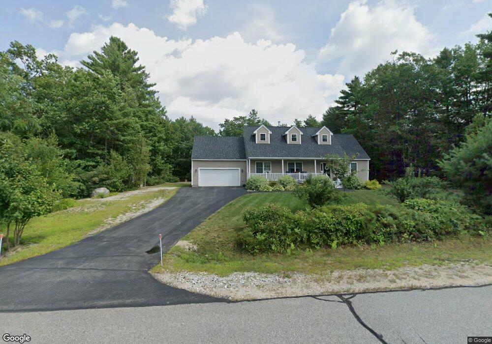
137 Pemigewasset Dr Conway, NH 03818
Estimated Value: $517,650 - $589,000
3
Beds
2
Baths
1,456
Sq Ft
$380/Sq Ft
Est. Value
About This Home
This home is located at 137 Pemigewasset Dr, Conway, NH 03818 and is currently estimated at $552,663, approximately $379 per square foot. 137 Pemigewasset Dr is a home with nearby schools including A. Crosby Kennett Middle School, Kennett High School, and Cady Memorial School.
Ownership History
Date
Name
Owned For
Owner Type
Purchase Details
Closed on
Feb 27, 2015
Sold by
Kc Woods Developers Ll
Bought by
Hamilton William G and Hamilton Ellen F
Current Estimated Value
Home Financials for this Owner
Home Financials are based on the most recent Mortgage that was taken out on this home.
Original Mortgage
$110,000
Outstanding Balance
$84,187
Interest Rate
3.66%
Mortgage Type
New Conventional
Estimated Equity
$468,476
Create a Home Valuation Report for This Property
The Home Valuation Report is an in-depth analysis detailing your home's value as well as a comparison with similar homes in the area
Home Values in the Area
Average Home Value in this Area
Purchase History
| Date | Buyer | Sale Price | Title Company |
|---|---|---|---|
| Hamilton William G | $235,400 | -- |
Source: Public Records
Mortgage History
| Date | Status | Borrower | Loan Amount |
|---|---|---|---|
| Open | Hamilton William G | $110,000 |
Source: Public Records
Tax History Compared to Growth
Tax History
| Year | Tax Paid | Tax Assessment Tax Assessment Total Assessment is a certain percentage of the fair market value that is determined by local assessors to be the total taxable value of land and additions on the property. | Land | Improvement |
|---|---|---|---|---|
| 2024 | $5,898 | $491,500 | $56,800 | $434,700 |
| 2023 | $5,303 | $491,500 | $56,800 | $434,700 |
| 2022 | $4,648 | $254,800 | $50,400 | $204,400 |
| 2021 | $4,163 | $254,800 | $50,400 | $204,400 |
| 2020 | $4,403 | $253,200 | $50,400 | $202,800 |
| 2019 | $4,385 | $253,200 | $50,400 | $202,800 |
| 2018 | $4,745 | $226,800 | $70,200 | $156,600 |
| 2017 | $4,412 | $220,800 | $70,200 | $150,600 |
| 2016 | $4,264 | $220,800 | $70,200 | $150,600 |
| 2015 | $4,215 | $220,800 | $70,200 | $150,600 |
| 2014 | $4,164 | $220,800 | $70,200 | $150,600 |
| 2013 | $1,004 | $56,200 | $56,200 | $0 |
Source: Public Records
Map
Nearby Homes
- 106 Pemigewasset Dr
- 293 Pemigewasset Dr
- 289 Davis Hill Rd
- 361 Davis Hill Rd
- 25 Singer Ln
- 33 Sands Cir
- 48 Sands Cir Unit 48D
- 574 Old Mill Rd
- 42 Harmony Ln Unit 5
- 43 Wildwood Way
- 1049 E Main St
- 24 Loon Mountain Ln
- 14 Goldfinch Ln
- 169 Mountainvale Dr
- 158 Fox Hill Ln
- 63 Mill St
- 827 Davis Hill Rd
- 1139 E Conway Rd
- 00 Brownfield Rd Unit 11
- 00 Davis Hill Rd Unit 97
- 153 Pemigewasset Dr
- 125 Pemigewasset Dr
- 0 Pemigewasset
- 0 Pemigewasset
- 0 Pemigewasset
- 0 Pemigewasett
- 0 Pemigewasset
- 0 Pemigewasset
- 0 Pemigewasset Unit 4179125
- 0 Pemigewasset Unit 4179135
- 0 Pemigewasset Unit 4179113
- 0 Pemigewasset Unit 4179131
- 0 Pemigewasset Unit 34 4994029
- 0 Pemigewasset Unit 4107773
- 0 Pemigewasset Unit 4056721
- 0 Pemigewasset Unit 4027926
- 0 Pemigewasset Unit 4025882
- 0 Pemigewasset Unit 14 4890226
- 0 Pemigewasset Unit 7 4890168
- 0 Pemigewasset Unit 17 4879960