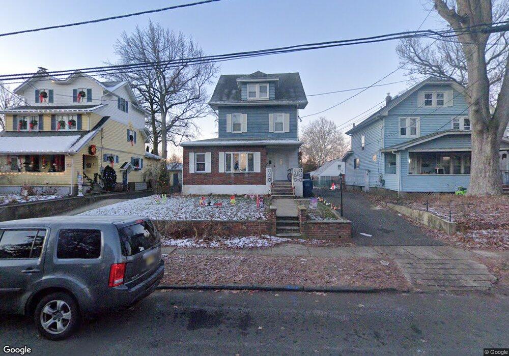
137 Poplar Ave Hackensack, NJ 07601
Estimated Value: $632,000 - $764,000
--
Bed
--
Bath
1,853
Sq Ft
$373/Sq Ft
Est. Value
About This Home
This home is located at 137 Poplar Ave, Hackensack, NJ 07601 and is currently estimated at $691,201, approximately $373 per square foot. 137 Poplar Ave is a home located in Bergen County with nearby schools including Hackensack High School and Bergen County Christian Academy.
Ownership History
Date
Name
Owned For
Owner Type
Purchase Details
Closed on
Mar 17, 1999
Sold by
Damico Charles
Bought by
Ferlise Salvatore and Ferlise Josephine
Current Estimated Value
Home Financials for this Owner
Home Financials are based on the most recent Mortgage that was taken out on this home.
Original Mortgage
$124,600
Outstanding Balance
$30,233
Interest Rate
6.78%
Estimated Equity
$660,968
Create a Home Valuation Report for This Property
The Home Valuation Report is an in-depth analysis detailing your home's value as well as a comparison with similar homes in the area
Home Values in the Area
Average Home Value in this Area
Purchase History
| Date | Buyer | Sale Price | Title Company |
|---|---|---|---|
| Ferlise Salvatore | $178,000 | -- |
Source: Public Records
Mortgage History
| Date | Status | Borrower | Loan Amount |
|---|---|---|---|
| Open | Ferlise Salvatore | $124,600 |
Source: Public Records
Tax History Compared to Growth
Tax History
| Year | Tax Paid | Tax Assessment Tax Assessment Total Assessment is a certain percentage of the fair market value that is determined by local assessors to be the total taxable value of land and additions on the property. | Land | Improvement |
|---|---|---|---|---|
| 2025 | $13,410 | $438,800 | $213,400 | $225,400 |
| 2024 | $12,633 | $438,800 | $213,400 | $225,400 |
| 2023 | $11,953 | $438,800 | $213,400 | $225,400 |
| 2022 | $11,953 | $426,600 | $206,500 | $220,100 |
| 2021 | $11,820 | $352,000 | $177,300 | $174,700 |
| 2020 | $11,648 | $352,000 | $177,300 | $174,700 |
| 2019 | $11,642 | $346,800 | $174,800 | $172,000 |
| 2018 | $11,669 | $341,900 | $171,300 | $170,600 |
| 2017 | $11,495 | $336,600 | $168,800 | $167,800 |
| 2016 | $10,941 | $323,900 | $158,800 | $165,100 |
| 2015 | $9,702 | $277,200 | $155,400 | $121,800 |
| 2014 | $9,209 | $277,200 | $155,400 | $121,800 |
Source: Public Records
Map
Nearby Homes
- 127 Poplar Ave
- 81 Fairmount Ave
- 115 Fairmount Ave
- 150 Grand Ave Unit 1A
- 246 Ross Ave
- 140 Euclid Ave Unit 1H
- 140 Euclid Ave Unit 2F
- 140 Euclid Ave Unit 4G
- 258 Clinton Place
- 25 Grand Ave Unit 7B
- 178 Fairmount Ave
- 290 Clinton Place
- 309 Lookout Ave
- 131 Clinton Place Unit 314
- 269 Poplar Ave
- 165 Pine St
- 245 Anderson St Unit 4I
- 245 Anderson St Unit 3A
- 50 Euclid Ave Unit 2G
- 240 Hamilton Place
- 137 Poplar Ave Unit 2nd Floor
- 137 Poplar Ave Unit 1st Floor
- 139 Poplar Ave
- 135 Poplar Ave
- 141 Poplar Ave
- 129 Poplar Ave
- 12 Pine St
- 149 Poplar Ave
- 170 Ross Ave
- 166 Ross Ave
- 121 Poplar Ave
- 174 Ross Ave
- 155 Poplar Ave
- 4 Pine St
- 142 Poplar Ave
- 138 Poplar Ave
- 144 Poplar Ave
- 11 Pine St
- 134 Poplar Ave
- 152 Poplar Ave