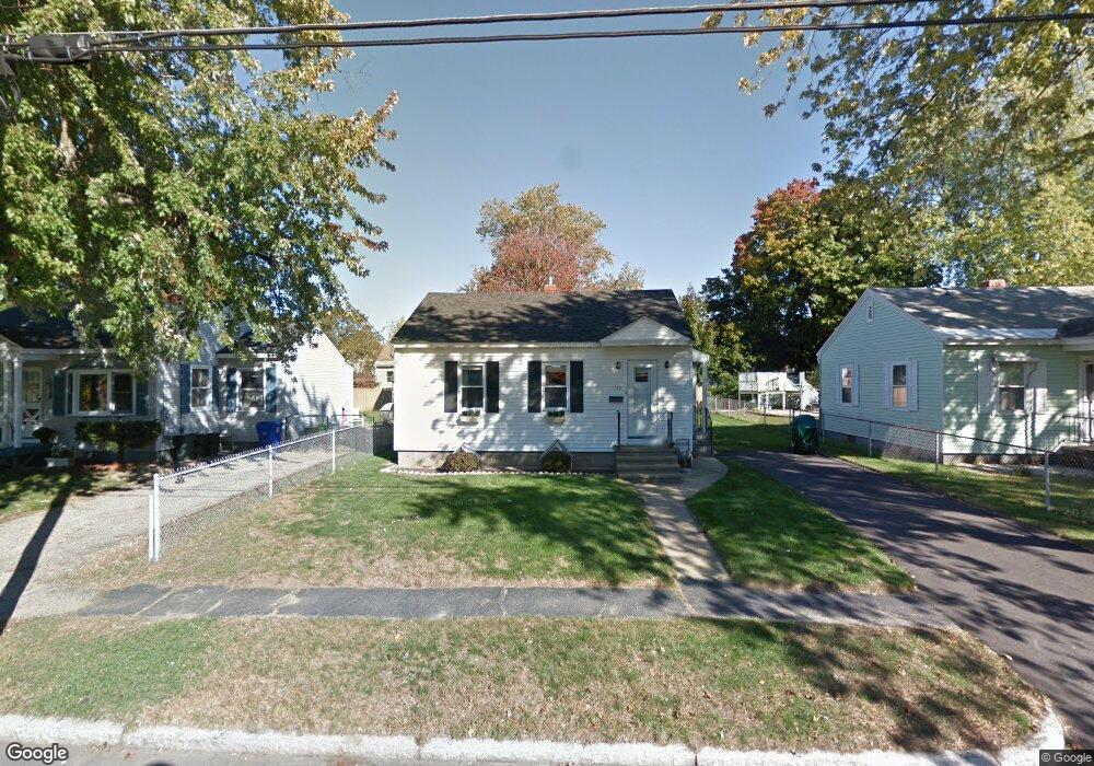
137 Porter St Manchester, NH 03103
Somerville NeighborhoodEstimated Value: $320,000 - $348,000
2
Beds
1
Bath
648
Sq Ft
$520/Sq Ft
Est. Value
About This Home
This home is located at 137 Porter St, Manchester, NH 03103 and is currently estimated at $337,096, approximately $520 per square foot. 137 Porter St is a home located in Hillsborough County with nearby schools including Jewett Street Elementary School, Southside Middle School, and Manchester Memorial High School.
Ownership History
Date
Name
Owned For
Owner Type
Purchase Details
Closed on
Jul 19, 2004
Sold by
Gromko Timothy J
Bought by
Vachon Kathy A
Current Estimated Value
Home Financials for this Owner
Home Financials are based on the most recent Mortgage that was taken out on this home.
Original Mortgage
$121,730
Interest Rate
6.25%
Mortgage Type
Purchase Money Mortgage
Create a Home Valuation Report for This Property
The Home Valuation Report is an in-depth analysis detailing your home's value as well as a comparison with similar homes in the area
Home Values in the Area
Average Home Value in this Area
Purchase History
| Date | Buyer | Sale Price | Title Company |
|---|---|---|---|
| Vachon Kathy A | $173,900 | -- |
Source: Public Records
Mortgage History
| Date | Status | Borrower | Loan Amount |
|---|---|---|---|
| Open | Vachon Kathy A | $145,911 | |
| Closed | Vachon Kathy A | $155,776 | |
| Closed | Vachon Kathy A | $121,730 |
Source: Public Records
Tax History Compared to Growth
Tax History
| Year | Tax Paid | Tax Assessment Tax Assessment Total Assessment is a certain percentage of the fair market value that is determined by local assessors to be the total taxable value of land and additions on the property. | Land | Improvement |
|---|---|---|---|---|
| 2024 | $4,149 | $211,900 | $84,600 | $127,300 |
| 2023 | $3,996 | $211,900 | $84,600 | $127,300 |
| 2022 | $3,865 | $211,900 | $84,600 | $127,300 |
| 2021 | $3,746 | $211,900 | $84,600 | $127,300 |
| 2020 | $3,356 | $136,100 | $58,300 | $77,800 |
| 2019 | $3,310 | $136,100 | $58,300 | $77,800 |
| 2018 | $3,223 | $136,100 | $58,300 | $77,800 |
| 2017 | $3,174 | $136,100 | $58,300 | $77,800 |
| 2016 | $3,149 | $136,100 | $58,300 | $77,800 |
| 2015 | $3,225 | $137,600 | $58,300 | $79,300 |
| 2014 | $3,234 | $137,600 | $58,300 | $79,300 |
| 2013 | $3,119 | $137,600 | $58,300 | $79,300 |
Source: Public Records
Map
Nearby Homes
- 75 Fremont St
- 52 Mammoth Rd
- 167 Mammoth Rd
- 63 Maynard Ave
- 35 Little Ave
- 53 Jewett St
- 80 Jewett St
- 201 Jewett St
- 82 S Jewett St
- 95 Medford St
- 165 Taylor St
- 335 Cypress St Unit 4A
- 335 Cypress St Unit 2P
- 335 Cypress St Unit 3B
- 22 Crawford St
- 146 Woodbine Ave
- 43 Carver St
- 116 Roysan St
- 39 Richard St
- 380 Woodcrest Ct
- 147 Porter St
- 131 Porter St
- 155 Porter St
- 170 Knowlton St
- 121 Porter St
- 178 Knowlton St
- 162 Knowlton St
- 186 Knowlton St
- 154 Knowlton St
- 144 Porter St
- 1158 Clay St
- 1181 Somerville St
- 146 Knowlton St
- 1173 Somerville St
- 120 Porter St
- 1189 Somerville St
- 160 Porter St
- 107 Porter St
- 1197 Somerville St
- 138 Knowlton St