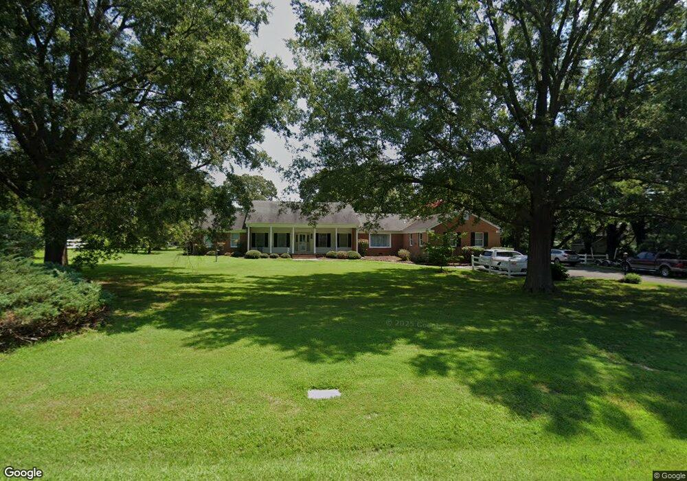
137 River Run Queenstown, MD 21658
Estimated Value: $1,200,000 - $1,505,000
--
Bed
4
Baths
3,648
Sq Ft
$373/Sq Ft
Est. Value
About This Home
This home is located at 137 River Run, Queenstown, MD 21658 and is currently estimated at $1,362,177, approximately $373 per square foot. 137 River Run is a home located in Queen Anne's County with nearby schools including Grasonville Elementary School, Stevensville Middle School, and Kent Island High School.
Ownership History
Date
Name
Owned For
Owner Type
Purchase Details
Closed on
Mar 25, 2025
Sold by
Julie Ann Brinster Living Trust and Dalton William
Bought by
Dalton Jeanne
Current Estimated Value
Purchase Details
Closed on
Aug 10, 2021
Sold by
Brinster Julie Ann and Brinster Julie
Bought by
Brinster Julie Ann and Julie Ann Brinster Liv Tr
Purchase Details
Closed on
Oct 30, 2018
Sold by
Brinster James
Bought by
Dalton Jeanne Brinster and Brinster Julie
Purchase Details
Closed on
Aug 28, 2018
Sold by
Brinster John and Dalton Jeanne Brinster
Bought by
Dalton Jeanne Brinster and Brinster Julie
Create a Home Valuation Report for This Property
The Home Valuation Report is an in-depth analysis detailing your home's value as well as a comparison with similar homes in the area
Home Values in the Area
Average Home Value in this Area
Purchase History
| Date | Buyer | Sale Price | Title Company |
|---|---|---|---|
| Dalton Jeanne | -- | None Listed On Document | |
| Brinster Julie Ann | -- | None Available | |
| Dalton Jeanne Brinster | -- | Mid Maryland Title Co Inc | |
| Dalton Jeanne Brinster | -- | Mid Maryland Title Co Inc |
Source: Public Records
Tax History Compared to Growth
Tax History
| Year | Tax Paid | Tax Assessment Tax Assessment Total Assessment is a certain percentage of the fair market value that is determined by local assessors to be the total taxable value of land and additions on the property. | Land | Improvement |
|---|---|---|---|---|
| 2025 | $9,716 | $1,073,833 | $0 | $0 |
| 2024 | $9,215 | $986,100 | $607,200 | $378,900 |
| 2023 | $8,777 | $936,700 | $0 | $0 |
| 2022 | $8,356 | $887,300 | $0 | $0 |
| 2021 | $8,096 | $837,900 | $507,200 | $330,700 |
| 2020 | $7,879 | $815,267 | $0 | $0 |
| 2019 | $7,602 | $792,633 | $0 | $0 |
| 2018 | $7,385 | $770,000 | $457,200 | $312,800 |
| 2017 | $7,430 | $769,233 | $0 | $0 |
| 2016 | -- | $768,467 | $0 | $0 |
| 2015 | $8,132 | $767,700 | $0 | $0 |
| 2014 | $8,132 | $767,700 | $0 | $0 |
Source: Public Records
Map
Nearby Homes
- 144 River Run
- 915 Sportsman Neck Rd
- 0 Grasonville Cemetery Rd
- 149 Sawmill Ln
- 155 Sawmill Ln
- 149,141,155 Sawmill Ln
- 1326 Perrys Corner Rd
- 113 Aslan Ct
- 201 Sawmill Ln
- 149 Unit 141155 SAWMILL Lane
- The Chester Plan at Whitetail Crossing
- The Cordova Plan at Whitetail Crossing
- The Miles Plan at Whitetail Crossing
- The Caroline Plan at Whitetail Crossing
- 141 Sawmill Ln
- 317 Caspian Dr
- 115 Masters Way
- 213 Slippery Hill Ln
- 29 Fairway Island
- 2006 Bennett Point Rd