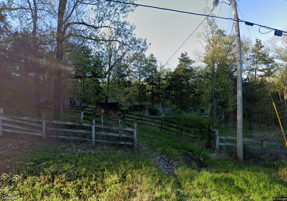
1370 Anderson Ln Chapel Hill, TN 37034
Estimated Value: $209,967 - $784,000
--
Bed
--
Bath
--
Sq Ft
4.9
Acres
About This Home
This home is located at 1370 Anderson Ln, Chapel Hill, TN 37034 and is currently estimated at $483,656. 1370 Anderson Ln is a home located in Marshall County with nearby schools including Chapel Hill Elementary School and Forrest School.
Ownership History
Date
Name
Owned For
Owner Type
Purchase Details
Closed on
Feb 21, 2008
Sold by
Whaley Sara Y Trustee
Bought by
James Potts
Current Estimated Value
Home Financials for this Owner
Home Financials are based on the most recent Mortgage that was taken out on this home.
Original Mortgage
$7,500
Outstanding Balance
$4,580
Interest Rate
5.46%
Estimated Equity
$479,076
Purchase Details
Closed on
Dec 30, 2003
Bought by
Whaley Sara Y Trustee Sara Y Whaley Living Tr
Purchase Details
Closed on
Jan 16, 2002
Sold by
Charles Yancey
Bought by
Green Nathan E
Purchase Details
Closed on
Aug 17, 1992
Bought by
Yancey Charles A and Yancey Elizabeth
Create a Home Valuation Report for This Property
The Home Valuation Report is an in-depth analysis detailing your home's value as well as a comparison with similar homes in the area
Home Values in the Area
Average Home Value in this Area
Purchase History
| Date | Buyer | Sale Price | Title Company |
|---|---|---|---|
| James Potts | $7,500 | -- | |
| Whaley Sara Y Trustee Sara Y Whaley Living Tr | -- | -- | |
| Green Nathan E | $10,200 | -- | |
| Yancey Charles A | $12,900 | -- |
Source: Public Records
Mortgage History
| Date | Status | Borrower | Loan Amount |
|---|---|---|---|
| Open | Yancey Charles A | $7,500 |
Source: Public Records
Tax History Compared to Growth
Tax History
| Year | Tax Paid | Tax Assessment Tax Assessment Total Assessment is a certain percentage of the fair market value that is determined by local assessors to be the total taxable value of land and additions on the property. | Land | Improvement |
|---|---|---|---|---|
| 2024 | $314 | $17,250 | $13,025 | $4,225 |
| 2023 | $314 | $17,250 | $13,025 | $4,225 |
| 2022 | $301 | $16,525 | $13,025 | $3,500 |
| 2021 | $250 | $8,875 | $5,275 | $3,600 |
| 2020 | $250 | $8,875 | $5,275 | $3,600 |
| 2019 | $250 | $8,875 | $5,275 | $3,600 |
| 2018 | $245 | $8,875 | $5,275 | $3,600 |
| 2017 | $240 | $8,875 | $5,275 | $3,600 |
| 2016 | $225 | $7,000 | $4,575 | $2,425 |
| 2015 | $225 | $7,000 | $4,575 | $2,425 |
| 2014 | $225 | $7,000 | $4,575 | $2,425 |
Source: Public Records
Map
Nearby Homes
- 0 Simpson Ln
- 4842 Lunns Store Rd
- 0 Lunns Store Rd
- 4711 Lunns Store Rd
- 1090 Derryberry Cemetery Rd
- 4650 Lunns Store Rd
- 1251 Hazelwood Rd
- 1418 Alyssa Dr
- 4781 Brookhollow Rd
- 4751 Thick Rd
- 1464 Azalee Ln
- 0 Neil Rd
- 1864 Sawgrass Ln
- 4705 Wildberry Ln
- 4757 Wildberry Ln
- 2071 Egypt Rd
- 4745 Wildberry Ln
- 0 Creek View Cir Unit RTC2688062
- 1883 Sawgrass Ln
- 1518 Azalee Ln
- 1380 Anderson Ln
- 1315 Anderson Ln
- 5070 Lunns Store Rd
- 5099 Lunns Store Rd
- 5099 Lunns Store Rd
- 1294 Anderson Ln
- 1280 Anderson Ln
- 5130 Lunns Store Rd
- 5131 Lunns Store Rd
- 5131 Lunns Store Rd
- 1252 Anderson Ln
- 5151 Simpson Ln
- 5171 Simpson Ln
- 5160 Lunns Store Rd
- 5181 Simpson Ln
- 0 Anderson Ln
- 4914 Lunns Store Rd
- 1222 Anderson Ln
- 5201 Simpson Ln
- 5111 Simpson Ln