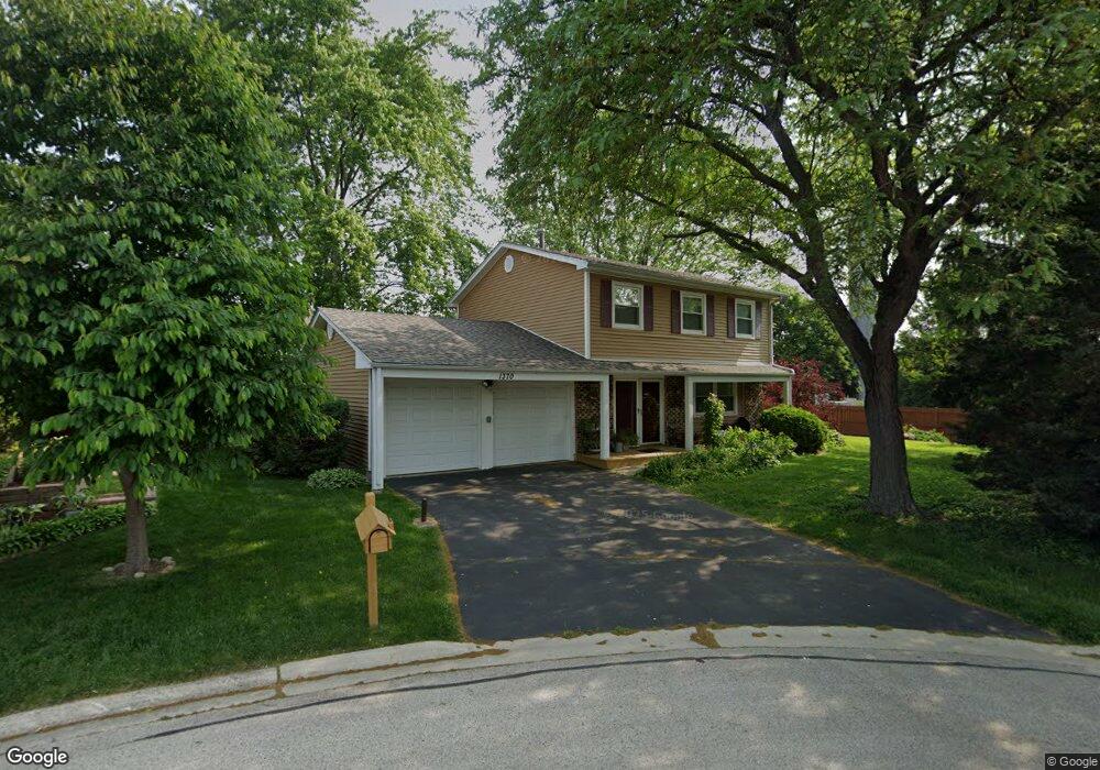
1370 Gloucester Ct Hoffman Estates, IL 60192
South Ridge NeighborhoodEstimated Value: $389,000 - $441,000
3
Beds
2
Baths
1,606
Sq Ft
$260/Sq Ft
Est. Value
About This Home
This home is located at 1370 Gloucester Ct, Hoffman Estates, IL 60192 and is currently estimated at $418,291, approximately $260 per square foot. 1370 Gloucester Ct is a home located in Cook County with nearby schools including Thomas Jefferson Elementary School, Frank C. Whiteley Elementary School, and William Fremd High School.
Ownership History
Date
Name
Owned For
Owner Type
Purchase Details
Closed on
Nov 8, 1993
Sold by
Rost Marylee Nowak and Rost Richard
Bought by
Nowak Rost Richard and Nowak Rost Marylee
Current Estimated Value
Home Financials for this Owner
Home Financials are based on the most recent Mortgage that was taken out on this home.
Original Mortgage
$105,000
Outstanding Balance
$46,670
Interest Rate
6.88%
Estimated Equity
$371,621
Create a Home Valuation Report for This Property
The Home Valuation Report is an in-depth analysis detailing your home's value as well as a comparison with similar homes in the area
Home Values in the Area
Average Home Value in this Area
Purchase History
| Date | Buyer | Sale Price | Title Company |
|---|---|---|---|
| Nowak Rost Richard | -- | -- | |
| Rost Marylee Nowak | $26,000 | -- |
Source: Public Records
Mortgage History
| Date | Status | Borrower | Loan Amount |
|---|---|---|---|
| Open | Nowak Rost Richard | $105,000 |
Source: Public Records
Tax History
| Year | Tax Paid | Tax Assessment Tax Assessment Total Assessment is a certain percentage of the fair market value that is determined by local assessors to be the total taxable value of land and additions on the property. | Land | Improvement |
|---|---|---|---|---|
| 2025 | $5,537 | $40,000 | $8,122 | $31,878 |
| 2024 | $5,537 | $26,958 | $6,962 | $19,996 |
| 2023 | $5,521 | $28,291 | $6,962 | $21,329 |
| 2022 | $5,521 | $28,291 | $6,962 | $21,329 |
| 2021 | $5,852 | $24,138 | $4,834 | $19,304 |
| 2020 | $6,620 | $25,799 | $4,834 | $20,965 |
| 2019 | $6,556 | $28,603 | $4,834 | $23,769 |
| 2018 | $5,540 | $23,671 | $4,447 | $19,224 |
| 2017 | $6,929 | $25,662 | $4,447 | $21,215 |
| 2016 | $6,685 | $25,662 | $4,447 | $21,215 |
| 2015 | $6,466 | $23,428 | $4,060 | $19,368 |
| 2014 | $6,361 | $23,428 | $4,060 | $19,368 |
| 2013 | $6,182 | $23,428 | $4,060 | $19,368 |
Source: Public Records
Map
Nearby Homes
- 4480 Thornbark Dr
- 1478 W Sapphire Dr
- 4100 N Victoria Dr
- 1690 Cape Breton Ct
- 1280 Clover Ln
- 1213 Silver Pine Dr
- 3881 Bordeaux Dr
- 3830 Anjou Ln
- 4950 Tarrington Dr
- 4990 Rochester Dr
- 5190 Chambers Dr
- 61 E Rd
- 61 E Rd
- 61 E Palatine #4 Rd
- 5187 Chambers Dr
- 2072 Palatine Rd
- 61 E Palatine Rd
- 1030 Ridgeview Dr
- 2204 Shetland Rd
- 1120 Ashley Ln
- 1360 Gloucester Ct
- 1365 Westbury Dr
- 1375 Westbury Dr
- 1380 Gloucester Ct
- 1385 Westbury Dr
- 1350 Rock Cove Ct
- 1365 Gloucester Ct
- 1390 Gloucester Ct
- 1355 Rock Cove Ct
- 4395 N Stone Harbor Dr
- 1375 Gloucester Ct
- 1340 Rock Cove Ct
- 1345 Westbury Dr
- 1385 Gloucester Ct
- 1395 Gloucester Ct
- 1330 Rock Cove Ct
- 1345 Rock Cove Ct
- 4401 Trailside Ct
- 1370 Nantucket Ct
- 1335 Westbury Dr
Your Personal Tour Guide
Ask me questions while you tour the home.