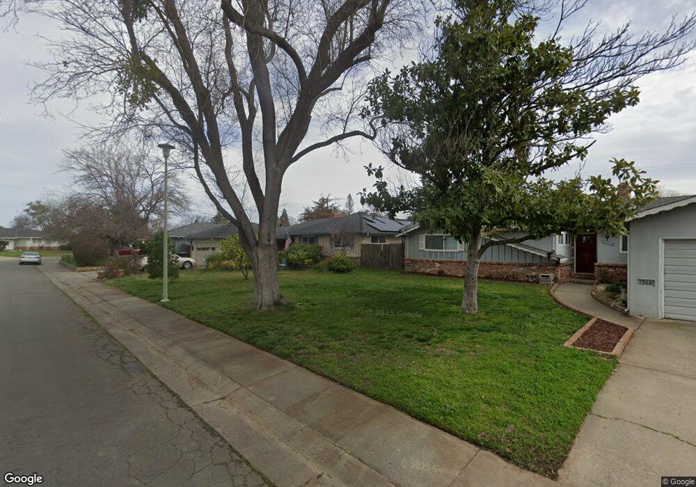
1370 Munger Way Sacramento, CA 95831
South Land Park NeighborhoodEstimated Value: $460,000 - $581,000
3
Beds
2
Baths
1,525
Sq Ft
$356/Sq Ft
Est. Value
About This Home
This home is located at 1370 Munger Way, Sacramento, CA 95831 and is currently estimated at $543,068, approximately $356 per square foot. 1370 Munger Way is a home located in Sacramento County with nearby schools including John Cabrillo Elementary School, Sam Brannan Middle School, and John F. Kennedy High School.
Ownership History
Date
Name
Owned For
Owner Type
Purchase Details
Closed on
Oct 30, 2006
Sold by
Cox Ronald T and Cox Lana Gwen
Bought by
Cox Ronald T and Cox Lana Gwen
Current Estimated Value
Home Financials for this Owner
Home Financials are based on the most recent Mortgage that was taken out on this home.
Original Mortgage
$372,000
Interest Rate
6.37%
Mortgage Type
Purchase Money Mortgage
Create a Home Valuation Report for This Property
The Home Valuation Report is an in-depth analysis detailing your home's value as well as a comparison with similar homes in the area
Home Values in the Area
Average Home Value in this Area
Purchase History
| Date | Buyer | Sale Price | Title Company |
|---|---|---|---|
| Cox Ronald T | -- | Financial Title Company |
Source: Public Records
Mortgage History
| Date | Status | Borrower | Loan Amount |
|---|---|---|---|
| Closed | Cox Ronald T | $372,000 |
Source: Public Records
Tax History Compared to Growth
Tax History
| Year | Tax Paid | Tax Assessment Tax Assessment Total Assessment is a certain percentage of the fair market value that is determined by local assessors to be the total taxable value of land and additions on the property. | Land | Improvement |
|---|---|---|---|---|
| 2025 | $5,993 | $111,759 | $15,411 | $96,348 |
| 2024 | $5,993 | $109,568 | $15,109 | $94,459 |
| 2023 | $5,950 | $107,420 | $14,813 | $92,607 |
| 2022 | $5,918 | $105,315 | $14,523 | $90,792 |
| 2021 | $5,847 | $103,251 | $14,239 | $89,012 |
| 2020 | $5,849 | $102,193 | $14,093 | $88,100 |
| 2019 | $5,820 | $100,190 | $13,817 | $86,373 |
| 2018 | $5,785 | $98,227 | $13,547 | $84,680 |
| 2017 | $5,761 | $96,302 | $13,282 | $83,020 |
| 2016 | $5,677 | $94,415 | $13,022 | $81,393 |
| 2015 | $1,120 | $92,998 | $12,827 | $80,171 |
| 2014 | $1,097 | $91,177 | $12,576 | $78,601 |
Source: Public Records
Map
Nearby Homes
- 6625 Fordham Way
- 6661 S Land Park Dr
- 6650 Belleau Wood Ln
- 6415 Chetwood Way
- 6877 Buena Terra Way
- 1312 58th Ave
- 7036 13th St
- 7048 13th St
- 6058 13th St
- 1261 42nd Ave
- 6874 Westmoreland Way
- 1052 Johnfer Way
- 966 Briarcrest Way
- 989 Johnfer Way
- 2025 50th Ave
- 2021 Arliss Way
- 2100 Monifieth Way
- 1436 Sterling St
- 6725 21st St
- 2041 Berg Ave
- 1360 Munger Way
- 1380 Munger Way
- 6578 14th St
- 6600 14th St
- 1350 Munger Way
- 1371 Munger Way
- 1390 Munger Way
- 1375 Munger Way
- 6610 14th St
- 1361 Munger Way
- 1381 Munger Way
- 1340 Munger Way
- 1351 Munger Way
- 1385 Munger Way
- 6620 14th St
- 6561 Longridge Way
- 6541 Longridge Way
- 6571 Longridge Way
- 1389 Munger Way
- 6579 14th St