1370 Sherrell Rd Hillsboro, TN 37342
Estimated Value: $317,000 - $2,857,899
--
Bed
3
Baths
4,783
Sq Ft
$332/Sq Ft
Est. Value
About This Home
This home is located at 1370 Sherrell Rd, Hillsboro, TN 37342 and is currently estimated at $1,587,450, approximately $331 per square foot. 1370 Sherrell Rd is a home located in Coffee County with nearby schools including Hillsboro Elementary School, Coffee County Middle School, and Coffee County Central High School.
Ownership History
Date
Name
Owned For
Owner Type
Purchase Details
Closed on
Nov 10, 2023
Sold by
Freedom Tree Holdings Llc
Bought by
Ftf Real Estate Holdings Llc
Current Estimated Value
Purchase Details
Closed on
Jan 28, 2022
Sold by
Bryan Land Holdings Llc
Bought by
Freedom Tree Holdings Llc
Purchase Details
Closed on
Oct 17, 2016
Sold by
Freedom Tree Farms Llc
Bought by
Bryan Land Holdings Llc
Purchase Details
Closed on
Sep 29, 1998
Sold by
Bryan Dale
Bought by
Duncan Stephen and Duncan Patricia
Purchase Details
Closed on
Sep 27, 1996
Bought by
Bryan Dale and Bryan Holly
Create a Home Valuation Report for This Property
The Home Valuation Report is an in-depth analysis detailing your home's value as well as a comparison with similar homes in the area
Home Values in the Area
Average Home Value in this Area
Purchase History
| Date | Buyer | Sale Price | Title Company |
|---|---|---|---|
| Ftf Real Estate Holdings Llc | -- | None Listed On Document | |
| Freedom Tree Holdings Llc | $1,890,000 | Chambliss Bahner & Stophel Pc | |
| Bryan Land Holdings Llc | -- | -- | |
| Duncan Stephen | $14,000 | -- | |
| Bryan Dale | $315,100 | -- |
Source: Public Records
Tax History Compared to Growth
Tax History
| Year | Tax Paid | Tax Assessment Tax Assessment Total Assessment is a certain percentage of the fair market value that is determined by local assessors to be the total taxable value of land and additions on the property. | Land | Improvement |
|---|---|---|---|---|
| 2024 | $6,811 | $292,200 | $107,700 | $184,500 |
| 2023 | $7,087 | $349,750 | $0 | $0 |
| 2022 | $5,115 | $219,425 | $118,750 | $100,675 |
| 2021 | $5,725 | $195,225 | $95,575 | $99,650 |
| 2020 | $5,725 | $195,225 | $95,575 | $99,650 |
| 2019 | $4,338 | $147,950 | $95,100 | $52,850 |
| 2018 | $4,338 | $147,950 | $95,100 | $52,850 |
| 2017 | $4,625 | $141,750 | $90,025 | $51,725 |
| 2016 | $4,625 | $141,750 | $90,025 | $51,725 |
| 2015 | $4,625 | $141,750 | $90,025 | $51,725 |
| 2014 | $4,625 | $141,749 | $0 | $0 |
Source: Public Records
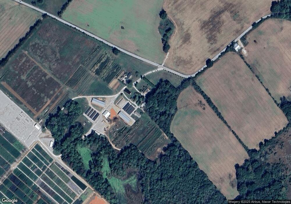
Map
Nearby Homes
- 774 Sherrell Rd
- 0 Laxton Rd Unit RTC2957818
- 11 Jess Long Ln
- 0 Providence Rd
- 9616 Old Alto Hwy
- 72 Lady Slipper Ln
- 66 Wilder Chapel Rd
- 0 U S Highway 64
- 0 White Ridge Rd
- 0 Claiborne View Rd Unit RTC2797207
- 0 Old Alto Hwy Unit RTC3039048
- 2526 Oak Grove Rd
- 1645 Oak Grove Rd
- 8084 Old Alto Hwy
- 0 Deep Woods Rd
- 836 Spur Rd
- 0 Spur Rd Unit RTC3013780
- 0 Spur Rd Unit RTC3013804
- 0 Spur Rd Unit RTC3013799
- 0 Spur Rd Unit RTC2991940