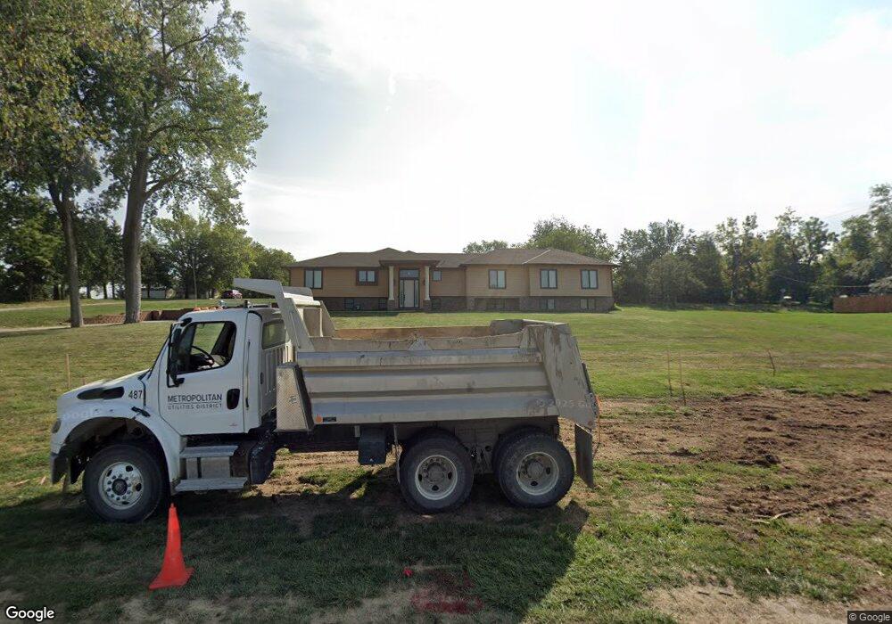
13703 S 36th St Bellevue, NE 68123
Estimated Value: $306,000 - $773,285
3
Beds
3
Baths
2,294
Sq Ft
$247/Sq Ft
Est. Value
About This Home
This home is located at 13703 S 36th St, Bellevue, NE 68123 and is currently estimated at $567,321, approximately $247 per square foot. 13703 S 36th St is a home located in Sarpy County with nearby schools including Two Springs Elementary School, Lewis & Clark Middle School, and Bellevue East High School.
Ownership History
Date
Name
Owned For
Owner Type
Purchase Details
Closed on
Dec 6, 2023
Sold by
Smith Riordan L and Smith Ramona B
Bought by
City Of Bellevue Nebraska
Current Estimated Value
Purchase Details
Closed on
Jul 18, 2011
Sold by
Sturgeon Thelma L
Bought by
Smith Riordan L and Smith Ramona B
Home Financials for this Owner
Home Financials are based on the most recent Mortgage that was taken out on this home.
Original Mortgage
$408,500
Interest Rate
4.43%
Mortgage Type
New Conventional
Create a Home Valuation Report for This Property
The Home Valuation Report is an in-depth analysis detailing your home's value as well as a comparison with similar homes in the area
Home Values in the Area
Average Home Value in this Area
Purchase History
| Date | Buyer | Sale Price | Title Company |
|---|---|---|---|
| City Of Bellevue Nebraska | -- | None Listed On Document | |
| Smith Riordan L | $220,000 | Nlta |
Source: Public Records
Mortgage History
| Date | Status | Borrower | Loan Amount |
|---|---|---|---|
| Previous Owner | Smith Riordan L | $408,500 |
Source: Public Records
Tax History Compared to Growth
Tax History
| Year | Tax Paid | Tax Assessment Tax Assessment Total Assessment is a certain percentage of the fair market value that is determined by local assessors to be the total taxable value of land and additions on the property. | Land | Improvement |
|---|---|---|---|---|
| 2025 | $11,999 | $788,244 | $98,746 | $689,498 |
| 2024 | $13,347 | $687,877 | $98,746 | $589,131 |
| 2023 | $13,347 | $632,094 | $97,190 | $534,904 |
| 2022 | $10,658 | $495,244 | $94,500 | $400,744 |
| 2021 | $10,631 | $488,728 | $90,706 | $398,022 |
| 2020 | $10,123 | $463,892 | $77,906 | $385,986 |
| 2019 | $9,635 | $444,282 | $62,321 | $381,961 |
| 2018 | $9,591 | $454,159 | $56,304 | $397,855 |
| 2017 | $9,644 | $453,536 | $53,482 | $400,054 |
| 2016 | $8,631 | $414,874 | $53,482 | $361,392 |
| 2015 | $8,615 | $416,529 | $68,770 | $347,759 |
| 2014 | $8,753 | $420,470 | $68,770 | $351,700 |
| 2012 | -- | $425,149 | $68,770 | $356,379 |
Source: Public Records
Map
Nearby Homes
- 13602 S 36th St
- 3508 Jason Cir
- 3504 Sheridan Cir
- 14010 S 35th St
- 14013 S 35th St
- 3309 Lookingglass Dr
- 3716 Lookingglass Dr
- 3113 Tammy St
- 3728 Schuemann Dr
- 3738 Falcon Dr
- 13609 S 42nd Ave
- 2923 Blackhawk Dr
- 13717 S 42nd Ave
- 13809 S 42nd Ave
- 3506 Lynnwood Dr
- 3105 Mirror Cir
- 3108 Mirror Cir
- 3209 Meghan Dr
- 14310 S 30th Ave
- 12915 Forestdale Dr
- 13711 S 36th St
- 13611 S 36th St
- 3602 Fox Ridge Dr
- 13801 S 36th St
- 3502 Birchwood Dr
- 13701 S 37th Cir
- 3604 Fox Ridge Dr
- 13510 S 36th St
- 3601 Fox Ridge Dr
- 13701 S 37th Cir
- 3406 Montreal Cir
- 3408 Birchwood Dr
- 13502 36
- 3404 Montreal Cir
- 3405 Montreal Cir
- 3509 Blackhawk Dr
- 3603 Fox Ridge Dr
- 3507 Blackhawk Dr
- 3511 Blackhawk Dr
- 3505 Blackhawk Dr