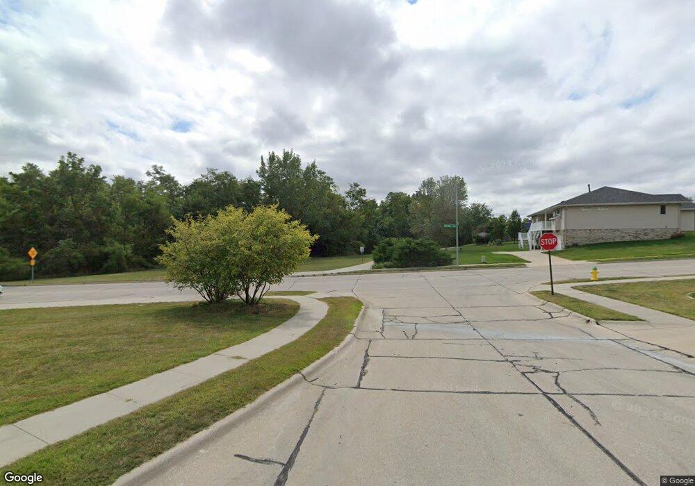
13704 S 37th Cir Bellevue, NE 68123
Estimated Value: $409,000 - $642,770
3
Beds
6
Baths
2,120
Sq Ft
$261/Sq Ft
Est. Value
About This Home
This home is located at 13704 S 37th Cir, Bellevue, NE 68123 and is currently estimated at $554,193, approximately $261 per square foot. 13704 S 37th Cir is a home located in Sarpy County with nearby schools including Bellevue Elementary School, Lewis & Clark Middle School, and Bellevue West High School.
Ownership History
Date
Name
Owned For
Owner Type
Purchase Details
Closed on
Dec 8, 2015
Sold by
Brown Darlene J
Bought by
Brown Darlene J and Darlene J Brown Trust
Current Estimated Value
Purchase Details
Closed on
Jun 4, 1998
Sold by
B M J Inc
Bought by
Brown Bernard L and Brown Darlene J
Home Financials for this Owner
Home Financials are based on the most recent Mortgage that was taken out on this home.
Original Mortgage
$200,000
Interest Rate
7.27%
Create a Home Valuation Report for This Property
The Home Valuation Report is an in-depth analysis detailing your home's value as well as a comparison with similar homes in the area
Home Values in the Area
Average Home Value in this Area
Purchase History
| Date | Buyer | Sale Price | Title Company |
|---|---|---|---|
| Brown Darlene J | -- | None Available | |
| Brown Bernard L | $279,000 | -- |
Source: Public Records
Mortgage History
| Date | Status | Borrower | Loan Amount |
|---|---|---|---|
| Closed | Brown Bernard L | $200,000 |
Source: Public Records
Tax History Compared to Growth
Tax History
| Year | Tax Paid | Tax Assessment Tax Assessment Total Assessment is a certain percentage of the fair market value that is determined by local assessors to be the total taxable value of land and additions on the property. | Land | Improvement |
|---|---|---|---|---|
| 2025 | $9,643 | $551,997 | $105,000 | $446,997 |
| 2024 | $9,643 | $549,998 | $100,000 | $449,998 |
| 2023 | $10,318 | $488,645 | $87,000 | $401,645 |
| 2022 | $8,713 | $404,893 | $78,000 | $326,893 |
| 2021 | $7,554 | $371,841 | $75,000 | $296,841 |
| 2020 | $8,068 | $369,719 | $73,000 | $296,719 |
| 2019 | $9,154 | $344,639 | $73,000 | $271,639 |
| 2018 | $8,728 | $333,659 | $68,000 | $265,659 |
| 2017 | $8,640 | $327,731 | $68,000 | $259,731 |
| 2016 | $8,337 | $321,538 | $68,000 | $253,538 |
| 2015 | $8,558 | $332,355 | $68,000 | $264,355 |
| 2014 | $8,502 | $329,916 | $68,000 | $261,916 |
| 2012 | -- | $321,259 | $68,000 | $253,259 |
Source: Public Records
Map
Nearby Homes
- 13602 S 36th St
- 14010 S 35th St
- 14013 S 35th St
- 3508 Jason Cir
- 13717 S 42nd Ave
- 13809 S 42nd Ave
- 13609 S 42nd Ave
- 3716 Lookingglass Dr
- 3504 Sheridan Cir
- 3728 Schuemann Dr
- 3309 Lookingglass Dr
- 3113 Tammy St
- 3738 Falcon Dr
- 4369 Lookingglass Dr
- 4409 Lookingglass Dr
- 4503 Clearwater Dr
- 3209 Meghan Dr
- 2939 Lone Tree Rd
- 3506 Lynnwood Dr
- 13069 S 42nd Ave Unit Lot 49
- 13702 S 37th Cir
- 3604 Fox Ridge Dr
- 3701 Fox Ridge Dr
- 13701 S 37th Cir
- 3605 Fox Ridge Dr
- 13701 S 37th Cir
- 3603 Fox Ridge Dr
- 3703 Fox Ridge Dr
- 3602 Fox Ridge Dr
- 3601 Fox Ridge Dr
- 13703 S 38th St
- 13701 S 38th St
- 13705 S 38th St
- 13711 S 36th St
- 13801 S 36th St
- 13609 Fornoff Ave
- 13510 S 36th St
- 13611 S 38th St
- 13703 S 36th St
- 13607 Fornoft Ave
