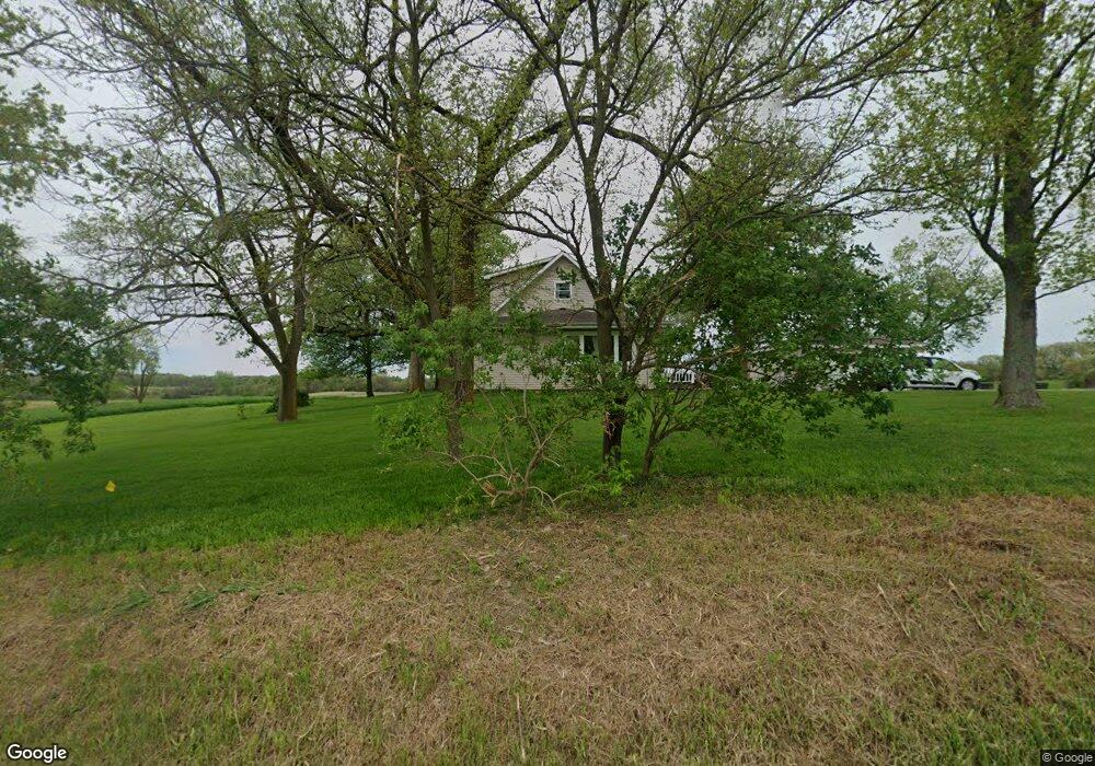
13708 W 169th Ave Unit 10 Lowell, IN 46356
West Creek NeighborhoodEstimated Value: $241,070 - $254,000
2
Beds
1
Bath
2,196
Sq Ft
$113/Sq Ft
Est. Value
About This Home
This home is located at 13708 W 169th Ave Unit 10, Lowell, IN 46356 and is currently estimated at $247,535, approximately $112 per square foot. 13708 W 169th Ave Unit 10 is a home located in Lake County with nearby schools including Lowell Middle School and Lowell Senior High School.
Ownership History
Date
Name
Owned For
Owner Type
Purchase Details
Closed on
Nov 29, 2021
Sold by
The Francis E Huppenthal Living Trust
Bought by
Huppenthal Isaiah F
Current Estimated Value
Home Financials for this Owner
Home Financials are based on the most recent Mortgage that was taken out on this home.
Original Mortgage
$197,400
Outstanding Balance
$154,312
Interest Rate
2.33%
Mortgage Type
New Conventional
Estimated Equity
$93,223
Purchase Details
Closed on
Aug 15, 2019
Sold by
Artin Michael P
Bought by
Francis E Huppenthal Living Trust
Create a Home Valuation Report for This Property
The Home Valuation Report is an in-depth analysis detailing your home's value as well as a comparison with similar homes in the area
Home Values in the Area
Average Home Value in this Area
Purchase History
| Date | Buyer | Sale Price | Title Company |
|---|---|---|---|
| Huppenthal Isaiah F | $420,000 | Fidelity National Title | |
| Francis E Huppenthal Living Trust | -- | None Available |
Source: Public Records
Mortgage History
| Date | Status | Borrower | Loan Amount |
|---|---|---|---|
| Open | Huppenthal Isaiah F | $197,400 |
Source: Public Records
Tax History Compared to Growth
Tax History
| Year | Tax Paid | Tax Assessment Tax Assessment Total Assessment is a certain percentage of the fair market value that is determined by local assessors to be the total taxable value of land and additions on the property. | Land | Improvement |
|---|---|---|---|---|
| 2024 | $599 | $36,500 | $28,900 | $7,600 |
| 2023 | $440 | $31,800 | $24,100 | $7,700 |
| 2022 | $440 | $27,100 | $19,000 | $8,100 |
| 2021 | $3,448 | $218,400 | $54,700 | $163,700 |
| 2020 | $3,181 | $208,300 | $54,600 | $153,700 |
| 2019 | $3,228 | $201,600 | $57,900 | $143,700 |
| 2018 | $3,185 | $198,900 | $58,500 | $140,400 |
| 2017 | $3,483 | $204,000 | $61,400 | $142,600 |
| 2016 | $3,509 | $212,100 | $62,700 | $149,400 |
| 2014 | $3,568 | $216,600 | $63,800 | $152,800 |
| 2013 | $3,582 | $207,900 | $60,200 | $147,700 |
Source: Public Records
Map
Nearby Homes
- 13199 W 169th Ave
- 12610 W 162nd Ave
- 13351 W 181st Ave
- 12312 W 157th Ave
- 14299 W 153rd Ln
- 15507 Magoun St Unit 10
- 12750 W 151st Ave
- 14664 Sheffield Ave
- 16280 Parrish Ave
- 615 Debra Kay Dr
- 872 Valley View Dr
- 688 Village Pkwy
- The Morgan Plan at Sierra Ridge
- The Brianna Lynn Plan at Sierra Ridge
- The Bristol Plan at Sierra Ridge
- The Olivia Plan at Sierra Ridge
- The Kinkaid Plan at Sierra Ridge
- The Ashley Plan at Sierra Ridge
- The Emma Grace Plan at Sierra Ridge
- The Lindsay Marie Plan at Sierra Ridge
- 13607 W 169th Ave Unit 10
- 0-Lot 3 W 169th Ave
- 0-Lot 1 W 169th Ave
- 13505 W 169th Ave
- 17006 Tapper St
- 17012 Tapper St
- 17071 Tapper St Unit 10
- 15302 W 169th Ave
- 13480 W 169th Ave Unit 10
- 13307 W 169th Ave
- 13311 W 169th Ave
- 13301 W 169th Ave
- 17116 Tapper St
- 17151 Tapper St
- 13511 W 165th Ave
- 13229 W 169th Ave
- 13223 W 169th Ave
- 13606 W 173rd Ave Unit 10
- 13115 W 169th Ave
- 13150 W 169th Ave