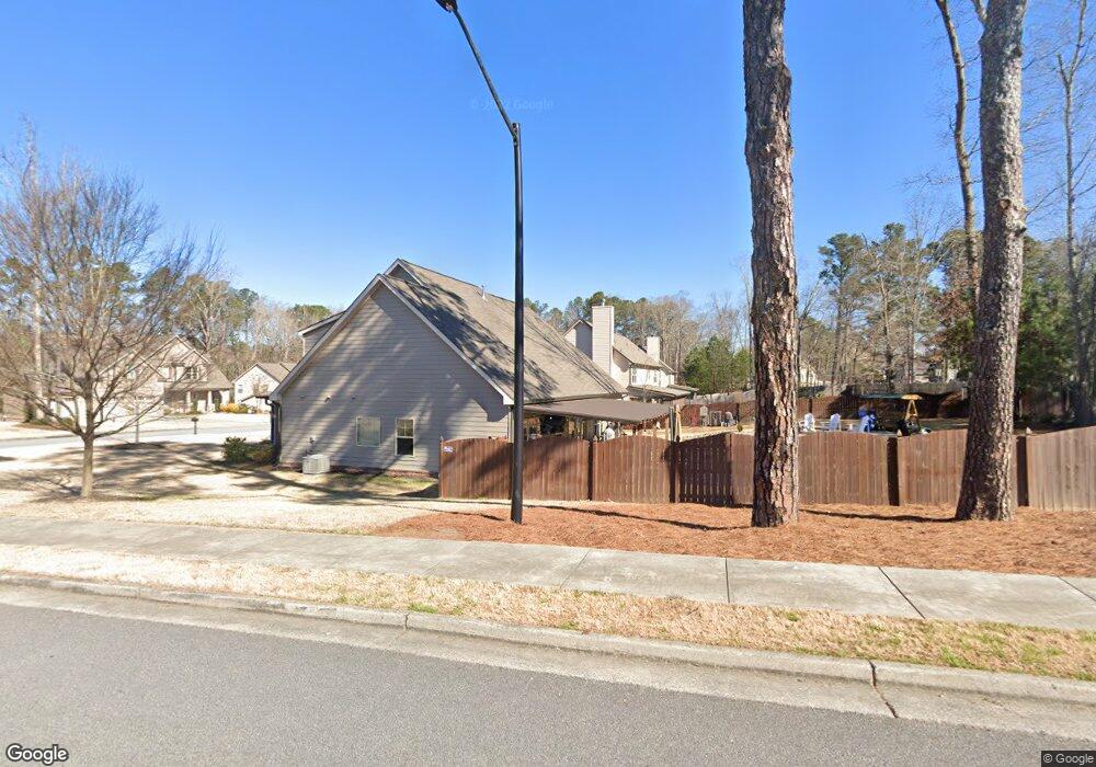
1371 Brody Dr Unit 16 Marietta, GA 30064
West Cobb NeighborhoodEstimated Value: $657,000 - $706,000
5
Beds
4
Baths
3,268
Sq Ft
$206/Sq Ft
Est. Value
About This Home
This home is located at 1371 Brody Dr Unit 16, Marietta, GA 30064 and is currently estimated at $673,521, approximately $206 per square foot. 1371 Brody Dr Unit 16 is a home located in Cobb County with nearby schools including Dowell Elementary School, Hillgrove High School, and Riverstone Montessori Academy.
Ownership History
Date
Name
Owned For
Owner Type
Purchase Details
Closed on
May 28, 2025
Sold by
Koltvedt Dreama J and Koltvedt Leslie D
Bought by
Blair Jeffrey Scott and Chastain Laura Bugg
Current Estimated Value
Purchase Details
Closed on
Dec 9, 2016
Sold by
Koltvedt Dreama J
Bought by
Koltvedt Leslie D and Koltvedt Dreama J
Home Financials for this Owner
Home Financials are based on the most recent Mortgage that was taken out on this home.
Original Mortgage
$268,521
Interest Rate
4.13%
Purchase Details
Closed on
Jul 8, 2016
Sold by
Pkc Properties Llc
Bought by
Koltvedt Dreama J
Home Financials for this Owner
Home Financials are based on the most recent Mortgage that was taken out on this home.
Original Mortgage
$268,521
Interest Rate
3.6%
Mortgage Type
New Conventional
Purchase Details
Closed on
Mar 22, 2013
Sold by
Pc Land Investments Inc
Bought by
Pkc Properties Llc
Create a Home Valuation Report for This Property
The Home Valuation Report is an in-depth analysis detailing your home's value as well as a comparison with similar homes in the area
Home Values in the Area
Average Home Value in this Area
Purchase History
| Date | Buyer | Sale Price | Title Company |
|---|---|---|---|
| Blair Jeffrey Scott | $653,000 | None Listed On Document | |
| Blair Jeffrey Scott | $653,000 | None Listed On Document | |
| Koltvedt Leslie D | $340,000 | -- | |
| Koltvedt Dreama J | $340,585 | -- | |
| Pkc Properties Llc | $302,000 | -- |
Source: Public Records
Mortgage History
| Date | Status | Borrower | Loan Amount |
|---|---|---|---|
| Previous Owner | Koltvedt Leslie D | $268,521 | |
| Previous Owner | Koltvedt Dreama J | $268,521 |
Source: Public Records
Tax History Compared to Growth
Tax History
| Year | Tax Paid | Tax Assessment Tax Assessment Total Assessment is a certain percentage of the fair market value that is determined by local assessors to be the total taxable value of land and additions on the property. | Land | Improvement |
|---|---|---|---|---|
| 2024 | $1,891 | $274,844 | $46,000 | $228,844 |
| 2023 | $1,597 | $245,588 | $36,000 | $209,588 |
| 2022 | $1,650 | $194,200 | $36,000 | $158,200 |
| 2021 | $1,602 | $178,200 | $36,000 | $142,200 |
| 2020 | $1,506 | $145,988 | $36,000 | $109,988 |
| 2019 | $1,506 | $145,988 | $36,000 | $109,988 |
| 2018 | $4,140 | $136,392 | $36,000 | $100,392 |
| 2017 | $3,921 | $136,392 | $36,000 | $100,392 |
| 2016 | $518 | $18,000 | $18,000 | $0 |
| 2015 | $530 | $18,000 | $18,000 | $0 |
| 2014 | $416 | $14,000 | $0 | $0 |
Source: Public Records
Map
Nearby Homes
- 1234 Wynford Colony SW
- 1518 Sage Ridge Dr
- 2866 Wynford Dr SW Unit 2
- 1209 Wilkes Way SW Unit 1
- 1237 Wynford Woods SW
- 3006 Coffman Ct SW
- 1311 Bustling Ln SW
- 1313 Bustling Ln SW
- 2418 Southern Oak Dr SW
- 2673 Altony Dr SW
- 1567 Vine Leaf Dr
- 1884 Dovonshire Rd SW
- 1004 Villa Rica Rd SW
- 3001 Ashland Ct SW
- 1765 Dew Place
- 1853 Edington Rd SW
- 3354 Hannah Ct
- 1214 Bonshaw Trail
- 2375 Westport Cir SW Unit 2
- 1371 Brody Dr
- 0 Brody Dr Unit 8128546
- 0 Brody Dr Unit 8740830
- 0 Brody Dr Unit 8800361
- 0 Brody Dr Unit 8863458
- 0 Brody Dr Unit 3281592
- 0 Brody Dr Unit 3281599
- 0 Brody Dr Unit 7102639
- 0 Brody Dr Unit 7138524
- 0 Brody Dr Unit 7149805
- 0 Brody Dr Unit 7149868
- 0 Brody Dr Unit 7210195
- 0 Brody Dr Unit 7424120
- 0 Brody Dr Unit 7532249
- 1365 Brody Dr
- 1383 Brody Dr
- 1461 Benjamin Ct SW Unit 2
- 1368 Brody Dr
- 1359 Brody Dr
- 1374 Brody Dr