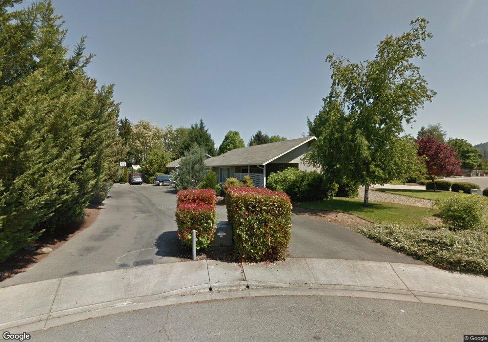
1371 Star Ct Unit A & B Grants Pass, OR 97527
Estimated Value: $509,408 - $594,000
6
Beds
4
Baths
2,332
Sq Ft
$237/Sq Ft
Est. Value
About This Home
This home is located at 1371 Star Ct Unit A & B, Grants Pass, OR 97527 and is currently estimated at $551,704, approximately $236 per square foot. 1371 Star Ct Unit A & B is a home located in Josephine County with nearby schools including Parkside Elementary School, South Middle School, and Grants Pass High School.
Ownership History
Date
Name
Owned For
Owner Type
Purchase Details
Closed on
Mar 18, 2016
Sold by
Alvarado Dennis G and Alvarado Arabella C
Bought by
The Dennis & Arabella Alvarado Family Tr
Current Estimated Value
Purchase Details
Closed on
Apr 13, 2005
Sold by
Letendre Lawrence M and Letendre Jacalyn B
Bought by
Alvarado Dennis G and Alvarado Arabella C
Home Financials for this Owner
Home Financials are based on the most recent Mortgage that was taken out on this home.
Original Mortgage
$178,500
Outstanding Balance
$91,870
Interest Rate
5.84%
Mortgage Type
Fannie Mae Freddie Mac
Estimated Equity
$459,834
Create a Home Valuation Report for This Property
The Home Valuation Report is an in-depth analysis detailing your home's value as well as a comparison with similar homes in the area
Home Values in the Area
Average Home Value in this Area
Purchase History
| Date | Buyer | Sale Price | Title Company |
|---|---|---|---|
| The Dennis & Arabella Alvarado Family Tr | -- | None Available | |
| Alvarado Dennis G | $329,000 | Ticor Title |
Source: Public Records
Mortgage History
| Date | Status | Borrower | Loan Amount |
|---|---|---|---|
| Open | Alvarado Dennis G | $178,500 |
Source: Public Records
Tax History Compared to Growth
Tax History
| Year | Tax Paid | Tax Assessment Tax Assessment Total Assessment is a certain percentage of the fair market value that is determined by local assessors to be the total taxable value of land and additions on the property. | Land | Improvement |
|---|---|---|---|---|
| 2025 | $4,031 | $310,400 | -- | -- |
| 2024 | $4,031 | $301,360 | -- | -- |
| 2023 | $3,797 | $292,590 | $0 | $0 |
| 2022 | $3,815 | $284,070 | -- | -- |
| 2021 | $3,583 | $275,800 | $0 | $0 |
| 2020 | $3,479 | $267,770 | $0 | $0 |
| 2019 | $3,379 | $259,980 | $0 | $0 |
| 2018 | $3,438 | $252,410 | $0 | $0 |
| 2017 | $3,412 | $245,060 | $0 | $0 |
| 2016 | $3,000 | $237,930 | $0 | $0 |
| 2015 | $2,902 | $231,000 | $0 | $0 |
| 2014 | $2,822 | $224,280 | $0 | $0 |
Source: Public Records
Map
Nearby Homes
- 776 Delsie Dr
- 1471 Dowell Rd
- 1193 Moon Glo Dr
- 1336 Annabelle Ln
- 1241 Dowell Rd Unit 28
- 1241 Dowell Rd Unit 62
- 2344 Redwood Ave
- 2372 Sequoia Ct
- 2387 Mulberry Ct
- 2398 Sasha Ct
- 2140 Nick Way
- 1630 Medart Ln
- 1634 Medart Ln
- 142 SW Jenn Way
- 111 Briarwood Way
- 112 Briarwood Way
- 1700 Medart Ln
- 219 Kingsbury Dr
- 701 Westmont Dr
- 1484 SW Schutzwohl Ln
- 1371 Star Ct
- 1365 Sun Glo Dr
- 1365/1367 SW Sun Glo Dr
- 1361 Star Ct
- 1381 Sun Glo Dr Unit 2
- 1381 Sun Glo Dr
- 1361 SW Sun Glo Dr Unit 2
- 1358 Sun Glo Dr
- 1397 Sun Glo Dr
- 1345 Sun Glo Dr
- 1614 Leonard Rd
- 1352 Star Ct
- 1350 Sun Glo Dr
- 2100 N Star Dr
- 1610 Leonard Rd
- 1388 Dowell Rd
- 1364 Star Ct
- 1401 Sun Glo Dr
- 1341 Sun Glo Dr
- 1380 Dowell Rd