13710 R Dr N Battle Creek, MI 49014
Estimated Value: $148,000 - $325,000
3
Beds
1
Bath
1,344
Sq Ft
$166/Sq Ft
Est. Value
About This Home
This home is located at 13710 R Dr N, Battle Creek, MI 49014 and is currently estimated at $222,978, approximately $165 per square foot. 13710 R Dr N is a home located in Calhoun County with nearby schools including Bellevue Elementary School, Bellevue Junior/Senior High School, and Mt. Olivet Christian School.
Ownership History
Date
Name
Owned For
Owner Type
Purchase Details
Closed on
Mar 11, 2010
Sold by
Secretary Of Housing & Urban Development
Bought by
Oldham Mary
Current Estimated Value
Purchase Details
Closed on
Nov 21, 2008
Sold by
Wells Fargo Bank Na
Bought by
The Secretary Of Housing & Urban Develop
Purchase Details
Closed on
Sep 21, 2007
Sold by
Odette Ricky L and Odette Pammy A
Bought by
Wells Fargo Bank Na
Purchase Details
Closed on
Dec 9, 2005
Sold by
Odette Jeffrey and Odette Kerry
Bought by
Odette Ricky L and Odette Pammy A
Home Financials for this Owner
Home Financials are based on the most recent Mortgage that was taken out on this home.
Original Mortgage
$119,059
Interest Rate
6.36%
Mortgage Type
FHA
Purchase Details
Closed on
Jul 1, 2001
Sold by
Houk David B and Houk Julie
Bought by
Odette Jeffrey and Odette Kerry
Create a Home Valuation Report for This Property
The Home Valuation Report is an in-depth analysis detailing your home's value as well as a comparison with similar homes in the area
Home Values in the Area
Average Home Value in this Area
Purchase History
| Date | Buyer | Sale Price | Title Company |
|---|---|---|---|
| Oldham Mary | $45,000 | None Available | |
| The Secretary Of Housing & Urban Develop | -- | None Available | |
| Wells Fargo Bank Na | $121,930 | None Available | |
| Odette Ricky L | $120,000 | Chicago Title Insurance Co | |
| Odette Jeffrey | $39,300 | -- |
Source: Public Records
Mortgage History
| Date | Status | Borrower | Loan Amount |
|---|---|---|---|
| Previous Owner | Odette Ricky L | $119,059 |
Source: Public Records
Tax History Compared to Growth
Tax History
| Year | Tax Paid | Tax Assessment Tax Assessment Total Assessment is a certain percentage of the fair market value that is determined by local assessors to be the total taxable value of land and additions on the property. | Land | Improvement |
|---|---|---|---|---|
| 2025 | $1,473 | $85,200 | $0 | $0 |
| 2024 | $565 | $84,500 | $0 | $0 |
| 2023 | $2,009 | $81,900 | $0 | $0 |
| 2022 | $2,009 | $70,900 | $0 | $0 |
| 2021 | $2,009 | $60,400 | $0 | $0 |
| 2020 | $2,009 | $52,300 | $0 | $0 |
| 2019 | $0 | $51,400 | $0 | $0 |
| 2018 | $0 | $48,400 | $12,900 | $35,500 |
| 2017 | $0 | $41,700 | $0 | $0 |
| 2016 | $0 | $45,000 | $0 | $0 |
| 2015 | -- | $39,900 | $16,590 | $23,310 |
| 2014 | -- | $40,000 | $16,590 | $23,410 |
Source: Public Records
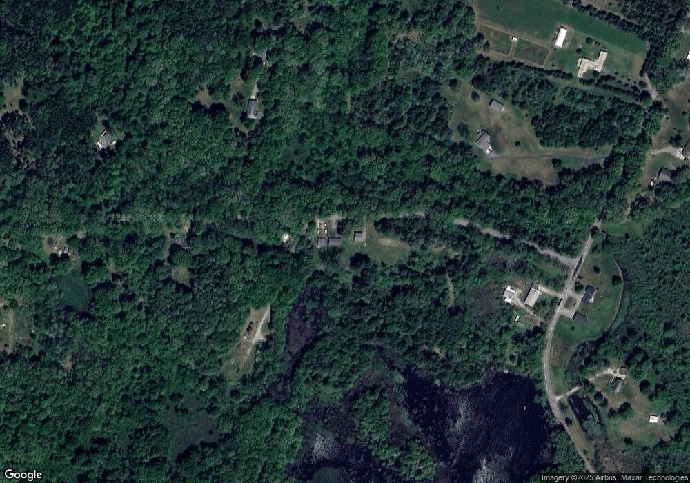
Map
Nearby Homes
- 20900 14 Mile Rd
- 12986 Bellevue Rd
- 0 Fairway Dr
- 19890 16 Mile Rd
- 11864 Gorsline Rd
- 13887 L Dr N
- 332 Community Dr
- 21350 Junction Rd
- 21534 Clear Lake Ave
- 19016 11 Mile Rd
- 22485 Clear Lake Rd N
- 0 Lynch Rd Unit 25041472
- 20291 Chippewa Trail
- 11303 W Dr N
- V/L Burton Hwy
- V L Burton Hwy
- 20259 Pine Lake Rd
- 10950 W Dr N
- 22975 Pine Lake Rd
- 8590 Greenfield Hwy