1372 175th St Independence, IA 50644
Estimated Value: $228,000 - $400,000
4
Beds
1
Bath
2,142
Sq Ft
$133/Sq Ft
Est. Value
About This Home
This home is located at 1372 175th St, Independence, IA 50644 and is currently estimated at $285,710, approximately $133 per square foot. 1372 175th St is a home located in Buchanan County with nearby schools including Jesup Elementary School, Jesup Middle School, and Jesup High School.
Ownership History
Date
Name
Owned For
Owner Type
Purchase Details
Closed on
Jun 28, 2016
Sold by
Helmuth Rudy J and Helmuth Lydia
Bought by
Yoder Glen E and Yoder Martha R
Current Estimated Value
Purchase Details
Closed on
May 17, 2016
Sold by
Helmuth Aden P and Helmuth Sara
Bought by
Kauffman John and Kauffman Sara Mae
Purchase Details
Closed on
Jan 14, 2005
Sold by
Helmuth Perry and Helmuth Esther J
Bought by
Helmuth Aden P and Helmuth Sara
Create a Home Valuation Report for This Property
The Home Valuation Report is an in-depth analysis detailing your home's value as well as a comparison with similar homes in the area
Home Values in the Area
Average Home Value in this Area
Purchase History
| Date | Buyer | Sale Price | Title Company |
|---|---|---|---|
| Yoder Glen E | $110,000 | None Available | |
| Kauffman John | $275,000 | None Available | |
| Helmuth Aden P | $110,000 | None Available |
Source: Public Records
Tax History Compared to Growth
Tax History
| Year | Tax Paid | Tax Assessment Tax Assessment Total Assessment is a certain percentage of the fair market value that is determined by local assessors to be the total taxable value of land and additions on the property. | Land | Improvement |
|---|---|---|---|---|
| 2025 | $2,436 | $168,680 | $36,700 | $131,980 |
| 2024 | $2,436 | $152,410 | $29,790 | $122,620 |
| 2023 | $2,358 | $152,410 | $29,790 | $122,620 |
| 2022 | $1,622 | $116,720 | $23,340 | $93,380 |
| 2021 | $1,480 | $85,710 | $23,340 | $62,370 |
| 2020 | $1,480 | $77,460 | $20,620 | $56,840 |
| 2019 | $1,448 | $77,460 | $20,620 | $56,840 |
| 2018 | $1,334 | $95,490 | $29,210 | $66,280 |
| 2017 | $1,334 | $95,490 | $29,210 | $66,280 |
| 2016 | $1,164 | $107,169 | $32,800 | $74,369 |
| 2015 | $1,164 | $107,169 | $32,800 | $74,369 |
| 2014 | $1,514 | $137,076 | $42,140 | $94,936 |
Source: Public Records
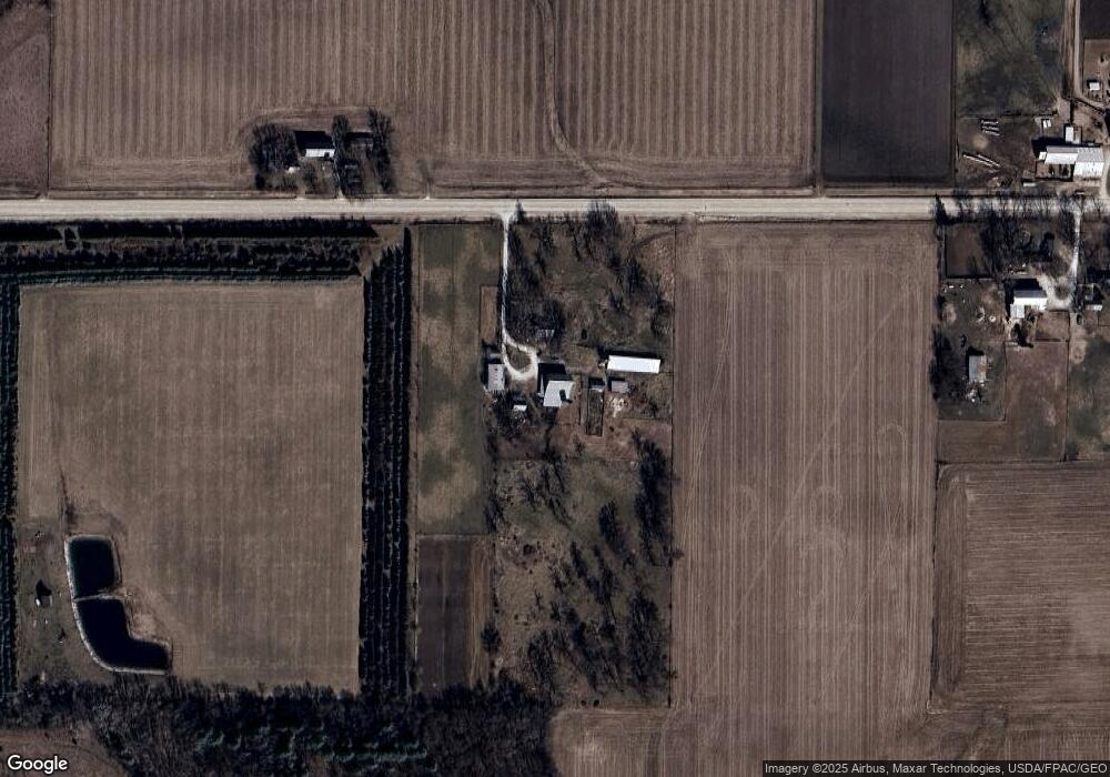
Map
Nearby Homes
- 1691 Cunningham Rd
- 1675 Golf Course Blvd Unit 28
- 845 Duroe St
- 1089 210th St
- 1221 220th St
- 715 Main St
- 625 6th St
- 0 Main St
- 414 3rd St
- 534 3rd St
- 1341 12th St
- 154 Hawley St
- 1217 220th St
- 1209 220th St
- 1314 9th St
- 0 Benson Ridge Addition Unit Lot 7 20241370
- 0 Benson Ridge Addition Unit Lot 2 20224979
- 0 Benson Ridge Addition Unit Lot 1 20224978
- Lot 4 Benson Shady Grove Ave
- Lot 2 Benson Shady Grove Ave
- 1363 175th St
- 1398 175th St
- 1400 175th St
- 1342 175th St
- 1405 175th St
- 1325 River Road Blvd
- 1317 175th St
- 1329 River Road Blvd
- 103 River Road Blvd
- 1388 River Road Blvd
- 305 River Road Blvd
- 808 State St
- 807 177th St
- 707 177th St
- 1410 River Road Blvd
- 611 177th St
- 704 State St
- 104 Chatham St N
- 108 Chatham St N
- 702 177th St Unit 25