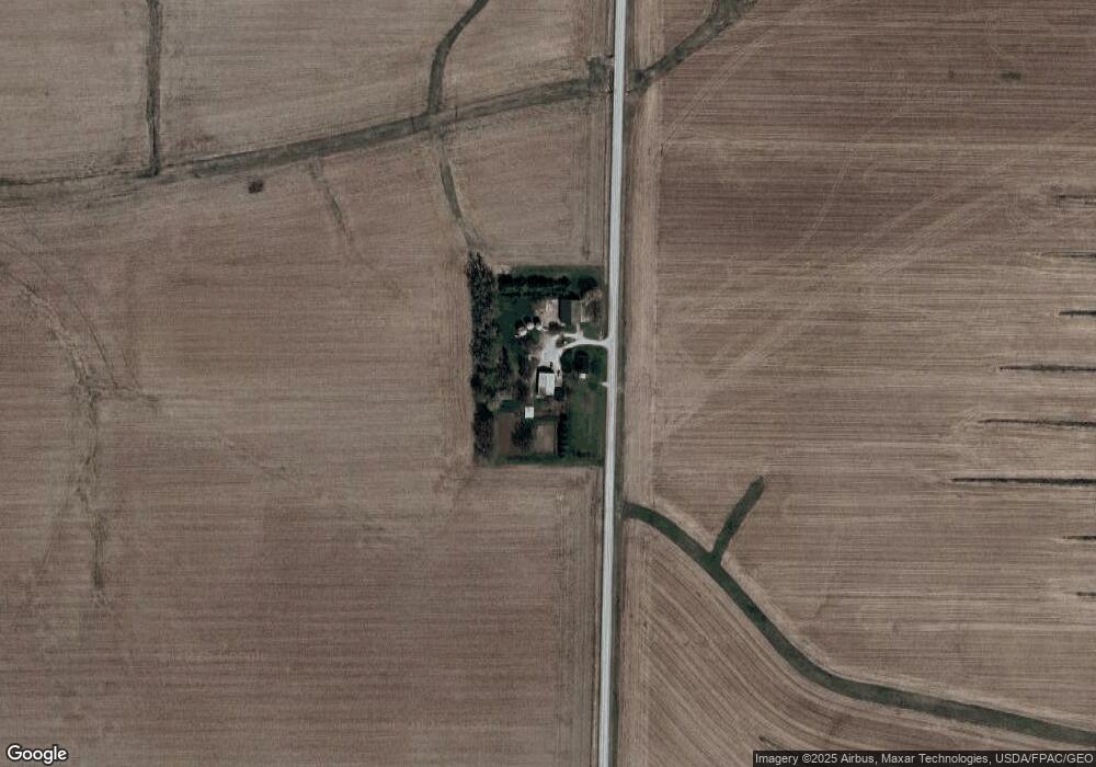
1372 Birkett Ave West Liberty, IA 52776
Estimated Value: $352,000 - $473,000
4
Beds
2
Baths
1,665
Sq Ft
$240/Sq Ft
Est. Value
About This Home
This home is located at 1372 Birkett Ave, West Liberty, IA 52776 and is currently estimated at $399,439, approximately $239 per square foot. 1372 Birkett Ave is a home located in Muscatine County with nearby schools including Early Childhood Center, West Liberty Middle School, and West Liberty High School.
Ownership History
Date
Name
Owned For
Owner Type
Purchase Details
Closed on
Nov 12, 2020
Sold by
Jackson Joshua Brandon and Jackson Paula Christina
Bought by
Williams Joseph David and Williams Renae Ann
Current Estimated Value
Home Financials for this Owner
Home Financials are based on the most recent Mortgage that was taken out on this home.
Original Mortgage
$28,500
Outstanding Balance
$25,553
Interest Rate
2.71%
Mortgage Type
New Conventional
Estimated Equity
$336,538
Purchase Details
Closed on
Feb 17, 2015
Sold by
Gauger Ronald and Gauger Joyce
Bought by
Jackson Joshua Brandon
Create a Home Valuation Report for This Property
The Home Valuation Report is an in-depth analysis detailing your home's value as well as a comparison with similar homes in the area
Home Values in the Area
Average Home Value in this Area
Purchase History
| Date | Buyer | Sale Price | Title Company |
|---|---|---|---|
| Williams Joseph David | $286,000 | None Available | |
| Williams Joseph David | $286,000 | None Available | |
| Jackson Joshua Brandon | -- | None Available | |
| Jackson Joshua Brandon | -- | None Available |
Source: Public Records
Mortgage History
| Date | Status | Borrower | Loan Amount |
|---|---|---|---|
| Open | Williams Joseph David | $28,500 | |
| Open | Williams Joseph David | $256,500 | |
| Closed | Williams Joseph David | $28,500 | |
| Previous Owner | Gauger Ronald R | $200,000 |
Source: Public Records
Tax History Compared to Growth
Tax History
| Year | Tax Paid | Tax Assessment Tax Assessment Total Assessment is a certain percentage of the fair market value that is determined by local assessors to be the total taxable value of land and additions on the property. | Land | Improvement |
|---|---|---|---|---|
| 2024 | $4,224 | $368,960 | $91,690 | $277,270 |
| 2023 | $4,224 | $367,809 | $91,690 | $276,119 |
| 2022 | $3,712 | $322,180 | $86,500 | $235,680 |
| 2021 | $3,712 | $274,690 | $86,500 | $188,190 |
| 2020 | $2,962 | $204,950 | $40,000 | $164,950 |
| 2019 | $3,056 | $188,480 | $0 | $0 |
| 2018 | $2,966 | $188,140 | $0 | $0 |
| 2017 | $2,966 | $179,910 | $0 | $0 |
| 2016 | $2,690 | $165,840 | $0 | $0 |
| 2015 | $2,690 | $105,720 | $0 | $0 |
Source: Public Records
Map
Nearby Homes
- 1118 120th St
- 1210 Davis Ave
- 1437 Terrace Ln
- 1443 Bunker Dr
- 1444 121st St
- 306 S Calhoun St
- 1330 100th St
- 0 130th St
- 0000 TBD E A St
- 719 N Calhoun St
- 0 Lot 2 12-78-4w Lot 2 Sd of Point Unit 24-555
- LOT Lot 3 Ol A Morg West Libe
- 401 E 3rd St
- 510 E 1st St
- 206 W Gibson St
- Lot 2 12-78-4w
- Lot 3 Ol A Morg
- 518 E 4th St
- 1001 N Miller St
- 401 W 16th St