1372 Blackstone Way Bogart, GA 30622
Estimated Value: $379,000 - $432,000
--
Bed
--
Bath
1,772
Sq Ft
$231/Sq Ft
Est. Value
About This Home
This home is located at 1372 Blackstone Way, Bogart, GA 30622 and is currently estimated at $408,738, approximately $230 per square foot. 1372 Blackstone Way is a home located in Oconee County with nearby schools including Rocky Branch Elementary School, Malcom Bridge Middle School, and North Oconee High School.
Ownership History
Date
Name
Owned For
Owner Type
Purchase Details
Closed on
Aug 27, 2021
Sold by
Smelter Daniel
Bought by
Mutta Mihir
Current Estimated Value
Home Financials for this Owner
Home Financials are based on the most recent Mortgage that was taken out on this home.
Original Mortgage
$228,800
Outstanding Balance
$173,879
Interest Rate
2.8%
Mortgage Type
New Conventional
Estimated Equity
$234,859
Purchase Details
Closed on
Mar 31, 2006
Sold by
Not Provided
Bought by
Smelter Daniel
Home Financials for this Owner
Home Financials are based on the most recent Mortgage that was taken out on this home.
Original Mortgage
$142,300
Interest Rate
6.75%
Mortgage Type
New Conventional
Purchase Details
Closed on
Aug 18, 2005
Sold by
Creekside Development Prop
Bought by
Choice Homes Inc
Create a Home Valuation Report for This Property
The Home Valuation Report is an in-depth analysis detailing your home's value as well as a comparison with similar homes in the area
Home Values in the Area
Average Home Value in this Area
Purchase History
| Date | Buyer | Sale Price | Title Company |
|---|---|---|---|
| Mutta Mihir | $286,000 | -- | |
| Smelter Daniel | $177,900 | -- | |
| Choice Homes Inc | $230,962 | -- |
Source: Public Records
Mortgage History
| Date | Status | Borrower | Loan Amount |
|---|---|---|---|
| Open | Mutta Mihir | $228,800 | |
| Previous Owner | Smelter Daniel | $142,300 | |
| Previous Owner | Smelter Daniel | $35,550 |
Source: Public Records
Tax History Compared to Growth
Tax History
| Year | Tax Paid | Tax Assessment Tax Assessment Total Assessment is a certain percentage of the fair market value that is determined by local assessors to be the total taxable value of land and additions on the property. | Land | Improvement |
|---|---|---|---|---|
| 2024 | $2,574 | $137,746 | $19,200 | $118,546 |
| 2023 | $2,574 | $126,423 | $16,000 | $110,423 |
| 2022 | $2,366 | $110,298 | $16,000 | $94,298 |
| 2021 | $1,887 | $81,532 | $14,400 | $67,132 |
| 2020 | $1,804 | $77,814 | $14,400 | $63,414 |
| 2019 | $1,713 | $73,880 | $14,400 | $59,480 |
| 2018 | $1,653 | $69,771 | $14,400 | $55,371 |
| 2017 | $1,524 | $64,332 | $14,400 | $49,932 |
| 2016 | $1,510 | $63,736 | $14,400 | $49,336 |
| 2015 | $1,497 | $63,073 | $14,400 | $48,673 |
| 2014 | $1,478 | $60,877 | $14,400 | $46,477 |
| 2013 | -- | $58,379 | $14,400 | $43,979 |
Source: Public Records
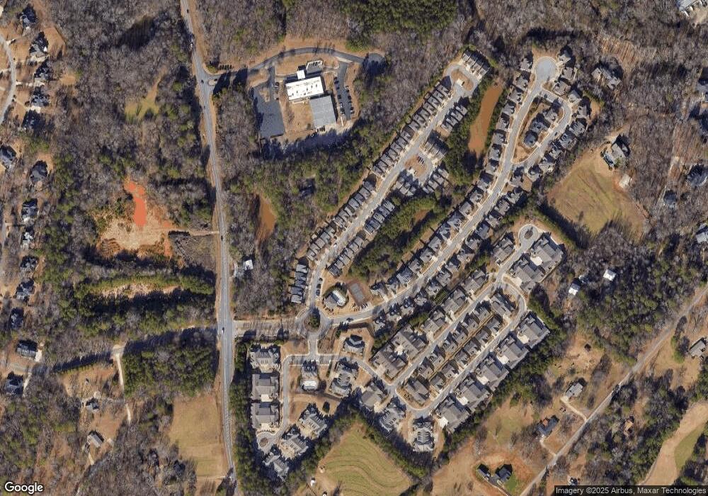
Map
Nearby Homes
- 1090 Ruby Way
- 1181 Pete Dickens Rd
- 1250 Pete Dickens Rd
- 4100 Monroe Hwy
- 4400 Monroe Hwy Unit PARCEL 1-7
- 1190 Cobblestone Ln
- 3240 Monroe Hwy
- 1101 Derby Ln
- 1101 Derby Ln
- 1120 Liberty Ln
- 1327 Eisenhower Ave
- 1145 Summerfield Ln
- 1180 Summerfield Ln
- 1220 Day Dr
- 1279 Day Dr
- 00 Ruth Jackson Rd
- 0 Ruth Jackson Rd Unit 10582108
- 3041 Monroe Hwy
- 1640 Madison Ct
- 1080 Garnet Trail
- 1030 Emerald Way
- 1100 Garnet Trail
- 00 Garnet Trail
- 1070 Garnet Trail Unit 20D
- 1070 Garnet Trail
- 0 Garnet Trail Unit 7240872
- 0 Garnet Trail Unit 7197176
- 0 Garnet Trail Unit 7187402
- 0 Garnet Trail Unit 7182963
- 0 Garnet Trail Unit 3184673
- 0 Garnet Trail Unit 3197179
- 0 Garnet Trail Unit 8760982
- 0 Garnet Trail Unit 8631217
- 0 Garnet Trail Unit 8240107
- 0 Garnet Trail Unit 8124994
- 0 Garnet Trail Unit 8502665
- 0 Garnet Trail Unit 8357761
- 0 Garnet Trail Unit 8183951
- 0 Garnet Trail Unit 3266852