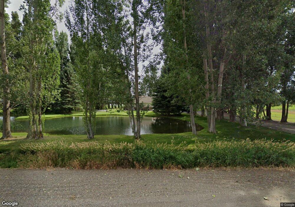
1372 E 400 N Saint Anthony, ID 83445
Estimated Value: $653,575 - $762,000
3
Beds
4
Baths
3,670
Sq Ft
$193/Sq Ft
Est. Value
About This Home
This home is located at 1372 E 400 N, Saint Anthony, ID 83445 and is currently estimated at $707,644, approximately $192 per square foot. 1372 E 400 N is a home located in Fremont County with nearby schools including Central Elementary School, Kershaw Intermediate School, and Sugar-Salem Junior High School.
Ownership History
Date
Name
Owned For
Owner Type
Purchase Details
Closed on
May 7, 2007
Sold by
Rydalch Robert R
Bought by
Rydalch Robert R and Rydalch Kelly
Current Estimated Value
Home Financials for this Owner
Home Financials are based on the most recent Mortgage that was taken out on this home.
Original Mortgage
$224,000
Interest Rate
6.17%
Mortgage Type
New Conventional
Create a Home Valuation Report for This Property
The Home Valuation Report is an in-depth analysis detailing your home's value as well as a comparison with similar homes in the area
Purchase History
| Date | Buyer | Sale Price | Title Company |
|---|---|---|---|
| Rydalch Robert R | -- | -- |
Source: Public Records
Mortgage History
| Date | Status | Borrower | Loan Amount |
|---|---|---|---|
| Closed | Rydalch Robert R | $224,000 |
Source: Public Records
Tax History Compared to Growth
Tax History
| Year | Tax Paid | Tax Assessment Tax Assessment Total Assessment is a certain percentage of the fair market value that is determined by local assessors to be the total taxable value of land and additions on the property. | Land | Improvement |
|---|---|---|---|---|
| 2025 | $1,978 | $427,493 | $77,280 | $350,213 |
| 2024 | $1,978 | $414,649 | $77,280 | $337,369 |
| 2023 | $1,853 | $414,649 | $77,280 | $337,369 |
| 2022 | $1,978 | $270,265 | $67,280 | $202,985 |
| 2021 | $1,755 | $180,568 | $45,524 | $135,044 |
| 2020 | $1,879 | $168,084 | $45,524 | $122,560 |
| 2019 | $1,854 | $168,084 | $45,524 | $122,560 |
| 2018 | $1,588 | $144,657 | $45,524 | $99,133 |
| 2017 | $18 | $143,731 | $44,158 | $99,573 |
| 2016 | $1,908 | $148,986 | $44,158 | $104,828 |
| 2015 | $2,098 | $243,731 | $0 | $0 |
| 2014 | $1,362 | $159,811 | $0 | $0 |
| 2013 | $1,362 | $162,731 | $0 | $0 |
Source: Public Records
Map
Nearby Homes
- 435 N 1500 E
- 1816 Teton View Dr
- TBD Henry's Fork Way
- 371 N 1900 E
- 1821 E E 170 N
- LOT 2 E 350 N
- LOT 4 E 350 N
- LOT 1 E 350 N
- LOT 3 E 350 N
- LOT 5 E 350 N
- 1825 E 170 N
- Lot 1 Bl 3 Trapper Ln
- 3625 N 2000 W
- 2303 W 3000 N
- 2120 N 6000 W
- 3779 Henry's Fork Way
- 2561 Silverleaf Ln
- 2260 Clover Meadow Way
- 232 N Spruce St
- 2124 N 3000 W
