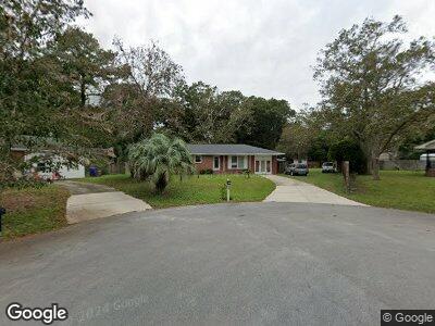
1372 Fields Cir Charleston, SC 29412
James Island NeighborhoodEstimated Value: $533,000 - $605,000
4
Beds
3
Baths
1,612
Sq Ft
$353/Sq Ft
Est. Value
About This Home
This home is located at 1372 Fields Cir, Charleston, SC 29412 and is currently estimated at $569,388, approximately $353 per square foot. 1372 Fields Cir is a home located in Charleston County with nearby schools including Harbor View Elementary School, Camp Road Middle, and James Island Charter High School.
Ownership History
Date
Name
Owned For
Owner Type
Purchase Details
Closed on
Sep 11, 2022
Sold by
Woodruff Stephanie
Bought by
Woodruff Robert
Current Estimated Value
Purchase Details
Closed on
Sep 26, 2008
Sold by
Baturin Richard L and Baturin Beverly P
Bought by
Woodruff Robert and Woodruff Stephanie
Home Financials for this Owner
Home Financials are based on the most recent Mortgage that was taken out on this home.
Original Mortgage
$192,850
Interest Rate
6.49%
Mortgage Type
Purchase Money Mortgage
Create a Home Valuation Report for This Property
The Home Valuation Report is an in-depth analysis detailing your home's value as well as a comparison with similar homes in the area
Home Values in the Area
Average Home Value in this Area
Purchase History
| Date | Buyer | Sale Price | Title Company |
|---|---|---|---|
| Woodruff Robert | -- | None Listed On Document | |
| Woodruff Robert | $210,000 | -- |
Source: Public Records
Mortgage History
| Date | Status | Borrower | Loan Amount |
|---|---|---|---|
| Previous Owner | Woodruff Robert | $160,000 | |
| Previous Owner | Woodruff Robert | $192,850 |
Source: Public Records
Tax History Compared to Growth
Tax History
| Year | Tax Paid | Tax Assessment Tax Assessment Total Assessment is a certain percentage of the fair market value that is determined by local assessors to be the total taxable value of land and additions on the property. | Land | Improvement |
|---|---|---|---|---|
| 2023 | $4,147 | $9,950 | $0 | $0 |
| 2022 | $1,131 | $9,950 | $0 | $0 |
| 2021 | $1,208 | $9,950 | $0 | $0 |
| 2020 | $1,221 | $9,950 | $0 | $0 |
| 2019 | $1,117 | $8,650 | $0 | $0 |
| 2017 | $1,185 | $8,650 | $0 | $0 |
| 2016 | $1,137 | $8,650 | $0 | $0 |
| 2015 | $1,177 | $8,650 | $0 | $0 |
| 2014 | $1,118 | $0 | $0 | $0 |
| 2011 | -- | $0 | $0 | $0 |
Source: Public Records
Map
Nearby Homes
- 1402 Camp Rd Unit 8B
- 1402 Camp Rd Unit 10C
- 1418 Kentwood Cir
- 27 Brockman Dr Unit 27C
- 1429 Swamp Fox Ln
- 1534 Kentwood Cir
- 1135 Shoreham Rd
- 20 Anderson Ave
- 1198 Oakcrest Dr
- 1404 Ivy Isle Dr
- 1146 Rivercrest Dr
- 1236 Midvale Ave
- 1224 Midvale Ave
- 1114 Jeffery Dr
- 1515 Devons St
- 922 Dill Ave
- 1060 Oakcrest Dr
- 1174 Fort Johnson Rd
- 1521 Camp Rd
- 68 Oyster Point Row
- 1372 Fields Cir
- 1368 Fields Cir
- 1034 Secessionville Rd
- 1038 Secessionville Rd
- 1030 Secessionville Rd
- 1042 Secessionville Rd
- 1371 Fields Cir
- 1046 Secessionville Rd
- 1026 Secessionville Rd
- 1371 Camp Rd
- 1367 Camp Rd
- 1364 Fields Cir
- 1375 Camp Rd
- 1365 Fields Cir
- 1050 Secessionville Rd
- 1363 Camp Rd
- 1054 Secessionville Rd
- 1379 Camp Rd
- 1360 Fields Cir
- 1359 Camp Rd