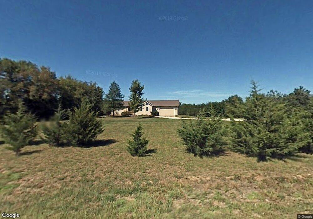
1372 N 550th Rd Baldwin City, KS 66006
Estimated Value: $485,788 - $723,000
4
Beds
3
Baths
1,578
Sq Ft
$359/Sq Ft
Est. Value
About This Home
This home is located at 1372 N 550th Rd, Baldwin City, KS 66006 and is currently estimated at $567,197, approximately $359 per square foot. 1372 N 550th Rd is a home located in Douglas County with nearby schools including Baldwin Elementary Primary Center, Baldwin Elementary Intermediate Center, and Baldwin Junior High School.
Ownership History
Date
Name
Owned For
Owner Type
Purchase Details
Closed on
Aug 13, 2007
Sold by
Nichols James K and Nichols Peggy G
Bought by
Tozer Richard C and Newel Karen K
Current Estimated Value
Home Financials for this Owner
Home Financials are based on the most recent Mortgage that was taken out on this home.
Original Mortgage
$179,920
Outstanding Balance
$114,091
Interest Rate
6.69%
Mortgage Type
Purchase Money Mortgage
Estimated Equity
$453,106
Create a Home Valuation Report for This Property
The Home Valuation Report is an in-depth analysis detailing your home's value as well as a comparison with similar homes in the area
Home Values in the Area
Average Home Value in this Area
Purchase History
| Date | Buyer | Sale Price | Title Company |
|---|---|---|---|
| Tozer Richard C | -- | Capital Title Ins Co Lc |
Source: Public Records
Mortgage History
| Date | Status | Borrower | Loan Amount |
|---|---|---|---|
| Open | Tozer Richard C | $179,920 |
Source: Public Records
Tax History Compared to Growth
Tax History
| Year | Tax Paid | Tax Assessment Tax Assessment Total Assessment is a certain percentage of the fair market value that is determined by local assessors to be the total taxable value of land and additions on the property. | Land | Improvement |
|---|---|---|---|---|
| 2025 | $5,481 | $47,714 | $8,708 | $39,006 |
| 2024 | $5,481 | $47,610 | $8,432 | $39,178 |
| 2023 | $5,081 | $42,527 | $7,880 | $34,647 |
| 2022 | $4,828 | $38,997 | $6,776 | $32,221 |
| 2021 | $4,089 | $32,420 | $6,665 | $25,755 |
| 2020 | $3,797 | $30,015 | $6,665 | $23,350 |
| 2019 | $3,695 | $29,176 | $6,445 | $22,731 |
| 2018 | $3,695 | $29,014 | $6,364 | $22,650 |
| 2017 | $3,624 | $27,738 | $6,364 | $21,374 |
| 2016 | $3,568 | $27,677 | $4,347 | $23,330 |
| 2015 | $3,550 | $27,416 | $4,347 | $23,069 |
| 2014 | $3,492 | $26,404 | $4,347 | $22,057 |
Source: Public Records
Map
Nearby Homes
- 618 E 1450 Rd
- 1409 N 650 Rd
- 1580 N 100 Rd
- 1560 N 100 Rd
- 124 E 1550 Rd
- 1580 N 100 Rd Unit Parcel 3
- 1560 N 100 Rd Unit Parcel 2
- 124 E 1550 Rd Unit Parcel 1
- 1246 & Parcel 4 N 1 Rd
- 0 N 400 Rd Unit LBR164126
- 1447 & 1449 N 150 Rd
- Lot 35 Settler Ln
- Lot 27 Wagon Rd
- Lot 26 Wagon Rd
- Lot 24 Wagon Rd
- Lot 23 Wagon Rd
- Lot 8 Trail View Cir
- 10.01 Acres M/L N 800 Rd
- Lot 1 Block 1 Bluestem
- 1752 N 300 Rd
- 1372 N 550 Rd
- 1378 N 550th Rd
- 1366 N 550th Rd
- 1375 N 550th Rd
- 1384 N 550th Rd
- 1384 N 550 Rd
- 1390 N 550th Rd
- 1390 N 550th Rd
- 1348 N 550th Rd
- 1348 N 550th Rd
- 1398 N 550th Rd
- 1336 N 550 Rd
- 1336 N 550th Rd
- 1331 N 550th Rd
- 1325 N 550th Rd
- 524 E 1400th Rd
- 597 E 1400th Rd
- Tract 6 SW 18th
- 538 E 1400th Rd
- Tract 5 SW 18th