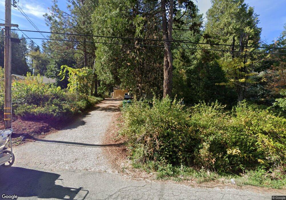
13724 Peardale Rd Grass Valley, CA 95945
Estimated Value: $274,000 - $426,000
2
Beds
2
Baths
1,117
Sq Ft
$326/Sq Ft
Est. Value
About This Home
This home is located at 13724 Peardale Rd, Grass Valley, CA 95945 and is currently estimated at $364,262, approximately $326 per square foot. 13724 Peardale Rd is a home located in Nevada County with nearby schools including Bell Hill Academy, Margaret G. Scotten Elementary School, and Lyman Gilmore Middle School.
Ownership History
Date
Name
Owned For
Owner Type
Purchase Details
Closed on
Apr 19, 2005
Sold by
Aleo Harry and Aleo Terry Anne
Bought by
Aleo Terry Anne
Current Estimated Value
Purchase Details
Closed on
Sep 7, 2004
Sold by
Aleo Terry Anne
Bought by
Aleo Harry and Aleo Terry Anne
Purchase Details
Closed on
Oct 29, 2003
Sold by
Aleo Carole Christine and Helen M Aleo 1997 Revocable Li
Bought by
Aleo Terry Anne
Purchase Details
Closed on
Nov 5, 1997
Sold by
Aleo Helen M
Bought by
Aleo Carole Christine and Helen M Aleo 1997 Revocable Li
Create a Home Valuation Report for This Property
The Home Valuation Report is an in-depth analysis detailing your home's value as well as a comparison with similar homes in the area
Home Values in the Area
Average Home Value in this Area
Purchase History
| Date | Buyer | Sale Price | Title Company |
|---|---|---|---|
| Aleo Terry Anne | -- | -- | |
| Aleo Harry | -- | Fidelity National Title Co | |
| Aleo Terry Anne | -- | -- | |
| Aleo Carole Christine | -- | -- |
Source: Public Records
Tax History Compared to Growth
Tax History
| Year | Tax Paid | Tax Assessment Tax Assessment Total Assessment is a certain percentage of the fair market value that is determined by local assessors to be the total taxable value of land and additions on the property. | Land | Improvement |
|---|---|---|---|---|
| 2025 | $2,169 | $182,388 | $66,763 | $115,625 |
| 2024 | $2,123 | $178,812 | $65,454 | $113,358 |
| 2023 | $2,123 | $175,307 | $64,171 | $111,136 |
| 2022 | $1,870 | $171,870 | $62,913 | $108,957 |
| 2021 | $1,814 | $168,501 | $61,680 | $106,821 |
| 2020 | $1,813 | $166,774 | $61,048 | $105,726 |
| 2019 | $1,739 | $163,504 | $59,851 | $103,653 |
| 2018 | $1,731 | $160,299 | $58,678 | $101,621 |
| 2017 | $1,664 | $157,157 | $57,528 | $99,629 |
| 2016 | $1,604 | $154,076 | $56,400 | $97,676 |
| 2015 | $1,582 | $151,762 | $55,553 | $96,209 |
| 2014 | $1,558 | $148,790 | $54,465 | $94,325 |
Source: Public Records
Map
Nearby Homes
- 13524 Peardale Rd
- 13859 Peardale Ln
- 14002 Meadow View Dr
- 14115 Tahoe View Dr
- 16303 Jewett Ln
- 14173 Tahoe View Dr
- 13139 N Meadow View Dr
- 13011 Admiral Ln
- 12618 High Sierra Way
- 14833 Quail Pointe Ln
- 13383 Bass Trail
- 13709 Capitol Dr
- 14629 Rollins Park Dr
- 14008 Sontag Hill Rd
- 13576 Lower Colfax Rd
- 12914 Lost Lake Rd
- 13036 Capitol Dr
- 14652 Carman Ct
- 12595 Blackberry Trail
- 12765 Rodriguez Ct
