13725 Bowman Rd Auburn, CA 95603
Northeast Auburn NeighborhoodEstimated Value: $495,000 - $534,196
4
Beds
2
Baths
1,008
Sq Ft
$511/Sq Ft
Est. Value
About This Home
This home is located at 13725 Bowman Rd, Auburn, CA 95603 and is currently estimated at $515,049, approximately $510 per square foot. 13725 Bowman Rd is a home located in Placer County with nearby schools including Placer High School, Bowman Charter School, and Alta Vista Community Charter.
Ownership History
Date
Name
Owned For
Owner Type
Purchase Details
Closed on
May 13, 2019
Sold by
Smits Michael
Bought by
Williams John L
Current Estimated Value
Purchase Details
Closed on
May 10, 2019
Sold by
Williams Rachel
Bought by
Williams John L
Purchase Details
Closed on
Mar 12, 2013
Sold by
Hamilton Gordon Baker and Hamilton Shirlene
Bought by
Hamilton Gordon B and Hamilton Shirlene
Purchase Details
Closed on
Apr 6, 2012
Sold by
Hamilton Gordon and Hamilton Shirlene
Bought by
Hamilton Gordon and Hamilton Shirlene
Home Financials for this Owner
Home Financials are based on the most recent Mortgage that was taken out on this home.
Original Mortgage
$90,000
Interest Rate
4.05%
Mortgage Type
New Conventional
Purchase Details
Closed on
Feb 7, 2003
Sold by
Hamilton Gordon Baker and Hamilton Shirlene
Bought by
Hamilton Gordon Baker and Hamilton Shirlene
Home Financials for this Owner
Home Financials are based on the most recent Mortgage that was taken out on this home.
Original Mortgage
$100,100
Interest Rate
5.76%
Mortgage Type
Purchase Money Mortgage
Purchase Details
Closed on
Oct 16, 2001
Sold by
Hamilton Gordon Baker and Hamilton Shirlene
Bought by
Hamilton Gordon Baker and Hamilton Shirlene
Home Financials for this Owner
Home Financials are based on the most recent Mortgage that was taken out on this home.
Original Mortgage
$50,000
Interest Rate
6.88%
Mortgage Type
Purchase Money Mortgage
Purchase Details
Closed on
Aug 8, 1996
Sold by
Hamilton Gordon B and Hamilton Shirlene
Bought by
Hamilton Gordon Baker and Hamilton Shirlene
Purchase Details
Closed on
May 18, 1994
Sold by
Hamilton Gordon B
Bought by
Hamilton Gordon B and Hamilton Shirlene
Home Financials for this Owner
Home Financials are based on the most recent Mortgage that was taken out on this home.
Original Mortgage
$50,000
Interest Rate
8.3%
Mortgage Type
Purchase Money Mortgage
Create a Home Valuation Report for This Property
The Home Valuation Report is an in-depth analysis detailing your home's value as well as a comparison with similar homes in the area
Home Values in the Area
Average Home Value in this Area
Purchase History
| Date | Buyer | Sale Price | Title Company |
|---|---|---|---|
| Williams John L | $360,000 | Placer Title Company | |
| Williams John L | -- | Placer Title Company | |
| Hamilton Gordon B | -- | None Available | |
| Hamilton Gordon | -- | First American Equity Loan S | |
| Hamilton Gordon Baker | -- | -- | |
| Hamilton Gordon Baker | -- | Fidelity Title | |
| Hamilton Gordon Baker | -- | First American Title Ins Co | |
| Hamilton Gordon Baker | -- | First American Title Ins Co | |
| Hamilton Gordon Baker | -- | -- | |
| Hamilton Gordon B | -- | Fidelity National Title |
Source: Public Records
Mortgage History
| Date | Status | Borrower | Loan Amount |
|---|---|---|---|
| Previous Owner | Hamilton Gordon | $90,000 | |
| Previous Owner | Hamilton Gordon Baker | $100,100 | |
| Previous Owner | Hamilton Gordon Baker | $50,000 | |
| Previous Owner | Hamilton Gordon B | $50,000 | |
| Closed | Hamilton Gordon Baker | $25,000 |
Source: Public Records
Tax History Compared to Growth
Tax History
| Year | Tax Paid | Tax Assessment Tax Assessment Total Assessment is a certain percentage of the fair market value that is determined by local assessors to be the total taxable value of land and additions on the property. | Land | Improvement |
|---|---|---|---|---|
| 2025 | $4,161 | $401,584 | $200,792 | $200,792 |
| 2023 | $4,161 | $385,992 | $192,996 | $192,996 |
| 2022 | $4,097 | $378,424 | $189,212 | $189,212 |
| 2021 | $3,950 | $371,004 | $185,502 | $185,502 |
| 2020 | $3,845 | $359,856 | $179,900 | $179,956 |
| 2019 | $829 | $75,281 | $18,207 | $57,074 |
| 2018 | $713 | $73,805 | $17,850 | $55,955 |
| 2017 | $699 | $72,358 | $17,500 | $54,858 |
| 2016 | $682 | $70,940 | $17,157 | $53,783 |
| 2015 | $665 | $69,876 | $16,900 | $52,976 |
| 2014 | $653 | $68,508 | $16,569 | $51,939 |
Source: Public Records
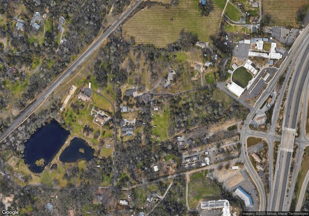
Map
Nearby Homes
- 371 Channel Hill Rd
- 190 Daniels Dr
- 0 Old Airport Rd Unit 225114571
- 0 Richards Ln Unit 225114570
- 1001 Old Airport Rd
- 15 Sierra Mesa Ct
- 1130 Summer Ridge Ct
- 1045 Fox Run Ct
- 1333 Wesley Ln
- 1511 Radcliffe Way
- 12439 Homestead Way
- 225 Flood Rd
- 12411 Homestead Way
- 12318 Pepperwood Cir Unit 228
- 12300 Pepperwood Cir
- 12366 Pepperwood Cir Unit 182
- 12102 Hemlock Dr
- 12280 Westwood Dr
- 374 Kevin Ct
- 1732 Tracy Ln
- 13737 Bowman Rd
- 13735 Bowman Rd
- 13741 Bowman Rd
- 13739 Bowman Rd
- 13711 Bowman Rd
- 13743 Bowman Rd
- 420 Mill Pond Rd
- 310 Mill Pond Rd
- 13745 Bowman Rd
- 340 Mill Pond Rd
- 400 Mill Pond Rd
- 13675 Bowman Rd
- 277 Channel Hill Rd
- 13551 Bowman Rd
- 13651 Bowman Rd
- 351 Mill Pond Rd
- 421 Mill Pond Rd
- 269 Channel Hill Ln
- 269 Channel Hill Ln
- 13650 Bowman Rd