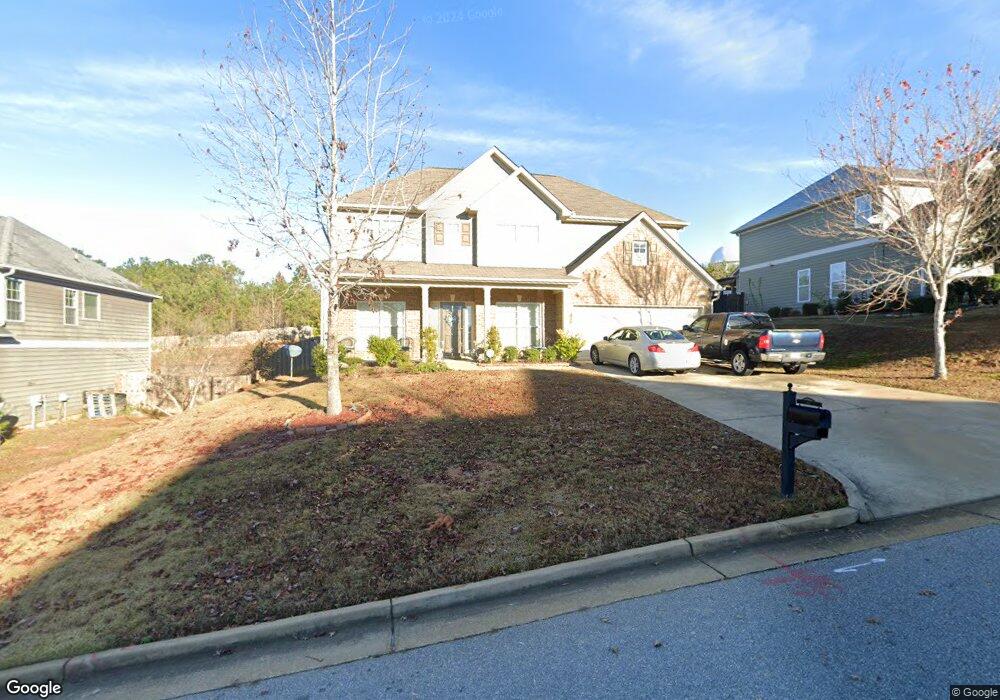
1373 Antietam Dr Columbus, GA 31907
Eastern Columbus NeighborhoodEstimated Value: $273,000 - $301,000
4
Beds
3
Baths
2,794
Sq Ft
$104/Sq Ft
Est. Value
About This Home
This home is located at 1373 Antietam Dr, Columbus, GA 31907 and is currently estimated at $291,278, approximately $104 per square foot. 1373 Antietam Dr is a home with nearby schools including St. Mary's Road Magnet Academy, East Columbus Magnet Academy, and Spencer High School.
Ownership History
Date
Name
Owned For
Owner Type
Purchase Details
Closed on
Jun 30, 2011
Sold by
Grayhawk Homes Inc
Bought by
Evans Jesse and Evans Mary
Current Estimated Value
Home Financials for this Owner
Home Financials are based on the most recent Mortgage that was taken out on this home.
Original Mortgage
$175,437
Outstanding Balance
$122,726
Interest Rate
4.87%
Mortgage Type
FHA
Estimated Equity
$168,552
Create a Home Valuation Report for This Property
The Home Valuation Report is an in-depth analysis detailing your home's value as well as a comparison with similar homes in the area
Home Values in the Area
Average Home Value in this Area
Purchase History
| Date | Buyer | Sale Price | Title Company |
|---|---|---|---|
| Evans Jesse | $180,000 | -- | |
| Grayhawk Homes Inc | -- | -- |
Source: Public Records
Mortgage History
| Date | Status | Borrower | Loan Amount |
|---|---|---|---|
| Open | Evans Jesse | $175,437 |
Source: Public Records
Tax History Compared to Growth
Tax History
| Year | Tax Paid | Tax Assessment Tax Assessment Total Assessment is a certain percentage of the fair market value that is determined by local assessors to be the total taxable value of land and additions on the property. | Land | Improvement |
|---|---|---|---|---|
| 2025 | $252 | $94,828 | $14,252 | $80,576 |
| 2024 | $2,515 | $94,828 | $14,252 | $80,576 |
| 2023 | $1,837 | $94,828 | $14,252 | $80,576 |
| 2022 | $2,623 | $78,684 | $14,252 | $64,432 |
| 2021 | $2,617 | $77,472 | $14,252 | $63,220 |
| 2020 | $2,617 | $77,472 | $14,252 | $63,220 |
| 2019 | $2,627 | $77,472 | $14,252 | $63,220 |
| 2018 | $3,174 | $77,472 | $14,252 | $63,220 |
| 2017 | $3,184 | $77,472 | $14,252 | $63,220 |
| 2016 | $2,970 | $72,000 | $13,600 | $58,400 |
| 2015 | $2,974 | $72,000 | $13,600 | $58,400 |
| 2014 | $2,977 | $72,000 | $13,600 | $58,400 |
| 2013 | -- | $72,000 | $13,600 | $58,400 |
Source: Public Records
Map
Nearby Homes
- 5116 Magazine Ln
- 1210 Bunker Hill Rd
- 5219 Argonne Dr
- 5109 Lexington Ln
- 1238 Brandywine Dr
- 5090 Lexington Ln
- 1025 Belmar St
- 1225 Rowell St
- 5310 Stoney Point Rd
- 5336 Gettysburg Way
- 849 Bunker Hill Rd
- 4939 Aaron Dr
- 1513 Alamo Dr
- 4718 Velpoe Dr
- 1425 Staunton Dr
- 811 Pheasant Loop
- 1340 Bunker Ridge Ln
- 4462 Walking Stick Way
- 780 Honey Do Ct
- 4408 Walking Stick Way
- 1379 Antietam Dr
- 1367 Antietam Dr
- 1368 Antietam Dr
- 1385 Antietam Dr
- 1361 Antietam Dr
- 1380 Antietam Dr
- 1362 Antietam Dr
- 1391 Antietam Dr
- 1356 Antietam Dr
- 1355 Antietam Dr
- 1350 Antietam Dr
- 1394 Antietam Dr
- 1397 Antietam Dr
- 1101 Antietam Ct
- 1105 Antietam Ct
- 1344 Antietam Dr
- 1097 Antietam Ct
- 1400 Antietam Dr
- 1403 Antietam Dr
- 1109 Antietam Ct