1373 Atkinson Bridge Rd Carnesville, GA 30521
Estimated Value: $132,236 - $283,000
2
Beds
1
Bath
1,248
Sq Ft
$166/Sq Ft
Est. Value
About This Home
This home is located at 1373 Atkinson Bridge Rd, Carnesville, GA 30521 and is currently estimated at $207,559, approximately $166 per square foot. 1373 Atkinson Bridge Rd is a home located in Franklin County with nearby schools including Franklin County High School.
Ownership History
Date
Name
Owned For
Owner Type
Purchase Details
Closed on
Jan 12, 2021
Sold by
King Christopher John
Bought by
King Christopher John and King Sara Elizabeth
Current Estimated Value
Purchase Details
Closed on
Mar 23, 2007
Sold by
Henson Debra F
Bought by
King Cecil
Purchase Details
Closed on
Mar 16, 2007
Sold by
Cooper Guy M
Bought by
Henson Debra
Purchase Details
Closed on
Jun 8, 2006
Sold by
Fricks Lester
Bought by
Henson Debra F
Purchase Details
Closed on
Sep 29, 1997
Bought by
Fricks Lester and Fricks Bett
Create a Home Valuation Report for This Property
The Home Valuation Report is an in-depth analysis detailing your home's value as well as a comparison with similar homes in the area
Purchase History
| Date | Buyer | Sale Price | Title Company |
|---|---|---|---|
| King Christopher John | -- | -- | |
| King Christopher John | -- | -- | |
| King Cecil John | -- | -- | |
| King Cecil | $20,000 | -- | |
| Henson Debra | -- | -- | |
| Henson Debra F | $23,000 | -- | |
| Fricks Lester | $9,000 | -- |
Source: Public Records
Tax History
| Year | Tax Paid | Tax Assessment Tax Assessment Total Assessment is a certain percentage of the fair market value that is determined by local assessors to be the total taxable value of land and additions on the property. | Land | Improvement |
|---|---|---|---|---|
| 2025 | $749 | $32,434 | $6,836 | $25,598 |
| 2024 | $663 | $27,850 | $2,734 | $25,116 |
| 2023 | $658 | $25,510 | $2,486 | $23,024 |
| 2022 | $594 | $23,036 | $1,926 | $21,110 |
| 2021 | $45 | $21,621 | $1,926 | $19,695 |
| 2020 | $256 | $19,213 | $1,926 | $17,287 |
| 2019 | $247 | $19,213 | $1,926 | $17,287 |
| 2018 | $198 | $17,358 | $2,120 | $15,238 |
| 2017 | $206 | $17,358 | $2,120 | $15,238 |
| 2016 | $185 | $16,344 | $2,120 | $14,224 |
| 2015 | -- | $14,298 | $2,120 | $12,179 |
| 2014 | -- | $9,312 | $2,120 | $7,192 |
| 2013 | -- | $9,560 | $2,120 | $7,440 |
Source: Public Records
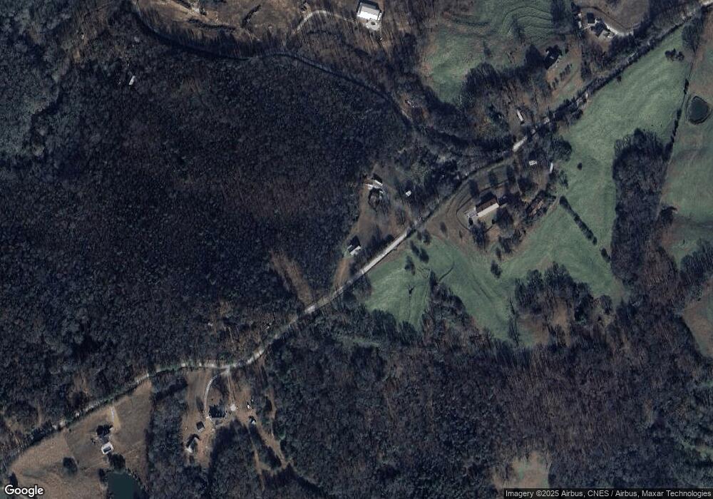
Map
Nearby Homes
- 5177 Sandy Cross Rd
- 0 Noah Crow Rd Unit 10692629
- 2985 Jackson Bridge Rd
- 1898 Sandy Cross Rd
- 597 Meadow Brook Ln
- 1291 Brays Lake Rd
- 555 Hubbard Rd
- 365 Carroll Church Rd
- 1350 Noah Crow Rd
- 0 New Franklin Church Rd
- 6.98 ACRES New Franklin Church Rd
- 6602 New Franklin Church Rd
- 2556 Turkey Creek Rd
- 138 Airport Rd Unit 14
- 174 Airport Rd Unit 12
- 206 Airport Rd Unit 11
- 154 Airport Rd Unit 13
- 4308 Athens Rd
- 0 Turkey Creek Rd Unit 10671197
- 0 Turkey Creek Rd Unit 7709794
- 1487 Atkinson Bridge Rd
- 1301 Atkinson Bridge Rd
- 1540 Atkinson Bridge Rd
- 1224 Atkinson Bridge Rd
- 0 Dollie Phillips Rd L1
- O Atkinson Bridge Rd
- 0 Dollie Phillips Rd L2
- 0 Atkinson Bridge Rd Unit 8312478
- 0 Atkinson Bridge Rd Unit 8800427
- 0 Atkinson Bridge Rd Unit 6734804
- 0 Atkinson Bridge Rd Unit 8660929
- 0 Dollie Phillips Rd Unit 8312481
- 0 Dollie Phillips Rd Unit 8306483
- 0 Dollie Phillips Rd Unit 8312474
- 0 Dollie Phillips Rd Unit 8306478
- 0 Dollie Phillips Rd Unit 3 8252962
- 0 Dollie Phillips Rd Unit 4 8252986
- 0 Dollie Phillips Rd Unit 2 8252939
- 0 Dollie Phillips Rd Unit 1 8252347
- 0 Dollie Phillips Rd Unit 4 8250055
Your Personal Tour Guide
Ask me questions while you tour the home.