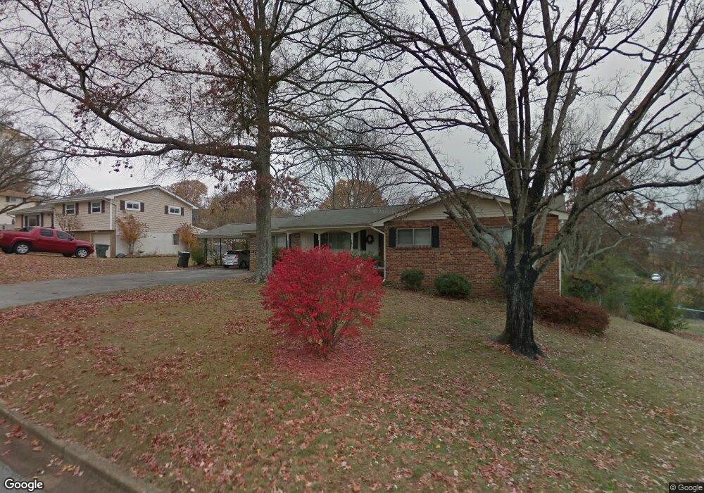
1373 Orbit Dr Hixson, TN 37343
Dupont NeighborhoodEstimated Value: $300,000 - $313,259
3
Beds
2
Baths
1,600
Sq Ft
$192/Sq Ft
Est. Value
About This Home
This home is located at 1373 Orbit Dr, Hixson, TN 37343 and is currently estimated at $306,565, approximately $191 per square foot. 1373 Orbit Dr is a home located in Hamilton County with nearby schools including DuPont Elementary School, St Jude School, and St. Peter's Episcopal School.
Ownership History
Date
Name
Owned For
Owner Type
Purchase Details
Closed on
Oct 3, 2025
Sold by
Pickett Paul Dustin
Bought by
Givens Robert and Givens Rhonda
Current Estimated Value
Home Financials for this Owner
Home Financials are based on the most recent Mortgage that was taken out on this home.
Original Mortgage
$191,500
Outstanding Balance
$191,500
Interest Rate
6.58%
Mortgage Type
New Conventional
Estimated Equity
$115,065
Purchase Details
Closed on
Jan 5, 2024
Sold by
Holtcamp Nadine
Bought by
Holtcamp Nadine and Pickett Paul Clifton
Create a Home Valuation Report for This Property
The Home Valuation Report is an in-depth analysis detailing your home's value as well as a comparison with similar homes in the area
Home Values in the Area
Average Home Value in this Area
Purchase History
| Date | Buyer | Sale Price | Title Company |
|---|---|---|---|
| Givens Robert | $260,000 | Realty Center Title | |
| Holtcamp Nadine | -- | Title Guaranty & Trust |
Source: Public Records
Mortgage History
| Date | Status | Borrower | Loan Amount |
|---|---|---|---|
| Open | Givens Robert | $191,500 |
Source: Public Records
Tax History Compared to Growth
Tax History
| Year | Tax Paid | Tax Assessment Tax Assessment Total Assessment is a certain percentage of the fair market value that is determined by local assessors to be the total taxable value of land and additions on the property. | Land | Improvement |
|---|---|---|---|---|
| 2024 | $954 | $42,625 | $0 | $0 |
| 2023 | $954 | $42,625 | $0 | $0 |
| 2022 | $954 | $42,625 | $0 | $0 |
| 2021 | $954 | $42,625 | $0 | $0 |
| 2020 | $986 | $35,675 | $0 | $0 |
| 2019 | $986 | $35,675 | $0 | $0 |
| 2018 | $939 | $35,675 | $0 | $0 |
| 2017 | $986 | $35,675 | $0 | $0 |
| 2016 | $837 | $0 | $0 | $0 |
| 2015 | $1,651 | $30,275 | $0 | $0 |
| 2014 | $1,651 | $0 | $0 | $0 |
Source: Public Records
Map
Nearby Homes
- 4706 Eldridge Rd
- 410 Bardwood Ln
- 1328 Michael Ln
- 1313 Michael Ln
- 1329 Highland Way
- 4609 Plaza Hills Ln
- 810 Forest Dale Ln
- 1237 Cranbrook Dr
- 955 Brynwood Dr
- 4607 Cloverdale Loop
- 4810 Delashmitt Rd
- 1325 Highland Rd
- 4529 Sherry Ln
- 507 Heidi Cir
- 1328 Highland Rd
- 1004 Brynehill Ln
- 961 Ashland Terrace
- 1638 Green Hill Dr
- 1716 Strawberry Ln
- 3609 Forest Highland Dr