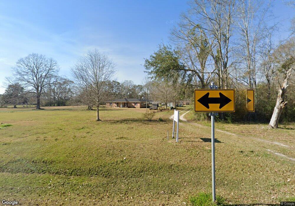
13733 Highway 613 Moss Point, MS 39562
Estimated Value: $157,150 - $242,000
--
Bed
2
Baths
1,316
Sq Ft
$154/Sq Ft
Est. Value
About This Home
This home is located at 13733 Highway 613, Moss Point, MS 39562 and is currently estimated at $203,038, approximately $154 per square foot. 13733 Highway 613 is a home located in Jackson County with nearby schools including East Central Lower Elementary School, East Central Upper Elementary School, and East Central Middle School.
Ownership History
Date
Name
Owned For
Owner Type
Purchase Details
Closed on
Sep 21, 2012
Sold by
Ely R Mitchell and Ely Deborah L
Bought by
Ely Ray M and Ely Deborah L
Current Estimated Value
Home Financials for this Owner
Home Financials are based on the most recent Mortgage that was taken out on this home.
Original Mortgage
$108,109
Interest Rate
3.25%
Mortgage Type
FHA
Create a Home Valuation Report for This Property
The Home Valuation Report is an in-depth analysis detailing your home's value as well as a comparison with similar homes in the area
Home Values in the Area
Average Home Value in this Area
Purchase History
| Date | Buyer | Sale Price | Title Company |
|---|---|---|---|
| Ely Ray M | -- | -- |
Source: Public Records
Mortgage History
| Date | Status | Borrower | Loan Amount |
|---|---|---|---|
| Closed | Ely Ray M | $108,109 |
Source: Public Records
Tax History Compared to Growth
Tax History
| Year | Tax Paid | Tax Assessment Tax Assessment Total Assessment is a certain percentage of the fair market value that is determined by local assessors to be the total taxable value of land and additions on the property. | Land | Improvement |
|---|---|---|---|---|
| 2024 | -- | $7,786 | $879 | $6,907 |
| 2023 | $0 | $7,786 | $879 | $6,907 |
| 2022 | $0 | $7,421 | $0 | $0 |
| 2021 | $0 | $7,421 | $7,421 | $0 |
| 2020 | $0 | $7,421 | $799 | $6,622 |
| 2019 | $0 | $7,421 | $799 | $6,622 |
| 2018 | $0 | $7,421 | $799 | $6,622 |
| 2017 | $0 | $7,421 | $799 | $6,622 |
| 2016 | $0 | $7,421 | $799 | $6,622 |
| 2015 | -- | $69,060 | $7,990 | $61,070 |
| 2014 | -- | $7,139 | $799 | $6,340 |
| 2013 | -- | $7,139 | $799 | $6,340 |
Source: Public Records
Map
Nearby Homes
- 13524 Highway 613
- 13109 Oak Haven Dr
- 0 Ms-613 Hwy Unit 4116583
- 0 Ms-613 Hwy Unit 4107607
- 0 Ms-613 Hwy Unit 4107612
- 0 Ms-613 Hwy Unit 4116582
- 8537 Augusta Rd
- 14505 Wolf Ridge Rd
- 13875 Wolf Ridge Rd Unit LotWP001
- 13875 Wolf Ridge Rd
- 0 Dunn Unit 4117818
- 14416 Lily Orchard Rd
- 3721 Charlie Hudson Rd
- 7605 Methodist Church Rd
- 6112 Hans Rd
- 0 R B Dickerson Rd
- 6301 Pioneer Trail
- 10413 Charpentier Dr
- 0 Big Point Unit 4125782
- 27 Acres Brinkman Rd E
- 13737 Highway 613
- 13809 Highway 613
- 14005 Highway 613 Unit DRO
- 13805 Highway 613
- 13901 Highway 613
- 13723 Highway 613
- 14009 Highway 613
- 13832 Highway 613
- 13912 Highway 613
- 13732 Highway 613
- 13800 Saracennia Rd
- 13724 Highway 613
- 13620 Saracennia Rd
- 13612 Saracennia Rd
- 13912 Pinedale St
- 13904 Pinedale St
- 13824 Pinedale St
- 6201 Perry St
- 14023 Big Bend Rd
- 14023 Big Bend Rd