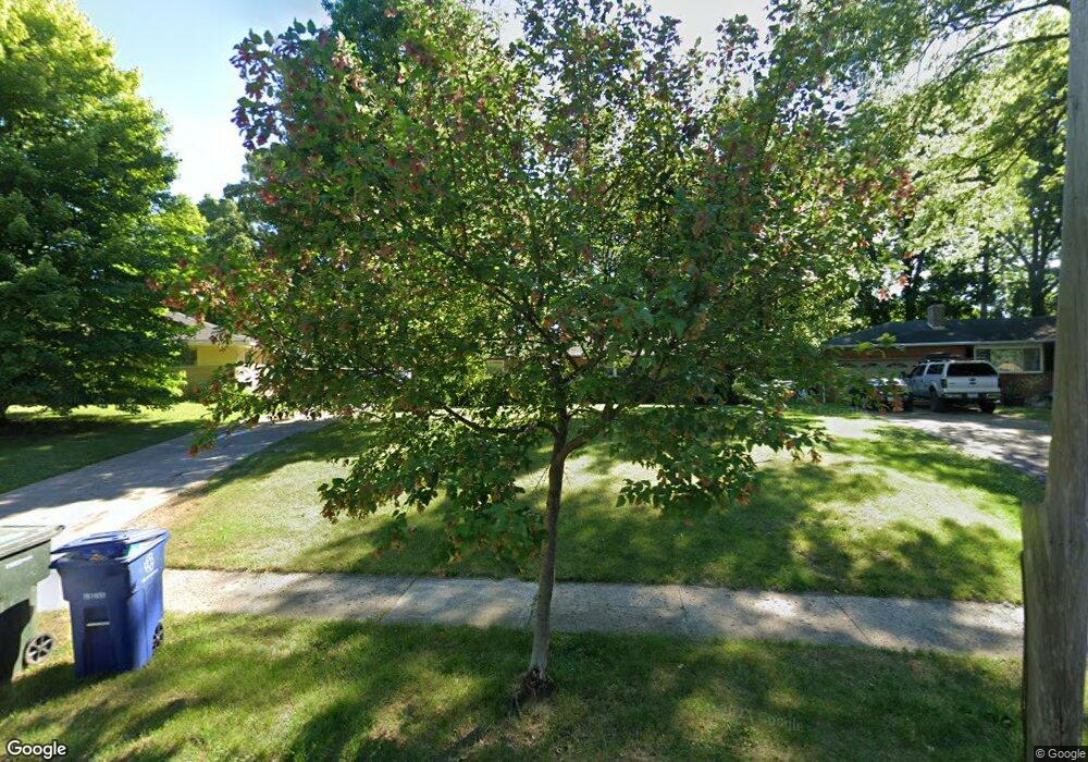
1376 Bryson Rd Columbus, OH 43224
Clinton Estates NeighborhoodEstimated Value: $286,000 - $322,000
4
Beds
3
Baths
1,698
Sq Ft
$183/Sq Ft
Est. Value
About This Home
This home is located at 1376 Bryson Rd, Columbus, OH 43224 and is currently estimated at $310,972, approximately $183 per square foot. 1376 Bryson Rd is a home located in Franklin County with nearby schools including Maize Road Elementary School, Medina Middle School, and Mifflin High School.
Ownership History
Date
Name
Owned For
Owner Type
Purchase Details
Closed on
Nov 13, 2014
Sold by
Klopfer Mark E and Klopfer Aunda M
Bought by
Klopfer Aunda M
Current Estimated Value
Home Financials for this Owner
Home Financials are based on the most recent Mortgage that was taken out on this home.
Original Mortgage
$84,000
Interest Rate
4.1%
Mortgage Type
New Conventional
Purchase Details
Closed on
Aug 15, 2003
Sold by
Rector Theodore G and Rector Della June
Bought by
Klopfer Mark E and Klopfer Aunda M
Home Financials for this Owner
Home Financials are based on the most recent Mortgage that was taken out on this home.
Original Mortgage
$98,400
Interest Rate
5.69%
Mortgage Type
Purchase Money Mortgage
Create a Home Valuation Report for This Property
The Home Valuation Report is an in-depth analysis detailing your home's value as well as a comparison with similar homes in the area
Home Values in the Area
Average Home Value in this Area
Purchase History
| Date | Buyer | Sale Price | Title Company |
|---|---|---|---|
| Klopfer Aunda M | -- | Northwest Title Family Of C | |
| Klopfer Mark E | $123,000 | Real Living Title |
Source: Public Records
Mortgage History
| Date | Status | Borrower | Loan Amount |
|---|---|---|---|
| Closed | Klopfer Aunda M | $84,000 | |
| Closed | Klopfer Mark E | $98,400 |
Source: Public Records
Tax History Compared to Growth
Tax History
| Year | Tax Paid | Tax Assessment Tax Assessment Total Assessment is a certain percentage of the fair market value that is determined by local assessors to be the total taxable value of land and additions on the property. | Land | Improvement |
|---|---|---|---|---|
| 2024 | $4,026 | $87,850 | $22,890 | $64,960 |
| 2023 | $4,014 | $87,850 | $22,890 | $64,960 |
| 2022 | $2,783 | $52,370 | $10,050 | $42,320 |
| 2021 | $2,788 | $52,370 | $10,050 | $42,320 |
| 2020 | $2,792 | $52,370 | $10,050 | $42,320 |
| 2019 | $2,572 | $41,370 | $8,050 | $33,320 |
| 2018 | $2,625 | $41,370 | $8,050 | $33,320 |
| 2017 | $2,572 | $41,370 | $8,050 | $33,320 |
| 2016 | $2,946 | $43,370 | $7,070 | $36,300 |
| 2015 | $2,683 | $43,370 | $7,070 | $36,300 |
| 2014 | $2,689 | $43,370 | $7,070 | $36,300 |
| 2013 | $1,397 | $45,675 | $7,455 | $38,220 |
Source: Public Records
Map
Nearby Homes
- 4119 Karl Rd Unit 108
- 4143 Karl Rd Unit 314
- 4145 Karl Rd Unit 223
- 1191 Bryson Rd
- 3967 Karl Rd Unit 125
- 3965 Karl Rd Unit 208
- 3941 Karl Rd Unit 326
- 4455 Kenfield Rd
- 3939 Karl Rd Unit 108
- 1130 Carbone Dr
- 4057 Estates Place
- 1440 E Cooke Rd
- 1064 Hillsdale Dr
- 4441 Wetmore Rd E
- 1266 Pershing Dr
- 1496 E Cooke Rd
- 1734 Ferris Rd
- 1071 Loring Rd
- 995 Overbrook Service Dr
- 1382 Elmore Ave
- 0 Bryson Rd
- 1380 Bryson Rd
- 1372 Bryson Rd
- 1405 Evaline Dr
- 1382 Bryson Rd
- 1366 Bryson Rd
- 1399 Evaline Dr
- 1413 Evaline Dr
- 1371 Bryson Rd
- 1391 Evaline Dr
- 1365 Bryson Rd
- 1384 Bryson Rd
- 1362 Bryson Rd
- 1419 Evaline Dr
- 1381 Evaline Dr
- 1373 Bryson Rd
- 1386 Bryson Rd
- 1429 Evaline Dr
- 1373 Evaline Dr
- 1347 Frisbee Dr