13761 E County Line Rd Longmont, CO 80504
Estimated Value: $1,453,000 - $1,732,369
7
Beds
3
Baths
3,996
Sq Ft
$404/Sq Ft
Est. Value
About This Home
This home is located at 13761 E County Line Rd, Longmont, CO 80504 and is currently estimated at $1,612,842, approximately $403 per square foot. 13761 E County Line Rd is a home located in Boulder County with nearby schools including Mead Elementary School, Mead Middle School, and Mead High School.
Ownership History
Date
Name
Owned For
Owner Type
Purchase Details
Closed on
Aug 21, 2012
Sold by
Teebken Jennifer L
Bought by
Teebken Jeffry Richard
Current Estimated Value
Purchase Details
Closed on
Aug 22, 2008
Sold by
Gillespie Robert W and Gillespie Patricia W
Bought by
Teebken Jennifer L
Purchase Details
Closed on
Aug 19, 1997
Sold by
Teebken Jeffry Richard
Bought by
Teebken Jennifer L
Purchase Details
Closed on
May 12, 1995
Sold by
Defalco Robert P and Defalco Marianne L
Bought by
Teebken Jennifer L
Home Financials for this Owner
Home Financials are based on the most recent Mortgage that was taken out on this home.
Original Mortgage
$323,000
Interest Rate
6.37%
Create a Home Valuation Report for This Property
The Home Valuation Report is an in-depth analysis detailing your home's value as well as a comparison with similar homes in the area
Home Values in the Area
Average Home Value in this Area
Purchase History
| Date | Buyer | Sale Price | Title Company |
|---|---|---|---|
| Teebken Jeffry Richard | -- | None Available | |
| Teebken Jennifer L | $60,000 | Land Title Guarantee Company | |
| Teebken Jennifer L | -- | -- | |
| Teebken Jennifer L | $340,000 | First American Heritage Titl |
Source: Public Records
Mortgage History
| Date | Status | Borrower | Loan Amount |
|---|---|---|---|
| Previous Owner | Teebken Jennifer L | $323,000 |
Source: Public Records
Tax History Compared to Growth
Tax History
| Year | Tax Paid | Tax Assessment Tax Assessment Total Assessment is a certain percentage of the fair market value that is determined by local assessors to be the total taxable value of land and additions on the property. | Land | Improvement |
|---|---|---|---|---|
| 2025 | $9,785 | $100,200 | $26,431 | $73,769 |
| 2024 | $9,785 | $100,200 | $26,431 | $73,769 |
| 2023 | $10,307 | $105,719 | $16,851 | $92,554 |
| 2022 | $7,558 | $73,935 | $15,499 | $58,436 |
| 2021 | $7,659 | $76,062 | $15,945 | $60,117 |
| 2020 | $6,360 | $63,292 | $18,018 | $45,274 |
| 2019 | $6,260 | $63,292 | $18,018 | $45,274 |
| 2018 | $6,028 | $61,323 | $18,360 | $42,963 |
| 2017 | $5,673 | $67,796 | $20,298 | $47,498 |
| 2016 | $5,600 | $59,302 | $22,686 | $36,616 |
| 2015 | $5,333 | $48,333 | $18,865 | $29,468 |
| 2014 | $4,464 | $48,333 | $18,865 | $29,468 |
Source: Public Records
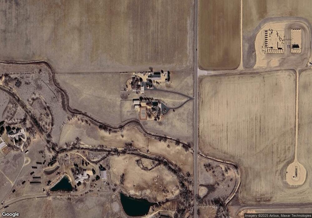
Map
Nearby Homes
- 12625 Vermillion Rd
- 15261 Ypsilon Cir
- 2464 Tyrrhenian Cir
- 2474 Ravenswood Ct
- 1444 Coral Place
- 1440 Coral Place
- 1446 Coral Place
- 1442 Coral Place
- Biscayne Plan at Spring Valley
- Denali Plan at Spring Valley
- Acadia Plan at Spring Valley
- Congaree Plan at Spring Valley
- 2426 Spotswood St
- 2432 Tyrrhenian Dr
- 2435 Calais Dr Unit I
- 2435 Calais Dr Unit H
- 2435 Calais Dr Unit G
- 2435 Calais Dr Unit A
- 2435 Calais Dr Unit 20-E
- 2435 Calais Dr Unit B
- 13763 E County Line Rd
- 13504 Vermillion Trail
- 13625 E County Line Rd
- 15182 County Road 1
- 13542 Vermillion Trail
- 12590 Vermillion Rd
- 14986 County Road 1
- 12490 Vermillion Rd
- 13676 Vermillion Trail
- 13295 E County Line Rd
- 13185 E County Line Rd
- 14850 County Road 1
- 14231 E County Line Rd
- 13131 E County Line Rd
- 13225 E County Line Rd
- 16115 Summit Peaks Dr
- 16116 Summit Peaks Dr
- 16117 Summit Peaks Dr
- 14255 E County Line Rd
- 13175 E County Line Rd