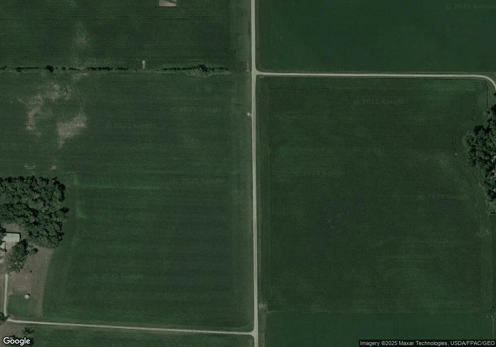
13767 Ranch Ave SE Hutchinson, MN 55350
Estimated Value: $1,331,123
--
Bed
--
Bath
865
Sq Ft
$1,539/Sq Ft
Est. Value
About This Home
This home is located at 13767 Ranch Ave SE, Hutchinson, MN 55350 and is currently estimated at $1,331,123, approximately $1,538 per square foot. 13767 Ranch Ave SE is a home located in McLeod County with nearby schools including Hutchinson West Elementary School, Hutchinson Park Elementary School, and Hutchinson Middle School.
Ownership History
Date
Name
Owned For
Owner Type
Purchase Details
Closed on
May 2, 2017
Sold by
Boll Patricia and Boll Delgene
Bought by
Kirchhoff Family Farm Partnership
Current Estimated Value
Purchase Details
Closed on
Jan 12, 2017
Sold by
Boll Patricia Patricia
Home Financials for this Owner
Home Financials are based on the most recent Mortgage that was taken out on this home.
Original Mortgage
$750,000
Interest Rate
4.08%
Purchase Details
Closed on
Jan 16, 2015
Sold by
Boll Patricia Patricia
Bought by
Dressel Daniel Daniel
Home Financials for this Owner
Home Financials are based on the most recent Mortgage that was taken out on this home.
Original Mortgage
$69,000
Interest Rate
3.66%
Purchase Details
Closed on
Apr 5, 2013
Sold by
Dressel Lugene
Bought by
Dressel Vernon W and Boll Patricia
Create a Home Valuation Report for This Property
The Home Valuation Report is an in-depth analysis detailing your home's value as well as a comparison with similar homes in the area
Home Values in the Area
Average Home Value in this Area
Purchase History
| Date | Buyer | Sale Price | Title Company |
|---|---|---|---|
| Kirchhoff Family Farm Partnership | -- | Crow River Title | |
| -- | $750,000 | -- | |
| Kirchhoff Family Farm Partnership | $750,000 | Crow River Title | |
| Dressel Daniel Daniel | $69,000 | -- | |
| Dressel Vernon W | -- | -- |
Source: Public Records
Mortgage History
| Date | Status | Borrower | Loan Amount |
|---|---|---|---|
| Previous Owner | -- | $750,000 | |
| Previous Owner | Dressel Daniel Daniel | $69,000 |
Source: Public Records
Tax History Compared to Growth
Tax History
| Year | Tax Paid | Tax Assessment Tax Assessment Total Assessment is a certain percentage of the fair market value that is determined by local assessors to be the total taxable value of land and additions on the property. | Land | Improvement |
|---|---|---|---|---|
| 2024 | $6,574 | $916,200 | $862,500 | $53,700 |
| 2023 | $5,377 | $750,600 | $699,300 | $51,300 |
| 2022 | $4,972 | $595,000 | $546,100 | $48,900 |
| 2021 | $5,214 | $528,900 | $481,200 | $47,700 |
| 2020 | $5,150 | $528,900 | $481,200 | $47,700 |
| 2019 | $4,608 | $511,100 | $469,300 | $41,800 |
| 2018 | $4,994 | $0 | $0 | $0 |
| 2017 | $5,686 | $0 | $0 | $0 |
| 2016 | $3,582 | $0 | $0 | $0 |
| 2015 | $3,172 | $0 | $0 | $0 |
| 2014 | -- | $0 | $0 | $0 |
Source: Public Records
Map
Nearby Homes
- 15092 Highway 15 S
- Lot 2 Tagus Ave
- 11742 Sunset Cir
- 11655 Sunset Cir
- 000 160th St
- 10877 Highway 15
- 19282 108th St
- 134 Eau Claire Ave SE
- 255 Eau Claire St SE
- 250 Eau Claire St SE
- 254 Eau Claire St SE
- XXX Airport Rd
- 197 Eau Claire Ave SE
- 400 Grant Ave SE
- 1332 Southfork Dr SE
- 1291 Denver Ave SE
- 173 Denver Ave SE
- 1281 Sunburst Way SE
- 405 Kottke Ct SE
- 223 Summerset Ln SE
- 13767 Ranch Ave SE
- 13423 Ranch Ave SE
- 13423 Ranch Ave SE
- 13423 Ranch Ave SE
- 14262 Highway 15 S
- 13998 Ranch Ave SE
- 13674 Highway 15 S
- 18718 130th St
- 18353 145th St
- 18353 145th St
- 18809 145th St
- 18809 145th St
- 18234 130th St
- 13769 Highway 15 S
- 13769 Highway 15 S
- 13769 Highway 15 S
- 13769 Highway 15 S
- 17739 145th St
- 18061 130th St
- 17858 130th St
