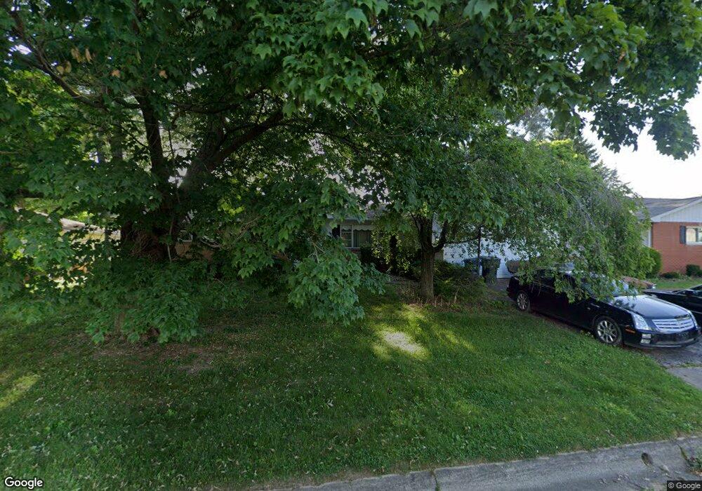
1377 Devonhurst Dr Columbus, OH 43232
Shady Lane NeighborhoodEstimated Value: $234,000 - $282,000
3
Beds
3
Baths
1,600
Sq Ft
$159/Sq Ft
Est. Value
About This Home
This home is located at 1377 Devonhurst Dr, Columbus, OH 43232 and is currently estimated at $254,944, approximately $159 per square foot. 1377 Devonhurst Dr is a home located in Franklin County with nearby schools including Woodcrest Elementary School, Sherwood Middle School, and Walnut Ridge High School.
Ownership History
Date
Name
Owned For
Owner Type
Purchase Details
Closed on
May 25, 2021
Sold by
Weber Barry L and Barry L Weber Revocable Living
Bought by
Weber Barry L and Weber Mark
Current Estimated Value
Purchase Details
Closed on
Sep 4, 1996
Sold by
Weber Andrew J
Bought by
Barry L Weber
Create a Home Valuation Report for This Property
The Home Valuation Report is an in-depth analysis detailing your home's value as well as a comparison with similar homes in the area
Home Values in the Area
Average Home Value in this Area
Purchase History
| Date | Buyer | Sale Price | Title Company |
|---|---|---|---|
| Weber Barry L | -- | None Available | |
| Barry L Weber | $80,000 | -- |
Source: Public Records
Tax History
| Year | Tax Paid | Tax Assessment Tax Assessment Total Assessment is a certain percentage of the fair market value that is determined by local assessors to be the total taxable value of land and additions on the property. | Land | Improvement |
|---|---|---|---|---|
| 2025 | $2,956 | $75,670 | $16,380 | $59,290 |
| 2024 | $2,956 | $75,670 | $16,380 | $59,290 |
| 2023 | $2,946 | $75,670 | $16,380 | $59,290 |
| 2022 | $2,133 | $49,880 | $7,630 | $42,250 |
| 2021 | $2,137 | $49,880 | $7,630 | $42,250 |
| 2020 | $2,140 | $49,880 | $7,630 | $42,250 |
| 2019 | $1,896 | $40,010 | $6,130 | $33,880 |
| 2018 | $946 | $40,010 | $6,130 | $33,880 |
| 2017 | $1,895 | $40,010 | $6,130 | $33,880 |
| 2016 | $1,760 | $35,320 | $7,670 | $27,650 |
| 2015 | $799 | $35,320 | $7,670 | $27,650 |
| 2014 | $1,602 | $35,320 | $7,670 | $27,650 |
| 2013 | $1,167 | $39,235 | $8,505 | $30,730 |
Source: Public Records
Map
Nearby Homes
- 5368 Yorkshire Village Ln Unit B23
- 5762 Hallridge Cir
- 5778 Lucinda Ct Unit 5778
- 1470 Efner Dr
- 1759 Lonsdale Rd
- 1590 Jacqueline Ct
- 1591 Stephanie Ct Unit 15912
- 5337 Ivyhurst Dr
- 1314 Yorkland Rd Unit C
- 1472 Blaine Dr
- 1797 Quarry Ridge Dr Unit A
- 4991 Justin Rd
- 1310 Manfeld Dr
- 4859 Folger Dr
- 1260 Country Club Rd
- 5207 Kornwal Dr
- 931 Antwerp Rd
- 1963 Birkdale Dr
- 1905 Woodcrest Rd
- 1945 Riverdale Rd
- 1389 Devonhurst Dr
- 1365 Devonhurst Dr
- 1370 Noe Bixby Rd
- 1378 Noe Bixby Rd
- 1358 Noe Bixby Rd
- 1397 Devonhurst Dr
- 1359 Devonhurst Dr
- 1380 Devonhurst Dr
- 1392 Devonhurst Dr
- 1390 Noe Bixby Rd
- 1346 Noe Bixby Rd
- 1364 Devonhurst Dr
- 1409 Devonhurst Dr
- 1404 Devonhurst Dr
- 1400 Noe Bixby Rd
- 1351 Devonhurst Dr
- 1338 Noe Bixby Rd
- 1415 Lonsdale Rd
- 5459 Bradbury Ln
- 1412 Devonhurst Dr
Your Personal Tour Guide
Ask me questions while you tour the home.