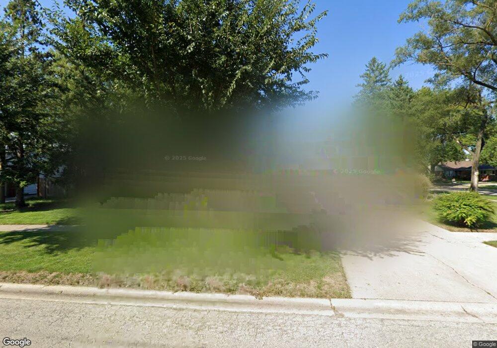
1378 S 2nd Ave Des Plaines, IL 60018
Estimated Value: $366,000 - $463,000
3
Beds
2
Baths
1,357
Sq Ft
$304/Sq Ft
Est. Value
About This Home
This home is located at 1378 S 2nd Ave, Des Plaines, IL 60018 and is currently estimated at $412,435, approximately $303 per square foot. 1378 S 2nd Ave is a home located in Cook County with nearby schools including Forest Elementary School, Algonquin Middle School, and Maine West High School.
Ownership History
Date
Name
Owned For
Owner Type
Purchase Details
Closed on
Aug 23, 2022
Sold by
French Jay R
Bought by
Jay R French Trust
Current Estimated Value
Purchase Details
Closed on
Dec 20, 2012
Sold by
French Gretchen and French Jay R
Bought by
French Jay R
Purchase Details
Closed on
Apr 6, 1998
Sold by
Helfers Robert
Bought by
French Jay R and French Gretchen E
Home Financials for this Owner
Home Financials are based on the most recent Mortgage that was taken out on this home.
Original Mortgage
$155,790
Interest Rate
7.27%
Mortgage Type
FHA
Create a Home Valuation Report for This Property
The Home Valuation Report is an in-depth analysis detailing your home's value as well as a comparison with similar homes in the area
Home Values in the Area
Average Home Value in this Area
Purchase History
We collect this data history from publicly available records. To have your information removed, we recommend requesting removal directly through your county’s website.
| Date | Buyer | Sale Price | Title Company |
|---|---|---|---|
| Jay R French Trust | -- | None Listed On Document | |
| French Jay R | -- | None Available | |
| French Jay R | $173,000 | -- |
Source: Public Records
Mortgage History
We collect this data history from publicly available records. To have your information removed, we recommend requesting removal directly through your county’s website.
| Date | Status | Borrower | Loan Amount |
|---|---|---|---|
| Previous Owner | French Jay R | $155,790 |
Source: Public Records
Tax History
| Year | Tax Paid | Tax Assessment Tax Assessment Total Assessment is a certain percentage of the fair market value that is determined by local assessors to be the total taxable value of land and additions on the property. | Land | Improvement |
|---|---|---|---|---|
| 2025 | $6,597 | $37,000 | $7,839 | $29,161 |
| 2024 | $6,597 | $29,001 | $6,533 | $22,468 |
| 2023 | $6,406 | $29,001 | $6,533 | $22,468 |
| 2022 | $6,406 | $29,001 | $6,533 | $22,468 |
| 2021 | $5,747 | $22,026 | $5,443 | $16,583 |
| 2020 | $5,719 | $22,026 | $5,443 | $16,583 |
| 2019 | $6,560 | $27,806 | $5,443 | $22,363 |
| 2018 | $4,808 | $19,513 | $4,790 | $14,723 |
| 2017 | $5,814 | $23,164 | $4,790 | $18,374 |
| 2016 | $5,743 | $23,164 | $4,790 | $18,374 |
| 2015 | $4,277 | $16,770 | $4,137 | $12,633 |
| 2014 | $4,741 | $18,589 | $4,137 | $14,452 |
| 2013 | $5,063 | $22,053 | $4,137 | $17,916 |
Source: Public Records
Map
Nearby Homes
- 1458 Kingston Ct
- 1030 Bogart St
- 1080 Bogart St
- 1541 Cooper St
- 1117 Margret St
- 794 E Lincoln Ave
- 1076 S 3rd Ave
- 1152 E Walnut Ave
- 1023 Margret St
- 1678 Ash St
- 1205 S Wolf Rd
- 1509 Center St
- 1830 Dexter Ln
- 980 W Grant Dr
- 940 W Grant Dr
- 1495 E Algonquin Rd
- 505 Forest Ave
- 1042 Alfini Dr
- 900 Lee St Unit 202
- 1857 Pine St
- 1366 S 2nd Ave
- 1360 S 2nd Ave
- 1372 S 2nd Ave
- 1305 Carol Ln
- 1354 S 2nd Ave
- 976 E Forest Ave
- 1315 Carol Ln
- 1348 S 2nd Ave
- 970 E Forest Ave
- 1363 S 2nd Ave
- 1369 S 2nd Ave
- 1357 S 2nd Ave
- 1325 Carol Ln
- 1375 S 2nd Ave
- 1340 S 2nd Ave
- 962 E Forest Ave
- 1349 S 2nd Ave
- 1341 Webster Ln
- 1335 Carol Ln
- 1033 Olivia Ave
Your Personal Tour Guide
Ask me questions while you tour the home.