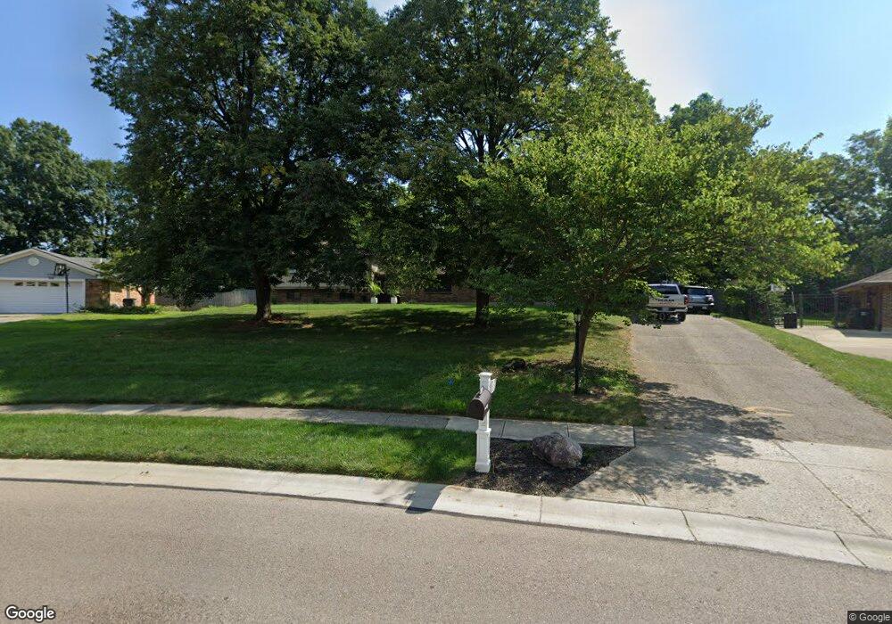
1379 Ambridge Rd Dayton, OH 45459
Estimated Value: $357,000 - $399,985
4
Beds
3
Baths
2,373
Sq Ft
$162/Sq Ft
Est. Value
About This Home
This home is located at 1379 Ambridge Rd, Dayton, OH 45459 and is currently estimated at $385,496, approximately $162 per square foot. 1379 Ambridge Rd is a home located in Montgomery County with nearby schools including Primary Village North, Stingley Elementary School, and Tower Heights Middle School.
Ownership History
Date
Name
Owned For
Owner Type
Purchase Details
Closed on
Jul 18, 2019
Sold by
Long Joan M
Bought by
Snider Sara Ann
Current Estimated Value
Home Financials for this Owner
Home Financials are based on the most recent Mortgage that was taken out on this home.
Original Mortgage
$215,650
Outstanding Balance
$187,635
Interest Rate
3.7%
Mortgage Type
New Conventional
Estimated Equity
$197,861
Create a Home Valuation Report for This Property
The Home Valuation Report is an in-depth analysis detailing your home's value as well as a comparison with similar homes in the area
Purchase History
| Date | Buyer | Sale Price | Title Company |
|---|---|---|---|
| Snider Sara Ann | $227,000 | Landmark Ttl Agcy South Inc |
Source: Public Records
Mortgage History
| Date | Status | Borrower | Loan Amount |
|---|---|---|---|
| Open | Snider Sara Ann | $215,650 |
Source: Public Records
Tax History
| Year | Tax Paid | Tax Assessment Tax Assessment Total Assessment is a certain percentage of the fair market value that is determined by local assessors to be the total taxable value of land and additions on the property. | Land | Improvement |
|---|---|---|---|---|
| 2025 | $7,071 | $109,250 | $22,750 | $86,500 |
| 2024 | $6,479 | $109,250 | $22,750 | $86,500 |
| 2023 | $6,479 | $109,250 | $22,750 | $86,500 |
| 2022 | $6,283 | $84,040 | $17,500 | $66,540 |
| 2021 | $6,300 | $84,040 | $17,500 | $66,540 |
| 2020 | $6,291 | $84,040 | $17,500 | $66,540 |
| 2019 | $5,700 | $78,160 | $17,500 | $60,660 |
| 2018 | $5,052 | $78,160 | $17,500 | $60,660 |
| 2017 | $4,993 | $78,160 | $17,500 | $60,660 |
| 2016 | $4,671 | $70,010 | $17,500 | $52,510 |
| 2015 | $4,623 | $70,010 | $17,500 | $52,510 |
| 2014 | $4,623 | $70,010 | $17,500 | $52,510 |
| 2012 | -- | $71,560 | $19,250 | $52,310 |
Source: Public Records
Map
Nearby Homes
- 1366 Scenicview Ct
- 1413 Ashworth Ct Unit 1413
- 1237 Chevington Ct Unit 1515
- 1320 Glastonbury Ln Unit 28A1320
- 6834 Cedar Cove Dr Unit 3175
- 1160 Smugglers Way Unit 1433
- 1594 Mapleton Dr
- 955 Elk Hollow Ln Unit 4040
- 942 Fawn Lea Trail Unit 2525
- 1311 Hollow Run Unit 6
- 6640 Green Branch Dr Unit 7
- 6620 Green Branch Dr Unit 6
- 7215 Whitetail Trail Unit 108108
- 6615 Hedington Square Unit 5
- 6673 Brigham Square
- 1953 Baldwin Dr
- 1547 Ambridge Rd
- 6611 Brigham Square Unit 2
- 1914 Home Path Ct
- 6366 Jason Ln Unit 35
- 1377 Ambridge Rd
- 1381 Ambridge Rd
- 1375 Ambridge Rd
- 1383 Ambridge Rd
- 1376 Ambridge Rd
- 1325 Ambridge Rd
- 1385 Ambridge Rd
- 1382 Ambridge Rd
- 1326 Ambridge Rd
- 1450 E Alex Bell Rd
- 1450 E Alex Bell Rd
- 7060 Wilderness Way
- 1275 Ambridge Rd
- 1384 Ambridge Rd
- 1387 Ambridge Rd
- 7150 Wilderness Way
- 1255 Ambridge Rd
- 1386 Ambridge Rd
- 1330 E Alex Bell Rd
- 7053 Wilderness Way
Your Personal Tour Guide
Ask me questions while you tour the home.