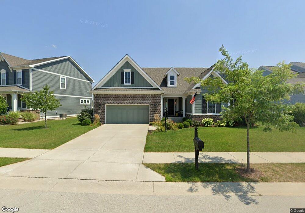
13794 Roy Anderson Blvd Fishers, IN 46038
Estimated Value: $601,010 - $630,000
3
Beds
4
Baths
2,461
Sq Ft
$250/Sq Ft
Est. Value
About This Home
This home is located at 13794 Roy Anderson Blvd, Fishers, IN 46038 and is currently estimated at $615,253, approximately $250 per square foot. 13794 Roy Anderson Blvd is a home with nearby schools including Cumberland Road Elementary School, East Middle School, and Fishers Junior High School.
Ownership History
Date
Name
Owned For
Owner Type
Purchase Details
Closed on
Nov 30, 2017
Sold by
Show Case Homes Llc
Bought by
Belser Richard L and Belser Elizabeth A
Current Estimated Value
Home Financials for this Owner
Home Financials are based on the most recent Mortgage that was taken out on this home.
Original Mortgage
$324,056
Outstanding Balance
$266,676
Interest Rate
3.1%
Mortgage Type
Adjustable Rate Mortgage/ARM
Estimated Equity
$348,577
Purchase Details
Closed on
Jul 7, 2017
Sold by
Anderson Lot Owner Llc
Bought by
Mrec Eh Anderson Hall Llc
Create a Home Valuation Report for This Property
The Home Valuation Report is an in-depth analysis detailing your home's value as well as a comparison with similar homes in the area
Home Values in the Area
Average Home Value in this Area
Purchase History
| Date | Buyer | Sale Price | Title Company |
|---|---|---|---|
| Belser Richard L | -- | None Available | |
| Show Case Homes Llc | -- | Hamilton National Title Llc | |
| Mrec Eh Anderson Hall Llc | -- | Hamilton National Title Llc |
Source: Public Records
Mortgage History
| Date | Status | Borrower | Loan Amount |
|---|---|---|---|
| Open | Belser Richard L | $324,056 |
Source: Public Records
Tax History Compared to Growth
Tax History
| Year | Tax Paid | Tax Assessment Tax Assessment Total Assessment is a certain percentage of the fair market value that is determined by local assessors to be the total taxable value of land and additions on the property. | Land | Improvement |
|---|---|---|---|---|
| 2024 | $5,832 | $538,200 | $85,600 | $452,600 |
| 2023 | $5,867 | $503,700 | $85,600 | $418,100 |
| 2022 | $5,561 | $464,700 | $85,600 | $379,100 |
| 2021 | $5,000 | $414,700 | $85,600 | $329,100 |
| 2020 | $4,557 | $377,300 | $85,600 | $291,700 |
| 2019 | $4,442 | $368,900 | $77,200 | $291,700 |
| 2018 | $4,491 | $371,900 | $77,200 | $294,700 |
| 2017 | $13 | $600 | $600 | $0 |
| 2016 | $14 | $600 | $600 | $0 |
Source: Public Records
Map
Nearby Homes
- 13763 Meadow Lake Dr
- 10414 Bicknell Cir
- 10523 Hollowood Ct
- 10343 Waveland Cir
- 11069 Chandler Way
- 10175 Pamona Ct
- 13281 Middlewood Ln
- 11090 Sanders Dr
- 14041 Mimosa Ct
- 10270 Apple Blossom Cir
- 13723 Gladden Ln
- 10093 Parkshore Dr
- 14243 Holly Berry Cir
- 10713 Summerwood Ln
- 11141 Craycroft Ct
- 10190 Holly Berry Cir
- 10055 Plantana Blvd
- 13125 Zinfandel Place
- 10392 Cotton Blossom Dr
- 10150 Beresford Ct
- 13782 Roy Anderson Blvd
- 13806 Roy Anderson Blvd
- 10665 Helios Cir
- 13770 Roy Anderson Blvd
- 10575 Klepfer Cir
- 10576 Klepfer Cir
- 13818 Roy Anderson Blvd
- 13758 Roy Anderson Blvd
- 10668 Helios Cir
- 10681 Helios Cir
- 10584 Treeswing Dr
- 10561 Klepfer Cir
- 10563 Cloverfield Cir
- 10664 Sunbeam Cir
- 10562 Klepfer Cir
- 13830 Roy Anderson Blvd
- 13746 Roy Anderson Blvd
- 10570 Treeswing Dr
- 10648 Sunbeam Cir
- 10541 Cloverfield Cir