138 Briarwood Cir Fremont, OH 43420
Estimated Value: $199,000 - $228,000
2
Beds
2
Baths
1,664
Sq Ft
$131/Sq Ft
Est. Value
About This Home
This home is located at 138 Briarwood Cir, Fremont, OH 43420 and is currently estimated at $217,345, approximately $130 per square foot. 138 Briarwood Cir is a home located in Sandusky County with nearby schools including Fremont Ross High School, Bishop Hoffman Catholic School - This is St Joe's School now, and St. Joseph School.
Ownership History
Date
Name
Owned For
Owner Type
Purchase Details
Closed on
Jun 10, 2000
Sold by
Sauber John B
Bought by
Clark James R and Clark Marilyn M
Current Estimated Value
Purchase Details
Closed on
Mar 10, 1999
Sold by
Heschel Carole J
Bought by
Sauber John B
Home Financials for this Owner
Home Financials are based on the most recent Mortgage that was taken out on this home.
Original Mortgage
$96,000
Interest Rate
6.78%
Mortgage Type
New Conventional
Purchase Details
Closed on
Dec 1, 1993
Sold by
Clark James R and Clark Marilyn
Bought by
Clark James R & Marilyn M Trustees
Purchase Details
Closed on
Aug 1, 1991
Sold by
Clark James R and Clark Marilyn
Bought by
Clark James R & Marilyn M Trustees
Purchase Details
Closed on
Aug 1, 1990
Bought by
Clark James R & Marilyn M Trustees
Create a Home Valuation Report for This Property
The Home Valuation Report is an in-depth analysis detailing your home's value as well as a comparison with similar homes in the area
Home Values in the Area
Average Home Value in this Area
Purchase History
| Date | Buyer | Sale Price | Title Company |
|---|---|---|---|
| Clark James R | $140,000 | -- | |
| Sauber John B | $110,000 | -- | |
| Clark James R & Marilyn M Trustees | $105,000 | -- | |
| Clark James R & Marilyn M Trustees | -- | -- | |
| Clark James R & Marilyn M Trustees | $98,100 | -- |
Source: Public Records
Mortgage History
| Date | Status | Borrower | Loan Amount |
|---|---|---|---|
| Previous Owner | Sauber John B | $96,000 |
Source: Public Records
Tax History Compared to Growth
Tax History
| Year | Tax Paid | Tax Assessment Tax Assessment Total Assessment is a certain percentage of the fair market value that is determined by local assessors to be the total taxable value of land and additions on the property. | Land | Improvement |
|---|---|---|---|---|
| 2024 | $2,213 | $66,750 | $10,920 | $55,830 |
| 2023 | $2,213 | $47,010 | $7,700 | $39,310 |
| 2022 | $1,588 | $47,010 | $7,700 | $39,310 |
| 2021 | $1,636 | $47,010 | $7,700 | $39,310 |
| 2020 | $1,507 | $43,300 | $7,700 | $35,600 |
| 2019 | $1,505 | $43,300 | $7,700 | $35,600 |
| 2018 | $1,465 | $43,300 | $7,700 | $35,600 |
| 2017 | $1,298 | $39,200 | $7,700 | $31,500 |
| 2016 | $1,138 | $39,200 | $7,700 | $31,500 |
| 2015 | $1,119 | $39,200 | $7,700 | $31,500 |
| 2014 | $1,347 | $43,860 | $9,000 | $34,860 |
| 2013 | $1,319 | $43,860 | $9,000 | $34,860 |
Source: Public Records
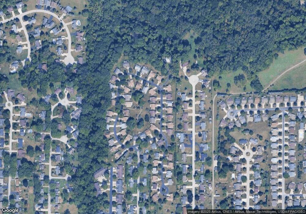
Map
Nearby Homes
- 135 Briarwood Cir
- 1818 Finley Dr
- 64 River Run Dr Unit J
- 10 Meadowbrook Ln
- 10 Meadowbrook Dr
- 350 Conner Dr
- 1832 Myrtle St
- 1970 Morrison Rd
- 1420 Center St
- 933 E Cole Rd
- 18 Katlyn Dr
- 1013 Whittlesey St
- 905 Twinn St
- 1485 Autumn Woods Dr
- 625 Bush Place
- 1028 June St
- 815 South St
- 1719 Buckland Ave
- 616 S Wood St
- 1015 Hayes Ave
- 136 Briarwood Cir Unit 136
- 140 Briarwood Cir
- 133 Briarwood Cir Unit 133
- 139 Briarwood Cir
- 142 Briarwood Cir
- 141 Briarwood Cir Unit 141
- 137 Briarwood Cir
- 129 Briarwood Cir Unit 129
- 143 Briarwood Cir Unit 143
- 146 Briarwood Cir
- 145 Briarwood Cir
- 113 Briarwood Cir
- 132 Briarwood Cir Unit 132
- 115 Briarwood Cir
- 111 Briarwood Cir
- 150 Briarwood Cir
- 1608 Maple Ln
- 147 Briarwood Cir
- 130 Briarwood Cir
- 1620 Maple Ln