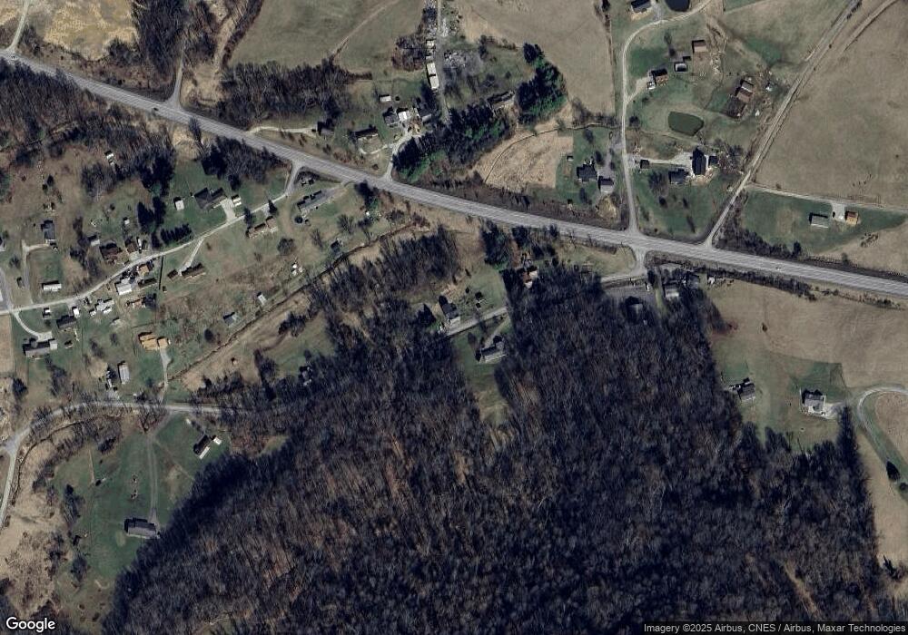
138 Downbridge Rd Shinnston, WV 26431
Estimated Value: $109,000 - $168,189
2
Beds
1
Bath
1,162
Sq Ft
$119/Sq Ft
Est. Value
About This Home
This home is located at 138 Downbridge Rd, Shinnston, WV 26431 and is currently estimated at $137,797, approximately $118 per square foot. 138 Downbridge Rd is a home.
Ownership History
Date
Name
Owned For
Owner Type
Purchase Details
Closed on
May 30, 2018
Sold by
Sinclair Aaron Thomas
Bought by
Mcintire Adam Paul
Current Estimated Value
Home Financials for this Owner
Home Financials are based on the most recent Mortgage that was taken out on this home.
Original Mortgage
$77,600
Interest Rate
4.5%
Purchase Details
Closed on
Aug 7, 2013
Sold by
Sinclair Barry
Bought by
Sinclair Aaron Thomas
Home Financials for this Owner
Home Financials are based on the most recent Mortgage that was taken out on this home.
Original Mortgage
$54,995
Interest Rate
2.99%
Mortgage Type
Adjustable Rate Mortgage/ARM
Purchase Details
Closed on
Dec 14, 2006
Sold by
Lambiotte Michael S and Lambiotte Sandra H
Bought by
Loss Edward D and Loss Whitney
Create a Home Valuation Report for This Property
The Home Valuation Report is an in-depth analysis detailing your home's value as well as a comparison with similar homes in the area
Home Values in the Area
Average Home Value in this Area
Purchase History
| Date | Buyer | Sale Price | Title Company |
|---|---|---|---|
| Mcintire Adam Paul | $80,000 | None Available | |
| Sinclair Aaron Thomas | $64,700 | None Available | |
| Loss Edward D | $72,100 | None Available |
Source: Public Records
Mortgage History
| Date | Status | Borrower | Loan Amount |
|---|---|---|---|
| Previous Owner | Mcintire Adam Paul | $77,600 | |
| Previous Owner | Sinclair Aaron Thomas | $54,995 |
Source: Public Records
Tax History Compared to Growth
Tax History
| Year | Tax Paid | Tax Assessment Tax Assessment Total Assessment is a certain percentage of the fair market value that is determined by local assessors to be the total taxable value of land and additions on the property. | Land | Improvement |
|---|---|---|---|---|
| 2025 | $649 | $55,740 | $29,940 | $25,800 |
| 2024 | $649 | $53,700 | $29,940 | $23,760 |
| 2023 | $616 | $51,780 | $29,940 | $21,840 |
| 2022 | $591 | $50,160 | $28,500 | $21,660 |
| 2021 | $581 | $49,860 | $28,500 | $21,360 |
| 2020 | $551 | $47,820 | $27,060 | $20,760 |
| 2019 | $969 | $42,000 | $21,660 | $20,340 |
| 2018 | $479 | $41,700 | $21,660 | $20,040 |
| 2017 | $466 | $40,800 | $21,120 | $19,680 |
| 2016 | $450 | $39,900 | $20,580 | $19,320 |
| 2015 | $435 | $38,340 | $19,500 | $18,840 |
| 2014 | $413 | $36,420 | $17,880 | $18,540 |
Source: Public Records
Map
Nearby Homes
- 90 W Enterprise Rd
- 131 Hill View Terrace
- 1236 Francis Mine Rd
- 5007 Freedom Hwy
- 74 Long Meadow Ln
- 31 Sanctuary Way
- Tbd Long Run Rd
- Lot B Riverdale Estates
- 250 Main St
- 12 Crown St
- 2011 Adamsville Rd
- 704 S Stewart St
- 1955 Owings Rd
- 2 Sycamore St
- 560 Miners Way
- 85 Charles St
- 1704 Saltwell Rd
- TBD Helens Run Rd
- 426 Vernon St
- 22.29 ACRES Industrial Park Rd
- 123 Downbridge Rd
- 238 Downbridge Rd
- 88 Downbridge Rd
- 642 Enterprise Rd
- 27 Bald Eagle Ln
- 70 Long St
- 348 Downbridge Rd
- 49 Fleetwood Dr
- 68 Bald Eagle Ln
- 19 Downbridge Rd
- 140 Long St
- 347 Downbridge Rd
- 34 Fleetwood Dr
- 181 Long St
- 21 Downbridge Rd
- 209 Long St
- 72 Wilfong Hollow Rd
- 133 Fleetwood Dr
- 34 High St
- 484 Downbridge Rd
