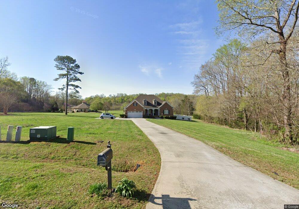
138 E Knoll Brook Dr Mocksville, NC 27028
Estimated Value: $418,383 - $497,000
3
Beds
2
Baths
1,991
Sq Ft
$234/Sq Ft
Est. Value
About This Home
This home is located at 138 E Knoll Brook Dr, Mocksville, NC 27028 and is currently estimated at $465,846, approximately $233 per square foot. 138 E Knoll Brook Dr is a home located in Davie County with nearby schools including Mocksville Elementary School, South Davie Middle, and Davie County High School.
Ownership History
Date
Name
Owned For
Owner Type
Purchase Details
Closed on
Feb 23, 2010
Sold by
Federal National Mortgage Association
Bought by
Hoppes Tony Dale and Hoppes Dawn Perkins
Current Estimated Value
Purchase Details
Closed on
Feb 2, 2010
Sold by
Anderson Carol B
Bought by
Fannie Mae
Purchase Details
Closed on
Sep 8, 2005
Sold by
Crews Jerry L and Crews Janie D
Bought by
Anderson Carol B
Home Financials for this Owner
Home Financials are based on the most recent Mortgage that was taken out on this home.
Original Mortgage
$272,361
Interest Rate
5.77%
Mortgage Type
New Conventional
Purchase Details
Closed on
Dec 1, 2004
Purchase Details
Closed on
May 1, 1999
Create a Home Valuation Report for This Property
The Home Valuation Report is an in-depth analysis detailing your home's value as well as a comparison with similar homes in the area
Home Values in the Area
Average Home Value in this Area
Purchase History
| Date | Buyer | Sale Price | Title Company |
|---|---|---|---|
| Hoppes Tony Dale | -- | None Available | |
| Fannie Mae | $286,834 | None Available | |
| Anderson Carol B | $272,500 | -- | |
| -- | $39,000 | -- | |
| -- | -- | -- |
Source: Public Records
Mortgage History
| Date | Status | Borrower | Loan Amount |
|---|---|---|---|
| Previous Owner | Anderson Carol B | $272,361 |
Source: Public Records
Tax History Compared to Growth
Tax History
| Year | Tax Paid | Tax Assessment Tax Assessment Total Assessment is a certain percentage of the fair market value that is determined by local assessors to be the total taxable value of land and additions on the property. | Land | Improvement |
|---|---|---|---|---|
| 2025 | $2,759 | $400,610 | $37,220 | $363,390 |
| 2024 | $1,923 | $248,770 | $26,680 | $222,090 |
| 2023 | $1,923 | $248,770 | $26,680 | $222,090 |
| 2022 | $1,935 | $248,770 | $26,680 | $222,090 |
| 2021 | $1,923 | $248,770 | $26,680 | $222,090 |
| 2020 | $1,878 | $241,370 | $26,680 | $214,690 |
| 2019 | $1,878 | $241,370 | $26,680 | $214,690 |
| 2018 | $1,878 | $241,370 | $26,680 | $214,690 |
| 2017 | $1,854 | $241,370 | $0 | $0 |
| 2016 | $1,882 | $244,820 | $0 | $0 |
| 2015 | $1,882 | $244,820 | $0 | $0 |
| 2014 | -- | $244,820 | $0 | $0 |
| 2013 | -- | $244,820 | $0 | $0 |
Source: Public Records
Map
Nearby Homes
- 125 Drayton Ct
- 0 Chandler Dr Unit 1195908
- 138 S Madera Dr
- 130 S Madera Dr
- 117 Chandler Dr
- 159 S Madera Dr
- 178 Nellwood Ct
- 222 Elm St
- 153 Canyon Rd
- 127 Arbor Hill Ave
- 195 Canyon Rd
- 90 Whitney Rd
- 122 (Lot 2) Whittaker Rd
- 122 (Lot 3) Whittaker Rd
- 171 Lakeview Dr
- 123 Creekside Dr
- 320 McClamrock Rd
- 0 Milling Rd
- 00 Martin Luther King Junior Rd
- 148 Cemetery St
- 124 E Knoll Brook Dr
- 148 E Knoll Brook Dr
- 126 E Knoll Brook Dr
- 129 E Knoll Brook Dr
- 149 E Knoll Brook Dr
- 0 E Knoll Brook Dr Unit 3134324
- 170 Matthias Ct
- 107 W Knoll Brook Dr
- 157 Matthias Ct
- 11 E Knoll Brook Dr
- 108 Drayton Ct
- 124 Drayton Ct
- 128 Drayton Ct
- 201 Meadow Ridge Dr
- 173 Forest View Dr
- 146 Matthias Ct
- 138 Matthias Ct
- 133 W Knoll Brook Dr
- 133 Drayton Ct
- 198 Meadow Ridge Dr