138 Hazel Clark Rd Center Barnstead, NH 03225
Estimated Value: $487,000 - $662,000
--
Bed
--
Bath
--
Sq Ft
2.51
Acres
About This Home
This home is located at 138 Hazel Clark Rd, Center Barnstead, NH 03225 and is currently estimated at $608,350. 138 Hazel Clark Rd is a home with nearby schools including Barnstead Elementary School and Prospect Mountain High School.
Ownership History
Date
Name
Owned For
Owner Type
Purchase Details
Closed on
Jan 5, 2023
Sold by
Simpson Scott S and Simpson Deborah A
Bought by
S & Deborah Simpson Ft
Current Estimated Value
Purchase Details
Closed on
Nov 30, 2021
Sold by
Simpson Scott S and Simpson Deborah A
Bought by
Simpson Scott S and Simpson Deborah A
Home Financials for this Owner
Home Financials are based on the most recent Mortgage that was taken out on this home.
Original Mortgage
$215,000
Interest Rate
3.09%
Mortgage Type
Stand Alone Refi Refinance Of Original Loan
Create a Home Valuation Report for This Property
The Home Valuation Report is an in-depth analysis detailing your home's value as well as a comparison with similar homes in the area
Home Values in the Area
Average Home Value in this Area
Purchase History
| Date | Buyer | Sale Price | Title Company |
|---|---|---|---|
| S & Deborah Simpson Ft | -- | None Available | |
| Simpson Scott S | -- | None Available | |
| Simpson Scott S | -- | None Available |
Source: Public Records
Mortgage History
| Date | Status | Borrower | Loan Amount |
|---|---|---|---|
| Previous Owner | Simpson Scott S | $215,000 |
Source: Public Records
Tax History Compared to Growth
Tax History
| Year | Tax Paid | Tax Assessment Tax Assessment Total Assessment is a certain percentage of the fair market value that is determined by local assessors to be the total taxable value of land and additions on the property. | Land | Improvement |
|---|---|---|---|---|
| 2024 | $9,416 | $577,300 | $104,800 | $472,500 |
| 2023 | $8,284 | $577,300 | $104,800 | $472,500 |
| 2022 | $7,929 | $367,100 | $48,000 | $319,100 |
| 2021 | $7,431 | $338,400 | $48,000 | $290,400 |
| 2020 | $7,817 | $338,400 | $48,000 | $290,400 |
| 2019 | $7,726 | $338,400 | $48,000 | $290,400 |
| 2018 | $7,529 | $338,400 | $48,000 | $290,400 |
| 2017 | $6,526 | $225,800 | $36,800 | $189,000 |
| 2016 | $6,115 | $224,400 | $36,800 | $187,600 |
Source: Public Records
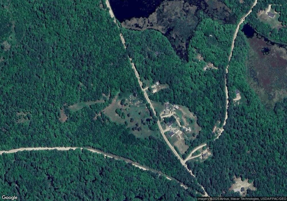
Map
Nearby Homes
- L68-2 Vail Rd
- L68-1 Vail Rd
- 38 Chapelle Rd
- 77 Holmes Rd
- 109 Vail Rd
- 572 S Barnstead Rd
- 77 Vail Rd
- 277 Shackford Corner Rd
- 25 Vail Rd
- 109 Shackford Corner Rd
- 11 Gray Rd
- 4 Sandy Point Rd
- 152 Evans Rd
- 85 Province Rd
- 9 Nutter Cir
- 956 N Barnstead Rd
- 93 E Huntress Pond Rd
- O N Shore Dr
- M10 L26-3 Valley Dam Rd
- 0 Corner North Shore Dr Unit 446 5054482
- 134 Hazel Clark Rd
- 154 Hazel Clark Rd
- 46 Beaver Pond Dr
- 112 Hazel Clark Rd
- 3 Beaver Pond Dr
- 31 Beaver Pond Dr
- 428 New Rd
- 12 Beaver Pond Dr Unit Lot 12-38
- 3 Sugar Ln
- 30 Beaver Pond Dr
- 38 Beaver Pond Dr
- 0 Beaver Pond Dr Unit 5020378
- 0 Beaver Pond Dr Unit 4817417
- 0 Beaver Pond Dr
- Lot 30 Beaver Pond Dr
- 88 Beaver Pond Dr
- 77 Beaver Pond Dr
- 29 Sugar Ln
- 455 New Rd
- 82 Hazel Clark Rd