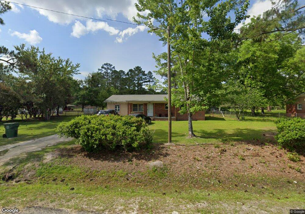
138 Mark Ln Moultrie, GA 31788
Estimated Value: $155,475 - $181,000
--
Bed
2
Baths
1,351
Sq Ft
$125/Sq Ft
Est. Value
About This Home
This home is located at 138 Mark Ln, Moultrie, GA 31788 and is currently estimated at $168,492, approximately $124 per square foot. 138 Mark Ln is a home located in Colquitt County with nearby schools including Odom Elementary School, Willie J. Williams Middle School, and C.A. Gray Junior High School.
Ownership History
Date
Name
Owned For
Owner Type
Purchase Details
Closed on
Jul 18, 2005
Sold by
Sowega Land Co
Bought by
Conde Martha C
Current Estimated Value
Home Financials for this Owner
Home Financials are based on the most recent Mortgage that was taken out on this home.
Original Mortgage
$37,500
Outstanding Balance
$19,487
Interest Rate
5.59%
Mortgage Type
New Conventional
Estimated Equity
$149,005
Purchase Details
Closed on
Jun 2, 2005
Sold by
Walker Clyde H
Bought by
Sowega Land Co Inc
Home Financials for this Owner
Home Financials are based on the most recent Mortgage that was taken out on this home.
Original Mortgage
$37,500
Outstanding Balance
$19,487
Interest Rate
5.59%
Mortgage Type
New Conventional
Estimated Equity
$149,005
Purchase Details
Closed on
Apr 16, 1996
Bought by
Walker Clyde H
Purchase Details
Closed on
May 29, 1992
Bought by
Phillps Peter M
Purchase Details
Closed on
Nov 22, 1991
Bought by
Hodnett Albert M
Create a Home Valuation Report for This Property
The Home Valuation Report is an in-depth analysis detailing your home's value as well as a comparison with similar homes in the area
Home Values in the Area
Average Home Value in this Area
Purchase History
| Date | Buyer | Sale Price | Title Company |
|---|---|---|---|
| Conde Martha C | $50,000 | -- | |
| Sowega Land Co Inc | $34,000 | -- | |
| Walker Clyde H | $28,000 | -- | |
| Phillps Peter M | $38,000 | -- | |
| Hodnett Albert M | $10,500 | -- |
Source: Public Records
Mortgage History
| Date | Status | Borrower | Loan Amount |
|---|---|---|---|
| Open | Conde Martha C | $37,500 |
Source: Public Records
Tax History Compared to Growth
Tax History
| Year | Tax Paid | Tax Assessment Tax Assessment Total Assessment is a certain percentage of the fair market value that is determined by local assessors to be the total taxable value of land and additions on the property. | Land | Improvement |
|---|---|---|---|---|
| 2024 | $945 | $51,299 | $1,000 | $50,299 |
| 2023 | $1,082 | $32,368 | $1,000 | $31,368 |
| 2022 | $599 | $25,166 | $1,000 | $24,166 |
| 2021 | $512 | $21,078 | $1,000 | $20,078 |
| 2020 | $521 | $21,078 | $1,000 | $20,078 |
| 2019 | $543 | $19,741 | $1,000 | $18,741 |
| 2018 | $505 | $19,741 | $1,000 | $18,741 |
| 2017 | $537 | $19,741 | $1,000 | $18,741 |
| 2016 | $544 | $19,741 | $1,000 | $18,741 |
| 2015 | $550 | $19,741 | $1,000 | $18,741 |
| 2014 | $485 | $19,741 | $1,000 | $18,741 |
| 2013 | -- | $19,741 | $1,000 | $18,741 |
Source: Public Records
Map
Nearby Homes
- 292 Robin Ln
- 2332 Georgia 37
- 157 Quail Ridge
- 0 Sardis Church Rd
- 1113 Georgia 133
- 0 Doc Darbyshire Rd
- LL261 Rowland Dr
- 1716 5th Ave SE
- 1406 3rd Ave SE
- 0 Mark Orton Ln
- 0 Old Norman Park Rd
- 209 Cherokee Dr
- 0 Sleepy Bear Rd
- 273 Seminole Dr
- 1312 Overlook Dr
- 270 Old Timey Trail
- 1021 11th Ave SE
- 441 Cherokee Dr
- 717 5th Ave SE
- 619 E Central Ave