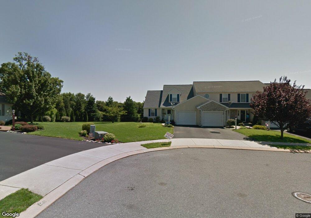
138 Moorland Ct Lititz, PA 17543
Estimated Value: $298,000 - $310,000
2
Beds
2
Baths
1,964
Sq Ft
$155/Sq Ft
Est. Value
About This Home
This home is located at 138 Moorland Ct, Lititz, PA 17543 and is currently estimated at $304,208, approximately $154 per square foot. 138 Moorland Ct is a home located in Lancaster County with nearby schools including Warwick Senior High School, Lititz Christian School, and Linden Hall.
Ownership History
Date
Name
Owned For
Owner Type
Purchase Details
Closed on
Oct 20, 2009
Sold by
Black Shannon Wayne and Black Kim
Bought by
Tangert Robert A
Current Estimated Value
Home Financials for this Owner
Home Financials are based on the most recent Mortgage that was taken out on this home.
Original Mortgage
$142,000
Outstanding Balance
$92,771
Interest Rate
5.09%
Mortgage Type
New Conventional
Estimated Equity
$211,437
Create a Home Valuation Report for This Property
The Home Valuation Report is an in-depth analysis detailing your home's value as well as a comparison with similar homes in the area
Home Values in the Area
Average Home Value in this Area
Purchase History
| Date | Buyer | Sale Price | Title Company |
|---|---|---|---|
| Tangert Robert A | $187,000 | None Available |
Source: Public Records
Mortgage History
| Date | Status | Borrower | Loan Amount |
|---|---|---|---|
| Open | Tangert Robert A | $142,000 |
Source: Public Records
Tax History Compared to Growth
Tax History
| Year | Tax Paid | Tax Assessment Tax Assessment Total Assessment is a certain percentage of the fair market value that is determined by local assessors to be the total taxable value of land and additions on the property. | Land | Improvement |
|---|---|---|---|---|
| 2025 | $3,060 | $156,100 | $39,400 | $116,700 |
| 2024 | $3,060 | $156,100 | $39,400 | $116,700 |
| 2023 | $3,046 | $156,100 | $39,400 | $116,700 |
| 2022 | $3,046 | $156,100 | $39,400 | $116,700 |
| 2021 | $3,046 | $156,100 | $39,400 | $116,700 |
| 2020 | $3,046 | $156,100 | $39,400 | $116,700 |
| 2019 | $3,046 | $156,100 | $39,400 | $116,700 |
| 2018 | $2,441 | $156,100 | $39,400 | $116,700 |
| 2017 | $2,986 | $120,600 | $26,600 | $94,000 |
| 2016 | $2,986 | $120,600 | $26,600 | $94,000 |
| 2015 | $483 | $120,600 | $26,600 | $94,000 |
| 2014 | $2,263 | $120,600 | $26,600 | $94,000 |
Source: Public Records
Map
Nearby Homes
- 411 Danbury Dr
- 28 Cardiff Ct
- 47 W Lincoln Ave
- 28 Brookview Dr
- 7 Brookfield Rd
- 2 Brookfield Rd
- 668 Snyder Hill Rd
- LOT 14 Thaton Rd
- LOT 12 Thaton Rd
- 671 Snyder Hill Rd
- 210 Noble St
- 810 Snyder Hill Rd
- 914 May Rd
- 133 S Spruce St
- 44 E Center St
- 1 Brookwood Dr
- 256 Cedar St S
- 232 W Side Dr
- 501 E New St
- 510 Bluebird Rd
- 140 Moorland Ct
- 136 Moorland Ct
- 142 Moorland Ct
- 134 Moorland Ct
- 132 Moorland Ct
- 143 Moorland Ct
- 130 Moorland Ct
- 141 Moorland Ct
- 128 Moorland Ct
- 139 Moorland Ct
- 135 Pepperton Ct
- 137 Moorland Ct
- 126 Moorland Ct
- 135 Moorland Ct
- 124 Moorland Ct
- 133 Pepperton Ct
- 137 Pepperton Ct
- 131 Pepperton Ct
- 133 Moorland Ct
- 129 Pepperton Ct