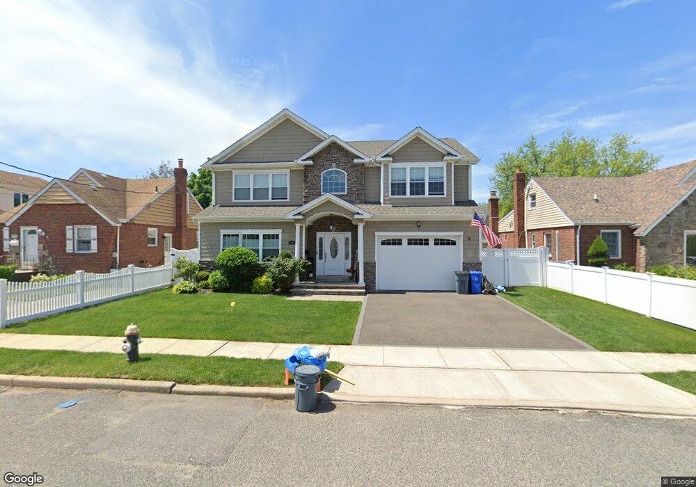
138 Rintin St Franklin Square, NY 11010
Estimated Value: $1,195,598 - $1,409,000
2
Beds
1
Bath
2,712
Sq Ft
$480/Sq Ft
Est. Value
About This Home
This home is located at 138 Rintin St, Franklin Square, NY 11010 and is currently estimated at $1,302,299, approximately $480 per square foot. 138 Rintin St is a home located in Nassau County with nearby schools including Hebrew Academy of Nassau County (HANC).
Ownership History
Date
Name
Owned For
Owner Type
Purchase Details
Closed on
Oct 18, 2018
Sold by
Cervoni Realty Corp
Bought by
Michitsch Robert and Michitsch Victoria
Current Estimated Value
Home Financials for this Owner
Home Financials are based on the most recent Mortgage that was taken out on this home.
Original Mortgage
$600,000
Outstanding Balance
$524,349
Interest Rate
4.6%
Mortgage Type
New Conventional
Estimated Equity
$777,950
Purchase Details
Closed on
Oct 5, 2017
Sold by
Capital One Na
Bought by
Cervoni Realty Corp
Create a Home Valuation Report for This Property
The Home Valuation Report is an in-depth analysis detailing your home's value as well as a comparison with similar homes in the area
Home Values in the Area
Average Home Value in this Area
Purchase History
| Date | Buyer | Sale Price | Title Company |
|---|---|---|---|
| Michitsch Robert | $888,540 | Old Republic National Title | |
| Cervoni Realty Corp | $380,000 | None Available |
Source: Public Records
Mortgage History
| Date | Status | Borrower | Loan Amount |
|---|---|---|---|
| Open | Michitsch Robert | $600,000 |
Source: Public Records
Tax History Compared to Growth
Tax History
| Year | Tax Paid | Tax Assessment Tax Assessment Total Assessment is a certain percentage of the fair market value that is determined by local assessors to be the total taxable value of land and additions on the property. | Land | Improvement |
|---|---|---|---|---|
| 2025 | $9,300 | $757 | $200 | $557 |
| 2024 | $3,351 | $742 | $196 | $546 |
| 2023 | $8,549 | $792 | $210 | $582 |
| 2022 | $8,549 | $824 | $218 | $606 |
| 2021 | $11,126 | $289 | $289 | $0 |
| 2020 | $10,091 | $432 | $431 | $1 |
| 2019 | $2,319 | $432 | $431 | $1 |
| 2018 | $2,226 | $461 | $0 | $0 |
| 2017 | $1,842 | $490 | $473 | $17 |
| 2016 | $4,335 | $519 | $441 | $78 |
| 2015 | $2,605 | $548 | $415 | $133 |
| 2014 | $2,605 | $548 | $415 | $133 |
| 2013 | $2,480 | $590 | $447 | $143 |
Source: Public Records
Map
Nearby Homes
- 144 Rintin St
- 190 Commonwealth St
- 31 Claflin Blvd
- 56 Fendale St
- 249 Grange St
- 676 Sobo Ave
- 715 Iris St
- 149 Rule St
- 775 Roosevelt St
- 23 Monroe St
- 279 Semton Blvd
- 231 Dogwood Ave
- 242 James St
- 32 Madison Ave
- 594 Fenworth Blvd
- 198 Guildford Ct
- 249 Hoffman St
- 109 Caroline Ave
- 301 Hoffman St
- 115 Madison Ave
- 134 Rintin St
- 148 Rintin St
- 137 Commonwealth St
- 141 Commonwealth St
- 133 Commonwealth St
- 145 Commonwealth St
- 129 Commonwealth St
- 154 Rintin St
- 135 Rintin St
- 771 Benris Ave
- 141 Rintin St
- 149 Commonwealth St
- 145 Rintin St
- 145 Rintin St
- 121 Rintin St
- 121 Commonwealth St
- 153 Commonwealth St
- 149 Rintin St
- 160 Rintin St
- 759 Benris Ave