1380 Scott Rd Mansfield, OH 44903
Estimated Value: $312,000 - $358,000
3
Beds
3
Baths
1,636
Sq Ft
$205/Sq Ft
Est. Value
About This Home
This home is located at 1380 Scott Rd, Mansfield, OH 44903 and is currently estimated at $334,587, approximately $204 per square foot. 1380 Scott Rd is a home located in Richland County with nearby schools including Clear Fork High School.
Ownership History
Date
Name
Owned For
Owner Type
Purchase Details
Closed on
Sep 25, 2013
Sold by
Parlette Shirley A
Bought by
Burkhart Colby Lynn
Current Estimated Value
Purchase Details
Closed on
Nov 8, 2004
Sold by
Parlette Shirley and Mcbride Shirley
Bought by
Battisti James A and Battisti Jill D
Home Financials for this Owner
Home Financials are based on the most recent Mortgage that was taken out on this home.
Original Mortgage
$150,000
Interest Rate
7.05%
Mortgage Type
Purchase Money Mortgage
Create a Home Valuation Report for This Property
The Home Valuation Report is an in-depth analysis detailing your home's value as well as a comparison with similar homes in the area
Home Values in the Area
Average Home Value in this Area
Purchase History
| Date | Buyer | Sale Price | Title Company |
|---|---|---|---|
| Burkhart Colby Lynn | -- | None Available | |
| Battisti James A | $285,000 | -- |
Source: Public Records
Mortgage History
| Date | Status | Borrower | Loan Amount |
|---|---|---|---|
| Previous Owner | Battisti James A | $150,000 |
Source: Public Records
Tax History Compared to Growth
Tax History
| Year | Tax Paid | Tax Assessment Tax Assessment Total Assessment is a certain percentage of the fair market value that is determined by local assessors to be the total taxable value of land and additions on the property. | Land | Improvement |
|---|---|---|---|---|
| 2024 | $1,117 | $88,950 | $23,380 | $65,570 |
| 2023 | $1,532 | $88,950 | $23,380 | $65,570 |
| 2022 | $1,723 | $67,790 | $18,820 | $48,970 |
| 2021 | $1,889 | $67,790 | $18,820 | $48,970 |
| 2020 | $1,753 | $67,790 | $18,820 | $48,970 |
| 2019 | $1,564 | $57,020 | $15,680 | $41,340 |
| 2018 | $1,549 | $57,020 | $15,680 | $41,340 |
| 2017 | $737 | $57,020 | $15,680 | $41,340 |
| 2016 | $1,213 | $47,800 | $15,150 | $32,650 |
| 2015 | $658 | $47,800 | $15,150 | $32,650 |
| 2014 | $669 | $47,800 | $15,150 | $32,650 |
| 2012 | $557 | $48,380 | $15,730 | $32,650 |
Source: Public Records
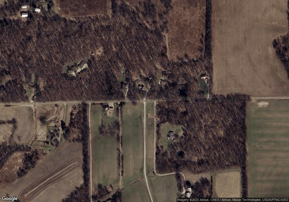
Map
Nearby Homes
- 0 Kenton Rd
- 3362 Possum Run Rd
- 2221 Pleasant Valley Rd
- 0 Anderson Rd
- 0 Riggle Rd
- 4977 Teeter Rd
- 110 E Kochheiser Rd
- 3681 Bellville North Rd
- 119 Yorkshire Rd
- 309 Vanderbilt Rd
- 98 School St
- 106 School St
- 0 Woodruff Rd
- 1260 Ohio 97
- 2130 State Route 39
- 74 E Durbin Ave
- 608 Woodruff Rd
- 0 Main St Unit 9066039
- 76 Church St
- 27 E Main St
- 1390 Scott Rd
- 1360 Scott Rd
- 1306 Scott Rd
- 1401 Scott Rd
- 1377 Scott Rd
- 1296 Scott Rd
- 1415 Scott Rd
- 1365 Scott Rd
- 1333 Scott Rd
- 1258 Scott Rd
- 1257 Scott Rd
- 1241 Scott Rd
- 3754 Hastings Newville Rd
- 1195 Scott Rd
- 1417 Hathaway Rd
- 1572 Hathaway Rd
- 3756 Hastings Newville Rd
- 1361 Hathaway Rd
- 3481 Washington South Rd
- 1388 Hathaway Rd