Estimated Value: $421,000 - $639,000
3
Beds
4
Baths
2,852
Sq Ft
$188/Sq Ft
Est. Value
About This Home
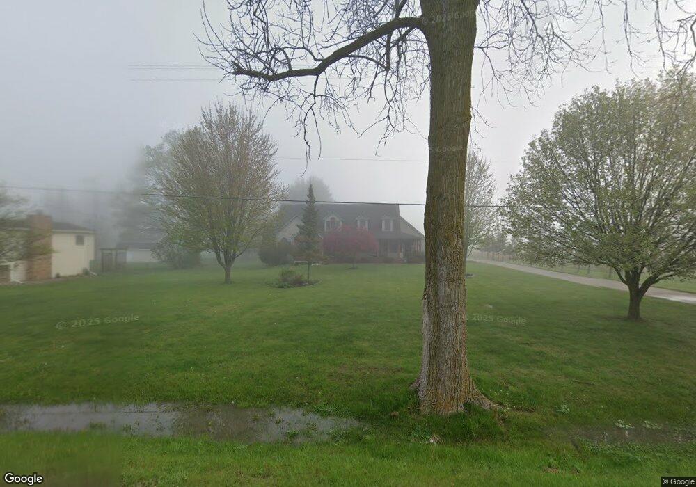
This home is located at 1380 W Reid Rd Unit Bldg-Unit, Flint, MI 48507 and is currently estimated at $535,563, approximately $187 per square foot. 1380 W Reid Rd Unit Bldg-Unit is a home located in Genesee County with nearby schools including Carman-Ainsworth High School, Woodland Park Academy, and Madison Academy - Elementary School.
Ownership History
Date
Name
Owned For
Owner Type
Purchase Details
Closed on
Mar 16, 2018
Sold by
Frost Amy M
Bought by
Carr Brian and Carr Kathrina
Current Estimated Value
Home Financials for this Owner
Home Financials are based on the most recent Mortgage that was taken out on this home.
Original Mortgage
$308,750
Outstanding Balance
$264,574
Interest Rate
4.38%
Mortgage Type
New Conventional
Estimated Equity
$270,989
Create a Home Valuation Report for This Property
The Home Valuation Report is an in-depth analysis detailing your home's value as well as a comparison with similar homes in the area
Home Values in the Area
Average Home Value in this Area
Purchase History
| Date | Buyer | Sale Price | Title Company |
|---|---|---|---|
| Carr Brian | $325,000 | Cislo Title Co |
Source: Public Records
Mortgage History
| Date | Status | Borrower | Loan Amount |
|---|---|---|---|
| Open | Carr Brian | $308,750 |
Source: Public Records
Tax History Compared to Growth
Tax History
| Year | Tax Paid | Tax Assessment Tax Assessment Total Assessment is a certain percentage of the fair market value that is determined by local assessors to be the total taxable value of land and additions on the property. | Land | Improvement |
|---|---|---|---|---|
| 2025 | $7,401 | $285,400 | $0 | $0 |
| 2024 | $4,615 | $260,800 | $0 | $0 |
| 2023 | $4,403 | $234,800 | $0 | $0 |
| 2022 | $6,625 | $211,200 | $0 | $0 |
| 2021 | $6,517 | $199,100 | $0 | $0 |
| 2020 | $3,956 | $188,000 | $0 | $0 |
| 2019 | $3,899 | $175,000 | $0 | $0 |
| 2018 | $4,142 | $162,300 | $0 | $0 |
| 2017 | $3,969 | $149,400 | $0 | $0 |
| 2016 | $4,047 | $136,500 | $0 | $0 |
| 2015 | $3,846 | $122,300 | $0 | $0 |
| 2014 | $2,623 | $113,800 | $0 | $0 |
| 2012 | -- | $106,100 | $106,100 | $0 |
Source: Public Records
Map
Nearby Homes
- 1395 Windwood Ln
- 1389 Dellmont Dr
- 1283 Woodnoll Dr
- 7191 Brittwood Ln
- 0 Taylor Dr Unit 50159493
- 7400 Lawrence St
- 1195 Alton Ave
- 12000 Murray St Unit 67
- 35010 Mitchell St Unit 210
- 41003 Williams St Unit 242
- 3010 Murray St Unit 18
- 7444 Rory St
- 3006 Murray St Unit 16
- 7036 Glen Oak Dr
- 22003 Wilson St Unit 128
- 1203 Froman St
- 6557 Rustic Ridge Trail
- 7471 Brewer Rd
- 6042 Birch Dr
- 7269 Wildflower Ct
- 1380 W Reid Rd
- 1398 W Reid Rd
- 1408 W Reid Rd
- 6477 Florence Dr
- 1358 W Reid Rd
- 1418 W Reid Rd
- 6450 Florence Dr Unit Bldg-Unit
- 6450 Florence Dr
- 1359 W Reid Rd
- 1432 W Reid Rd
- 1345 W Reid Rd
- 6476 Florence Dr
- 1371 W Reid Rd
- 6750 Florence Dr
- 7012 Windridge Ln Unit 7
- 1456 W Reid Rd
- 1364 Fieldcrest Ct Unit 11
- 1358 Fieldcrest Ct Unit 10
- 7020 Windridge Ln Unit 8
- 1466 W Reid Rd