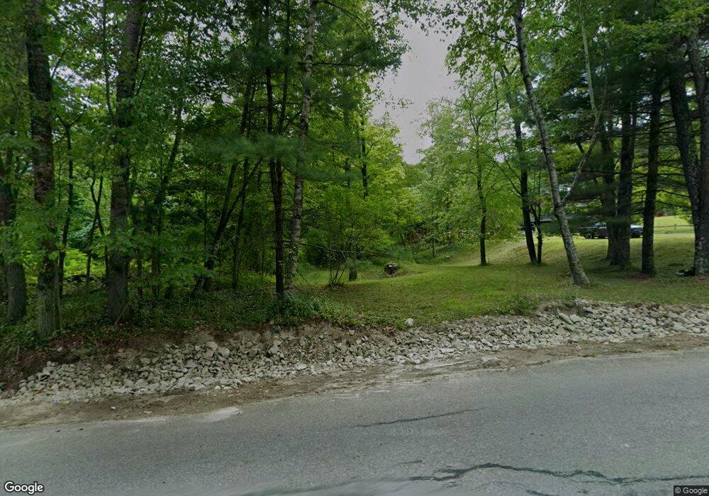
Estimated Value: $431,000 - $449,000
2
Beds
2
Baths
1,847
Sq Ft
$238/Sq Ft
Est. Value
About This Home
This home is located at 1381 Brookline Rd, Mason, NH 03048 and is currently estimated at $439,705, approximately $238 per square foot. 1381 Brookline Rd is a home.
Ownership History
Date
Name
Owned For
Owner Type
Purchase Details
Closed on
Sep 5, 2024
Sold by
Bogatkowski Ronald B
Bought by
Chesnell Stephen and Chesnell Jennifer
Current Estimated Value
Home Financials for this Owner
Home Financials are based on the most recent Mortgage that was taken out on this home.
Original Mortgage
$200,000
Outstanding Balance
$197,881
Interest Rate
6.78%
Mortgage Type
Purchase Money Mortgage
Estimated Equity
$241,824
Create a Home Valuation Report for This Property
The Home Valuation Report is an in-depth analysis detailing your home's value as well as a comparison with similar homes in the area
Home Values in the Area
Average Home Value in this Area
Purchase History
| Date | Buyer | Sale Price | Title Company |
|---|---|---|---|
| Chesnell Stephen | $400,000 | None Available | |
| Chesnell Stephen | $400,000 | None Available |
Source: Public Records
Mortgage History
| Date | Status | Borrower | Loan Amount |
|---|---|---|---|
| Open | Chesnell Stephen | $200,000 | |
| Closed | Chesnell Stephen | $200,000 |
Source: Public Records
Tax History Compared to Growth
Tax History
| Year | Tax Paid | Tax Assessment Tax Assessment Total Assessment is a certain percentage of the fair market value that is determined by local assessors to be the total taxable value of land and additions on the property. | Land | Improvement |
|---|---|---|---|---|
| 2024 | $6,965 | $272,600 | $108,900 | $163,700 |
| 2023 | $6,466 | $272,600 | $108,900 | $163,700 |
| 2022 | $5,542 | $272,600 | $108,900 | $163,700 |
| 2021 | $5,408 | $272,600 | $108,900 | $163,700 |
| 2020 | $5,507 | $203,900 | $87,400 | $116,500 |
| 2019 | $5,253 | $200,200 | $87,400 | $112,800 |
| 2018 | $5,041 | $200,200 | $87,400 | $112,800 |
| 2017 | $5,035 | $200,200 | $87,400 | $112,800 |
| 2016 | $5,047 | $200,200 | $87,400 | $112,800 |
| 2015 | $4,663 | $196,100 | $71,700 | $124,400 |
| 2014 | $4,669 | $196,100 | $71,700 | $124,400 |
| 2013 | $4,823 | $193,700 | $71,700 | $122,000 |
Source: Public Records
Map
Nearby Homes
- 38 Countryside Dr
- 9 Winterberry Rd
- 7 Winterberry Rd
- 3 Ben Farnsworth Rd
- 59 Cleveland Hill Rd
- 104 N Mason Rd
- 1235 Townsend Rd
- 1275 Valley Rd
- 75 Merriam Hill Rd
- 183 New Hillcrest Dr
- 6 Laurelcrest Dr
- 39 Old Ashby Rd
- 1-65-C Barrett Rd
- 87 Laurel Dr
- 22 Hobart Hill Rd
- 5 Carons Way
- 301 Mile Slip Rd
- 4 Bohanon Bridge Rd
- 8 Colburn Rd
- 15 N End Rd
- 1384 Brookline Rd
- 1414 Brookline Rd
- 1417 Brookline Rd
- 1316 Brookline Rd
- 51 Withee Brook Rd
- 1482 Brookline Rd
- 21 Withee Brook Rd
- 1241 Brookline Rd
- 73 Withee Brook Rd
- 0 Withee Brook Rd
- H-5,21,23 Brookline
- 99 Withee Brook Rd
- 1210 Brookline Rd
- 80 Withee Brook Rd
- 139 Withee Brook Rd
- 1524 Brookline Rd
- 1187 Brookline Rd
- 1282 Brookline Rd
- 149 Withee Brook Rd
- Map - H Lot 21-3 Withee Brook
