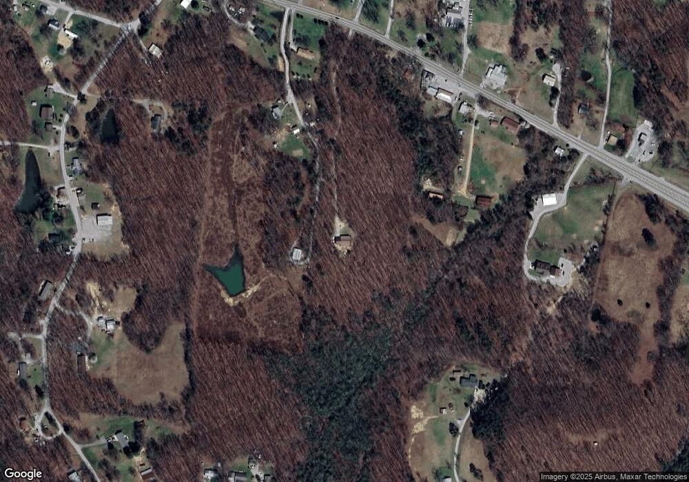
1381 N York Hwy Jamestown, TN 38556
Estimated Value: $203,000 - $365,000
--
Bed
1
Bath
1,120
Sq Ft
$260/Sq Ft
Est. Value
About This Home
This home is located at 1381 N York Hwy, Jamestown, TN 38556 and is currently estimated at $290,985, approximately $259 per square foot. 1381 N York Hwy is a home.
Ownership History
Date
Name
Owned For
Owner Type
Purchase Details
Closed on
May 16, 2013
Sold by
Wright Jimmie
Bought by
Brannam Samuel
Current Estimated Value
Home Financials for this Owner
Home Financials are based on the most recent Mortgage that was taken out on this home.
Original Mortgage
$137,755
Outstanding Balance
$97,016
Interest Rate
3.42%
Mortgage Type
New Conventional
Estimated Equity
$193,969
Purchase Details
Closed on
Sep 14, 2009
Bought by
Wright Jimmie D and Wright B
Purchase Details
Closed on
Dec 15, 2006
Bought by
Eicher Marlin Karen
Purchase Details
Closed on
Oct 13, 2001
Bought by
Davis Ernest M
Create a Home Valuation Report for This Property
The Home Valuation Report is an in-depth analysis detailing your home's value as well as a comparison with similar homes in the area
Home Values in the Area
Average Home Value in this Area
Purchase History
| Date | Buyer | Sale Price | Title Company |
|---|---|---|---|
| Brannam Samuel | $135,000 | -- | |
| Wright Jimmie D | $38,000 | -- | |
| Eicher Marlin Karen | $38,000 | -- | |
| Davis Ernest M | $20,000 | -- |
Source: Public Records
Mortgage History
| Date | Status | Borrower | Loan Amount |
|---|---|---|---|
| Open | Brannam Samuel | $137,755 |
Source: Public Records
Tax History Compared to Growth
Tax History
| Year | Tax Paid | Tax Assessment Tax Assessment Total Assessment is a certain percentage of the fair market value that is determined by local assessors to be the total taxable value of land and additions on the property. | Land | Improvement |
|---|---|---|---|---|
| 2025 | $993 | $73,525 | $0 | $0 |
| 2024 | $993 | $73,525 | $23,875 | $49,650 |
| 2023 | $993 | $73,525 | $23,875 | $49,650 |
| 2022 | $823 | $43,100 | $13,850 | $29,250 |
| 2021 | $823 | $43,100 | $13,850 | $29,250 |
| 2020 | $823 | $43,100 | $13,850 | $29,250 |
| 2019 | $823 | $43,100 | $13,850 | $29,250 |
| 2018 | $823 | $43,100 | $13,850 | $29,250 |
| 2017 | $659 | $33,200 | $4,025 | $29,175 |
| 2016 | $659 | $33,200 | $4,025 | $29,175 |
| 2015 | $659 | $33,201 | $0 | $0 |
| 2014 | $659 | $33,201 | $0 | $0 |
Source: Public Records
Map
Nearby Homes
- 1396 N York Hwy
- 1065 Star Point Rd
- 908 Forest Ln
- 0 Yellow Cliff Rd Unit 237124
- 69.77 AC Choctaw Dr
- 2277 Old Wolf River Rd
- 63 Longview Ln
- 121 Ashley Rd
- 1A Junaluska Dr
- 1016 Greenwood Dr
- 114 Ashley Rd
- 85 Laurel Dr
- 1100 N York Hwy
- 108 Laurel Dr
- 0 Panther Branch Rd Unit RTC2976961
- 0 Panther Branch Rd Unit RTC2976916
- 0 Panther Branch Rd Unit 1312723
- n/a Panther Branch Rd
- 113 Laurel Dr
- 125 Ben Pennycuff Ln
- 115 Ben Pennycuff Ln
- 120 Ben Pennycuff Ln
- 1365 N York Hwy
- 1391 N York Hwy
- 1361 N York Hwy
- 399 Lowe Rd
- 1345 N York Hwy
- 1021 Star Point Rd
- 1335 N York Hwy
- 1393 N York Hwy
- 1348 N York Hwy
- 1510 N York Hwy
- 1341 N York Hwy
- 1039 Star Point Rd
- 915 Forest Ln
- 1386 N York Hwy
- 1344 N York Hwy
- 1342 N York Hwy
- 911 Forest Ln
