1381 Potter Rd Lancaster, SC 29720
Estimated Value: $262,000 - $335,297
3
Beds
2
Baths
1,459
Sq Ft
$201/Sq Ft
Est. Value
About This Home
This home is located at 1381 Potter Rd, Lancaster, SC 29720 and is currently estimated at $293,824, approximately $201 per square foot. 1381 Potter Rd is a home located in Lancaster County with nearby schools including Buford Elementary School, Buford Middle School, and Buford High School.
Ownership History
Date
Name
Owned For
Owner Type
Purchase Details
Closed on
Jan 13, 2016
Sold by
Ritter Jeffrey M and Allman Connie
Bought by
Polston Michael W
Current Estimated Value
Purchase Details
Closed on
Jul 30, 2012
Sold by
Kennington Angela N
Bought by
Ritter Jeffrey M and Allman Connie
Home Financials for this Owner
Home Financials are based on the most recent Mortgage that was taken out on this home.
Original Mortgage
$207,405
Interest Rate
3.53%
Mortgage Type
FHA
Purchase Details
Closed on
Apr 20, 2009
Sold by
Kennington Michael S and Kennington Mike
Bought by
Kennington Angela N
Purchase Details
Closed on
May 27, 2004
Sold by
Polston Sarah S and Polston Charles Lee
Bought by
Kennington Vicki Lynn Polston
Purchase Details
Closed on
May 20, 2004
Sold by
Polston Michael W and Polston Charles Houston
Bought by
Kennington Vicki Lynn Polston
Create a Home Valuation Report for This Property
The Home Valuation Report is an in-depth analysis detailing your home's value as well as a comparison with similar homes in the area
Home Values in the Area
Average Home Value in this Area
Purchase History
| Date | Buyer | Sale Price | Title Company |
|---|---|---|---|
| Polston Michael W | $169,151 | -- | |
| Ritter Jeffrey M | $212,800 | -- | |
| Kennington Angela N | -- | -- | |
| Kennington Vicki Lynn Polston | -- | -- | |
| Davenport Brenda Joyce Polston | -- | -- | |
| Kennington Vicki Lynn Polston | -- | -- |
Source: Public Records
Mortgage History
| Date | Status | Borrower | Loan Amount |
|---|---|---|---|
| Previous Owner | Ritter Jeffrey M | $207,405 |
Source: Public Records
Tax History
| Year | Tax Paid | Tax Assessment Tax Assessment Total Assessment is a certain percentage of the fair market value that is determined by local assessors to be the total taxable value of land and additions on the property. | Land | Improvement |
|---|---|---|---|---|
| 2024 | $1,154 | $7,520 | $700 | $6,820 |
| 2023 | $1,149 | $7,520 | $700 | $6,820 |
| 2022 | $1,145 | $7,520 | $700 | $6,820 |
| 2021 | $1,121 | $7,520 | $700 | $6,820 |
| 2020 | $1,076 | $7,024 | $700 | $6,324 |
| 2019 | $2,374 | $7,024 | $700 | $6,324 |
| 2018 | $2,284 | $7,024 | $700 | $6,324 |
| 2017 | $1,052 | $0 | $0 | $0 |
| 2016 | $1,025 | $0 | $0 | $0 |
| 2015 | $3,369 | $0 | $0 | $0 |
| 2014 | $3,369 | $0 | $0 | $0 |
| 2013 | $3,369 | $0 | $0 | $0 |
Source: Public Records
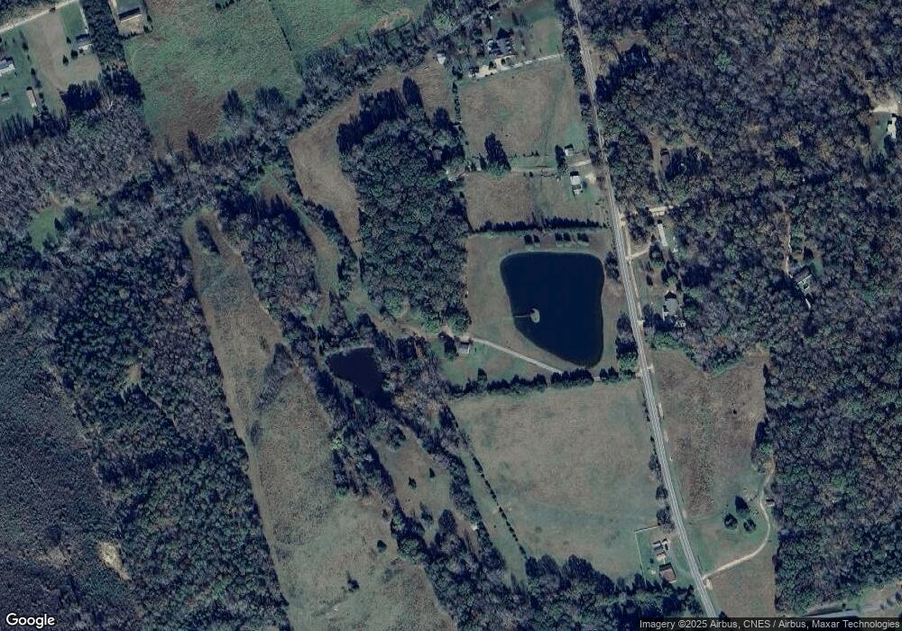
Map
Nearby Homes
- 2436 Campbell Lake Rd
- 2983 Frank Hallman Rd
- 00 Old Pardue Rd
- 2716 Camp Creek Rd
- 1696 Logan Terry Rd
- 3396 Thompson Rd
- 0 Pageland Hwy Unit CAR4343176
- 000 Daystar Rd Unit 9
- 000 Daystar Rd Unit 4
- 000 Daystar Rd Unit 11
- 000 Daystar Rd Unit 14
- 000 Daystar Rd Unit 13
- 000 Daystar Rd Unit 7
- 000 Daystar Rd Unit 6
- 000 Daystar Rd Unit 16
- 000 Daystar Rd Unit 8
- Lot A Camp Creek Dr
- 964 Pemberley St Unit 3193
- 0 Monroe Hwy Unit CAR4213831
- 3236 Daystar Rd