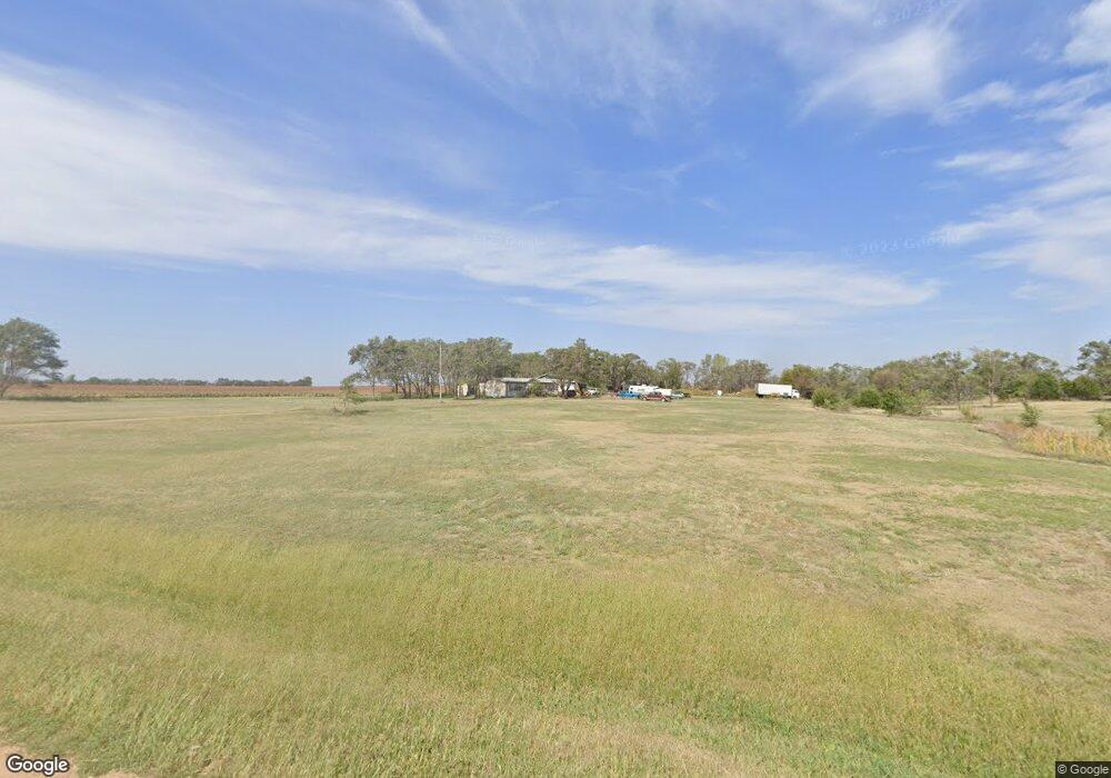
1381 Treaty Rd Delphos, KS 67436
Estimated Value: $181,948
3
Beds
1
Bath
1,763
Sq Ft
$103/Sq Ft
Est. Value
About This Home
This home is located at 1381 Treaty Rd, Delphos, KS 67436 and is currently estimated at $181,948, approximately $103 per square foot. 1381 Treaty Rd is a home located in Ottawa County with nearby schools including Minneapolis Elementary School and Minneapolis High School.
Ownership History
Date
Name
Owned For
Owner Type
Purchase Details
Closed on
Jun 21, 2006
Sold by
Ahlquist Donald and Ahlquist Patricia
Bought by
Ahlquist David L and Ahlquist Anita M
Current Estimated Value
Home Financials for this Owner
Home Financials are based on the most recent Mortgage that was taken out on this home.
Original Mortgage
$34,000
Outstanding Balance
$20,056
Interest Rate
6.63%
Estimated Equity
$146,966
Create a Home Valuation Report for This Property
The Home Valuation Report is an in-depth analysis detailing your home's value as well as a comparison with similar homes in the area
Home Values in the Area
Average Home Value in this Area
Purchase History
| Date | Buyer | Sale Price | Title Company |
|---|---|---|---|
| Ahlquist David L | -- | -- |
Source: Public Records
Mortgage History
| Date | Status | Borrower | Loan Amount |
|---|---|---|---|
| Open | Ahlquist David L | $34,000 |
Source: Public Records
Tax History Compared to Growth
Tax History
| Year | Tax Paid | Tax Assessment Tax Assessment Total Assessment is a certain percentage of the fair market value that is determined by local assessors to be the total taxable value of land and additions on the property. | Land | Improvement |
|---|---|---|---|---|
| 2025 | $1,631 | $12,540 | $542 | $11,998 |
| 2024 | $1,631 | $10,998 | $533 | $10,465 |
| 2023 | $1,516 | $10,315 | $530 | $9,785 |
| 2022 | $1,397 | $9,242 | $524 | $8,718 |
| 2021 | $766 | $8,492 | $631 | $7,861 |
| 2020 | $766 | $4,683 | $625 | $4,058 |
| 2019 | $775 | $4,598 | $610 | $3,988 |
| 2018 | $774 | $4,606 | $598 | $4,008 |
| 2017 | $780 | $4,541 | $583 | $3,958 |
| 2016 | $804 | $4,623 | $568 | $4,055 |
| 2015 | -- | $4,579 | $556 | $4,023 |
| 2014 | -- | $4,909 | $800 | $4,109 |
Source: Public Records
Map
Nearby Homes
- 00000 Ute Rd
- 1191 Sunset Rd
- 0 Volunteer Rd
- 0000 Rifle Rd
- 2254 N 160th Rd
- 1449 Oxbow Rd
- 0000 Oxbow Rd
- 00000 N 190th Rd
- 720 Marilyn St
- 725 Argyle Ave
- 727 Elm St
- 0000 Laramie Rd
- 608 N Concord St
- 0000 N 180th Rd
- 222 Mackenzie St
- 532 Laurel St
- 443 Meadowlark Dr
- 0000 K 106 Hwy
- 456 S Rothsay Ave
- 1888 Kiowa Rd