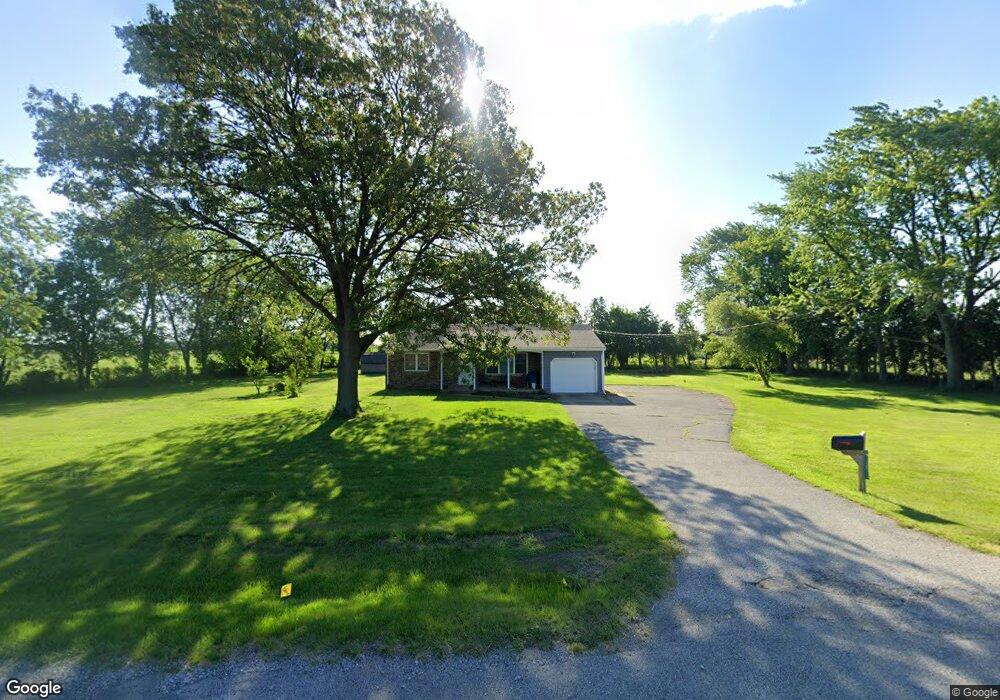
13811 S Us Highway 421 Wanatah, IN 46390
Estimated Value: $183,461 - $202,000
2
Beds
1
Bath
1,006
Sq Ft
$193/Sq Ft
Est. Value
About This Home
This home is located at 13811 S Us Highway 421, Wanatah, IN 46390 and is currently estimated at $194,365, approximately $193 per square foot. 13811 S Us Highway 421 is a home located in LaPorte County.
Ownership History
Date
Name
Owned For
Owner Type
Purchase Details
Closed on
Oct 16, 2009
Sold by
Orthman Erwin A
Bought by
Scurlock Kelli A
Current Estimated Value
Home Financials for this Owner
Home Financials are based on the most recent Mortgage that was taken out on this home.
Original Mortgage
$83,333
Outstanding Balance
$54,471
Interest Rate
5.1%
Mortgage Type
FHA
Estimated Equity
$139,894
Purchase Details
Closed on
Aug 24, 2007
Sold by
Orthman Erwin A
Bought by
Orthman Erwin A
Create a Home Valuation Report for This Property
The Home Valuation Report is an in-depth analysis detailing your home's value as well as a comparison with similar homes in the area
Home Values in the Area
Average Home Value in this Area
Purchase History
| Date | Buyer | Sale Price | Title Company |
|---|---|---|---|
| Scurlock Kelli A | -- | Chicago Title Insurance Co | |
| Orthman Erwin A | -- | None Available |
Source: Public Records
Mortgage History
| Date | Status | Borrower | Loan Amount |
|---|---|---|---|
| Open | Scurlock Kelli A | $83,333 |
Source: Public Records
Tax History Compared to Growth
Tax History
| Year | Tax Paid | Tax Assessment Tax Assessment Total Assessment is a certain percentage of the fair market value that is determined by local assessors to be the total taxable value of land and additions on the property. | Land | Improvement |
|---|---|---|---|---|
| 2024 | $630 | $125,600 | $40,000 | $85,600 |
| 2022 | $608 | $111,300 | $30,000 | $81,300 |
| 2021 | $597 | $106,700 | $30,000 | $76,700 |
| 2020 | $570 | $106,700 | $30,000 | $76,700 |
| 2019 | $550 | $103,200 | $27,500 | $75,700 |
| 2018 | $508 | $99,700 | $27,500 | $72,200 |
| 2017 | $466 | $97,400 | $27,500 | $69,900 |
| 2016 | $415 | $92,800 | $27,500 | $65,300 |
| 2014 | $229 | $74,900 | $27,500 | $47,400 |
Source: Public Records
Map
Nearby Homes
- 0 W Hwy 30 Unit GNR545374
- 106 N Illinois St Unit 266
- 104 W Cross St
- 305 N Ohio St
- 207 N Washington St
- 116 Sprunger Dr
- 627 Fieldcrest Cir
- 105 Earl St
- 627 E 300 S
- 6948 W 1700 S
- 9552 S Bigelow Mill Rd
- 6465 W 1100 S
- 421 Amy Rose Ln
- 83 Kaper Ln
- 307 N Pennsylvania St
- 87 Kaper Ln
- 114 E Jersey St
- 323 E 124 S
- 201 E Oneida St
- 202 Genesse St
- 13811 U S 421
- 10122 W 1400 S
- 14101 S Us Highway 421
- 14121 S Us Hwy
- 14121 S Us Highway 421
- 14121 U S 421
- 14151 S Us Highway 421
- 9844 W 1350 S
- 14352 S Us Highway 421
- 10431 W 1400 S
- 10431 W 1400 S
- 14366 S Us Highway 421
- 14366 S Us Highway 421
- 10451 W 1400 S
- 14382 U S 421
- 13813 S 1050 W
- 13891 S 1050 W
- 13951 S 1050 W
- 14011 S 1050 W
- 13995 S 1050 W