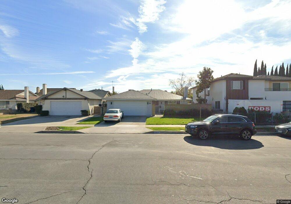
13814 Ashworth St Cerritos, CA 90703
Estimated Value: $998,370 - $1,114,000
3
Beds
2
Baths
1,408
Sq Ft
$740/Sq Ft
Est. Value
About This Home
This home is located at 13814 Ashworth St, Cerritos, CA 90703 and is currently estimated at $1,041,843, approximately $739 per square foot. 13814 Ashworth St is a home located in Los Angeles County with nearby schools including Cerritos Elementary School, Carmenita Middle School, and Cerritos High School.
Ownership History
Date
Name
Owned For
Owner Type
Purchase Details
Closed on
Mar 13, 2024
Sold by
Uyehara Adrian T and Uyehara Coleen M
Bought by
Uyehara Family Trust and Uyehara
Current Estimated Value
Purchase Details
Closed on
Mar 31, 2003
Sold by
Uyehara Adrian T
Bought by
Uyehara Adrian T
Home Financials for this Owner
Home Financials are based on the most recent Mortgage that was taken out on this home.
Original Mortgage
$131,500
Interest Rate
5.73%
Create a Home Valuation Report for This Property
The Home Valuation Report is an in-depth analysis detailing your home's value as well as a comparison with similar homes in the area
Home Values in the Area
Average Home Value in this Area
Purchase History
| Date | Buyer | Sale Price | Title Company |
|---|---|---|---|
| Uyehara Family Trust | -- | None Listed On Document | |
| Uyehara Adrian T | -- | Landamerica Lawyers Title |
Source: Public Records
Mortgage History
| Date | Status | Borrower | Loan Amount |
|---|---|---|---|
| Previous Owner | Uyehara Adrian T | $131,500 |
Source: Public Records
Tax History
| Year | Tax Paid | Tax Assessment Tax Assessment Total Assessment is a certain percentage of the fair market value that is determined by local assessors to be the total taxable value of land and additions on the property. | Land | Improvement |
|---|---|---|---|---|
| 2025 | $4,148 | $334,931 | $177,995 | $156,936 |
| 2024 | $4,148 | $328,364 | $174,505 | $153,859 |
| 2023 | $4,017 | $321,927 | $171,084 | $150,843 |
| 2022 | $3,953 | $315,616 | $167,730 | $147,886 |
| 2021 | $3,858 | $309,429 | $164,442 | $144,987 |
| 2019 | $3,768 | $300,253 | $159,565 | $140,688 |
| 2018 | $3,477 | $294,367 | $156,437 | $137,930 |
| 2016 | $3,329 | $282,938 | $150,363 | $132,575 |
| 2015 | $3,286 | $278,689 | $148,105 | $130,584 |
| 2014 | $3,226 | $273,231 | $145,204 | $128,027 |
Source: Public Records
Map
Nearby Homes
- 17405 Jasmine Way
- 17422 Vierra Ave
- 17400 Laurelbrook Ct
- 13626 Aclare Ln
- 18727 Holmes Ave
- 13202 Carolyn St
- 7371 Spruce Cir
- 5826 Bolivia Dr
- 13048 Acoro St
- 5836 Trinidad Way
- 13010 Artesia Blvd
- 7425 Bradley Dr
- 17112 Maurice Ave
- 13447 Village Dr Unit 1/2
- 18622 Kamstra Ave
- 6861 Frost Cir
- 6442 Pheasant Dr
- 7662 Cory Cir
- 5562 Thelma Ave
- 7571 San Rafael Dr
- 13808 Ashworth St
- 13820 Ashworth St
- 13805 Reva St
- 18001 Kensington Ave
- 13826 Ashworth St
- 13802 Ashworth St
- 13811 Reva St
- 17840 Kensington Ave
- 13817 Reva St
- 18003 Kensington Ave
- 13830 Ashworth St
- 17841 Kensington Ave
- 13821 Reva St
- 17836 Kensington Ave
- 17833 La Bonita Cir
- 17837 Kensington Ave
- 13836 Ashworth St
- 18007 Kensington Ave
- 13827 Reva St
- 17827 La Bonita Cir
Your Personal Tour Guide
Ask me questions while you tour the home.