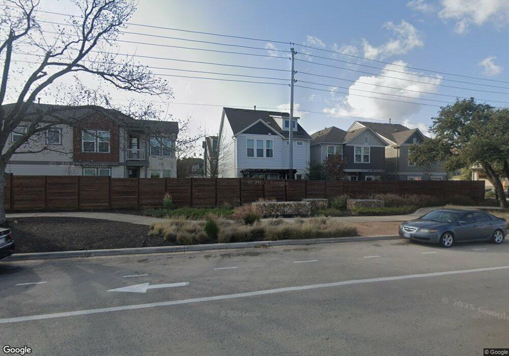
13814 Cibolo Trace Unit 71 Austin, TX 78717
Avery Ranch NeighborhoodEstimated Value: $455,000 - $506,000
Studio
3
Baths
1,782
Sq Ft
$268/Sq Ft
Est. Value
About This Home
This home is located at 13814 Cibolo Trace Unit 71, Austin, TX 78717 and is currently estimated at $477,448, approximately $267 per square foot. 13814 Cibolo Trace Unit 71 is a home located in Williamson County with nearby schools including Anderson Mill Elementary School, Pearson Ranch Middle, and McNeil High School.
Ownership History
Date
Name
Owned For
Owner Type
Purchase Details
Closed on
Aug 23, 2024
Sold by
Valderas Andre and Guerrero Joshua
Bought by
Murdough Rudyard and Murdough Prathibha
Current Estimated Value
Home Financials for this Owner
Home Financials are based on the most recent Mortgage that was taken out on this home.
Original Mortgage
$393,750
Outstanding Balance
$389,311
Interest Rate
6.89%
Mortgage Type
New Conventional
Estimated Equity
$88,137
Purchase Details
Closed on
Jun 4, 2018
Sold by
Weekley Homes Llc
Bought by
Valderas Andre
Home Financials for this Owner
Home Financials are based on the most recent Mortgage that was taken out on this home.
Original Mortgage
$280,792
Interest Rate
4.4%
Mortgage Type
New Conventional
Create a Home Valuation Report for This Property
The Home Valuation Report is an in-depth analysis detailing your home's value as well as a comparison with similar homes in the area
Home Values in the Area
Average Home Value in this Area
Purchase History
| Date | Buyer | Sale Price | Title Company |
|---|---|---|---|
| Murdough Rudyard | -- | Texas National Title | |
| Valderas Andre | -- | None Available |
Source: Public Records
Mortgage History
| Date | Status | Borrower | Loan Amount |
|---|---|---|---|
| Open | Murdough Rudyard | $393,750 | |
| Previous Owner | Valderas Andre | $280,792 |
Source: Public Records
Tax History
| Year | Tax Paid | Tax Assessment Tax Assessment Total Assessment is a certain percentage of the fair market value that is determined by local assessors to be the total taxable value of land and additions on the property. | Land | Improvement |
|---|---|---|---|---|
| 2025 | $8,058 | $460,698 | $110,738 | $349,960 |
| 2024 | $8,058 | $504,517 | $109,509 | $395,008 |
| 2023 | $7,736 | $494,416 | $88,000 | $406,416 |
| 2022 | $9,090 | $450,657 | $0 | $0 |
| 2021 | $9,584 | $409,688 | $48,917 | $389,912 |
| 2020 | $8,423 | $372,444 | $29,088 | $343,356 |
| 2019 | $8,297 | $356,255 | $29,398 | $326,857 |
| 2018 | $6,789 | $355,494 | $18,794 | $336,700 |
Source: Public Records
Map
Nearby Homes
- 13501 Cibolo Trace Unit 180
- 10502 Turnbull Loop Unit 41
- 13800 Lyndhurst St Unit 326
- 13800 Lyndhurst St Unit 221
- 13800 Lyndhurst St Unit 324
- 13800 Lyndhurst St Unit 325
- 13505 Broadmeade Ave
- 13506 Paddington Cir
- 9803 Quilberry Dr
- 13420 Lyndhurst St Unit 401, 408, 303
- 13420 Lyndhurst St Unit 208
- 13420 Lyndhurst St Unit 806
- 13420 Lyndhurst St Unit 807
- 14000 Alloro Dr Unit 46W
- 10003 Parliament House Rd
- 13604 Avery Trestle Ln Unit 17
- 13215 Woodthorpe St
- 14009 Eucalyptus Bend
- 13210 Woodthorpe St
- 14100 Laurinburg Dr
- 13900 Cibolo Trace
- 13814 Cibolo Trace
- 13900 Cibolo Trace
- 13900 Cibolo Trace Unit 70
- 10303 Oldham Cove
- 13916 Zink Bend Unit 67
- 13810 Cibolo Trace
- 13811 Cibolo Trace
- 10302 Oldham Cove
- 10300 Oldham Cove
- 13808 Cibolo Trace St
- 13914 Zink Bend Unit 66
- 10206 Cienega Cove
- 13806 Cibolo Trace
- 13806 Cibolo Trace Unit 74
- 13912 Zink Bend Unit 65
- 10203 Cienega Cove
- 10202 Cienega Cove
- 10208 Cienega Cove
- 10200 Cienega Cove
Your Personal Tour Guide
Ask me questions while you tour the home.