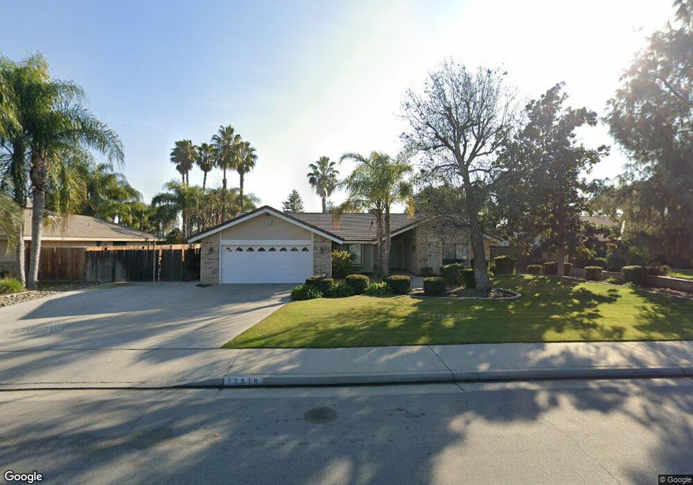
13819 Palm Ave Bakersfield, CA 93314
Estimated Value: $579,305 - $602,000
--
Bed
2
Baths
2,205
Sq Ft
$267/Sq Ft
Est. Value
About This Home
This home is located at 13819 Palm Ave, Bakersfield, CA 93314 and is currently estimated at $588,576, approximately $266 per square foot. 13819 Palm Ave is a home located in Kern County with nearby schools including Centennial Elementary School, Rosedale Middle School, and Liberty High School.
Ownership History
Date
Name
Owned For
Owner Type
Purchase Details
Closed on
Mar 1, 2004
Sold by
Mower Deronda and Deronda Mower Trust
Bought by
Lazaro Angel Jose
Current Estimated Value
Home Financials for this Owner
Home Financials are based on the most recent Mortgage that was taken out on this home.
Original Mortgage
$234,400
Outstanding Balance
$109,395
Interest Rate
5.65%
Mortgage Type
Purchase Money Mortgage
Estimated Equity
$479,181
Purchase Details
Closed on
Jan 20, 2004
Sold by
Mower Deronda and The Deronda Mower Trust
Bought by
Mower Deronda Jo
Home Financials for this Owner
Home Financials are based on the most recent Mortgage that was taken out on this home.
Original Mortgage
$234,400
Outstanding Balance
$109,395
Interest Rate
5.65%
Mortgage Type
Purchase Money Mortgage
Estimated Equity
$479,181
Create a Home Valuation Report for This Property
The Home Valuation Report is an in-depth analysis detailing your home's value as well as a comparison with similar homes in the area
Home Values in the Area
Average Home Value in this Area
Purchase History
| Date | Buyer | Sale Price | Title Company |
|---|---|---|---|
| Lazaro Angel Jose | $293,000 | Commonwealth Title | |
| Mower Deronda Jo | -- | Commonwealth Title |
Source: Public Records
Mortgage History
| Date | Status | Borrower | Loan Amount |
|---|---|---|---|
| Open | Lazaro Angel Jose | $234,400 | |
| Previous Owner | Mower Deronda Jo | $230,000 | |
| Closed | Lazaro Angel Jose | $43,950 |
Source: Public Records
Tax History Compared to Growth
Tax History
| Year | Tax Paid | Tax Assessment Tax Assessment Total Assessment is a certain percentage of the fair market value that is determined by local assessors to be the total taxable value of land and additions on the property. | Land | Improvement |
|---|---|---|---|---|
| 2025 | $8,373 | $416,565 | $113,733 | $302,832 |
| 2024 | $8,249 | $408,398 | $111,503 | $296,895 |
| 2023 | $8,249 | $400,391 | $109,317 | $291,074 |
| 2022 | $8,141 | $392,541 | $107,174 | $285,367 |
| 2021 | $8,011 | $384,845 | $105,073 | $279,772 |
| 2020 | $7,551 | $351,000 | $88,000 | $263,000 |
| 2019 | $7,475 | $344,000 | $86,000 | $258,000 |
| 2018 | $7,363 | $338,000 | $85,000 | $253,000 |
| 2017 | $7,190 | $324,000 | $81,000 | $243,000 |
| 2016 | $7,126 | $335,000 | $84,000 | $251,000 |
| 2015 | $7,104 | $332,000 | $83,000 | $249,000 |
| 2014 | $3,372 | $276,000 | $69,000 | $207,000 |
Source: Public Records
Map
Nearby Homes
- 13604 Providence Place
- 13603 Monarch Palm Ave
- 13502 Coco Palm Ct
- 13804 Taradale Ct
- 13417 Hinault Dr Unit 1
- 13306 Monarch Palm Ave
- 815 Gilsum Ct
- 908 Brookline Ln
- 1838 Renfro Rd
- 14035 Rosedale Hwy Unit 72
- 14035 Rosedale Hwy Unit 82
- 14035 Rosedale Hwy Unit 87
- 14035 Rosedale Hwy Unit 69
- 14035 Rosedale Hwy Unit 108
- 14035 Rosedale Hwy Unit 134
- 14035 Rosedale Hwy Unit 137
- 14035 Rosedale Hwy Unit 83
- 14035 Rosedale Hwy Unit 162
- 14113 Wellington Ct
- 13300 Coco Palm Ct
- 13901 Palm Ave
- 13813 Palm Ave
- 13804 Westbury Ave
- 13907 Palm Ave
- 13808 Westbury Ave
- 13800 Westbury Ave
- 13900 Westbury Ave
- 1900 Deerfield St
- 1901 Deerfield St
- 13913 Palm Ave
- 13904 Westbury Ave
- 1824 Longreach Dr
- 1816 Longreach Dr
- 1906 Deerfield St
- 1907 Deerfield St
- 1808 Longreach Dr
- 13908 Westbury Ave
- 14001 Palm Ave
- 1800 Longreach Dr
- 1913 Deerfield St